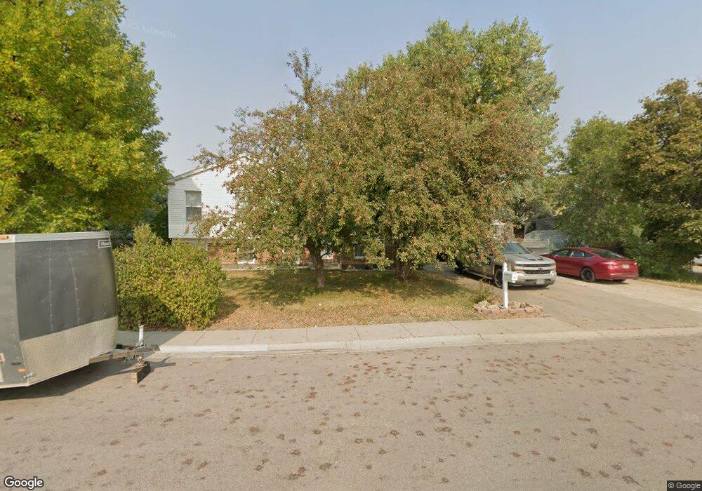
201 E Flying Circle Dr Gillette, WY 82716
Estimated Value: $271,000 - $341,000
4
Beds
1
Bath
1,764
Sq Ft
$169/Sq Ft
Est. Value
About This Home
This home is located at 201 E Flying Circle Dr, Gillette, WY 82716 and is currently estimated at $297,467, approximately $168 per square foot. 201 E Flying Circle Dr is a home located in Campbell County with nearby schools including Westwood High School, Stocktrail Elementary School, and Prairie Wind Elementary School.
Ownership History
Date
Name
Owned For
Owner Type
Purchase Details
Closed on
Jul 7, 2021
Sold by
Kovach Cody D and Kovach Angel L
Bought by
Elton Norman E and Elton Peggy A
Current Estimated Value
Home Financials for this Owner
Home Financials are based on the most recent Mortgage that was taken out on this home.
Original Mortgage
$179,920
Outstanding Balance
$163,250
Interest Rate
2.9%
Mortgage Type
New Conventional
Estimated Equity
$134,218
Purchase Details
Closed on
Jun 22, 2018
Sold by
Besand Linda M and Allison Sally J
Bought by
Kovach Cody D
Home Financials for this Owner
Home Financials are based on the most recent Mortgage that was taken out on this home.
Original Mortgage
$176,738
Interest Rate
4.5%
Mortgage Type
FHA
Create a Home Valuation Report for This Property
The Home Valuation Report is an in-depth analysis detailing your home's value as well as a comparison with similar homes in the area
Purchase History
| Date | Buyer | Sale Price | Title Company |
|---|---|---|---|
| Elton Norman E | -- | First American Title | |
| Elton Family Trust | -- | First American Title | |
| Kovach Cody D | -- | First American Title |
Source: Public Records
Mortgage History
| Date | Status | Borrower | Loan Amount |
|---|---|---|---|
| Open | Elton Family Trust | $179,920 | |
| Closed | Elton Family Trust | $179,920 | |
| Previous Owner | Kovach Cody D | $176,738 |
Source: Public Records
Tax History
| Year | Tax Paid | Tax Assessment Tax Assessment Total Assessment is a certain percentage of the fair market value that is determined by local assessors to be the total taxable value of land and additions on the property. | Land | Improvement |
|---|---|---|---|---|
| 2025 | $1,303 | $11,254 | $2,655 | $8,599 |
| 2024 | $13 | $21,534 | $5,107 | $16,427 |
| 2023 | $1,471 | $20,902 | $5,107 | $15,795 |
| 2022 | $1,338 | $18,967 | $4,062 | $14,905 |
| 2021 | $1,172 | $17,178 | $4,062 | $13,116 |
| 2020 | $1,126 | $16,550 | $4,062 | $12,488 |
| 2019 | $1,139 | $16,770 | $4,062 | $12,708 |
| 2018 | $1,117 | $16,518 | $4,062 | $12,456 |
| 2017 | $1,086 | $16,104 | $3,131 | $12,973 |
| 2016 | $1,187 | $17,576 | $3,131 | $14,445 |
| 2015 | -- | $17,529 | $3,131 | $14,398 |
| 2014 | -- | $17,610 | $3,131 | $14,479 |
Source: Public Records
Map
Nearby Homes
- 0000 Tract A6 Broad Axe Rd
- 1801 S Gillette Ave
- 209 E Tonk St
- 480 Boxelder Rd
- 2808-2814 Dogwood Ave
- 2371 Mahogany Cir
- 640 W 12th St
- 2382 Mahogany Cir
- 816 E 9th St
- 821 Madison St
- 402 S Brooks Ave
- 905 S Gurley Ave
- 309 Rockpile Blvd
- 913 A&B E 12th St
- 1116 Boxelder Rd
- 814 E 3rd St
- 1105 W Beaver Dr
- 1114 Indian Hills Dr
- 907 E 4th St
- 1122 Boxelder Rd
- 1219 L A Ln
- 200 E Flying Circle Dr
- 202 E Flying Circle Dr
- 1218 Shipwheel Ln
- 205 E Flying Circle Dr
- 1217 L A Ln
- 204 E Flying Circle Dr
- 1216 Shipwheel Ln
- 1218 L A Ln
- 1215 L A Ln
- 1214 Shipwheel Ln
- 1216 L A Ln
- 206 E Flying Circle Dr
- 1214 L A Ln
- 1212 Shipwheel Ln
- 1213 L A Ln
- 1223 Shipwheel Ln
- 1225 Shipwheel Ln
- 208 E Flying Circle Dr
- 1227 Shipwheel Ln
Your Personal Tour Guide
Ask me questions while you tour the home.