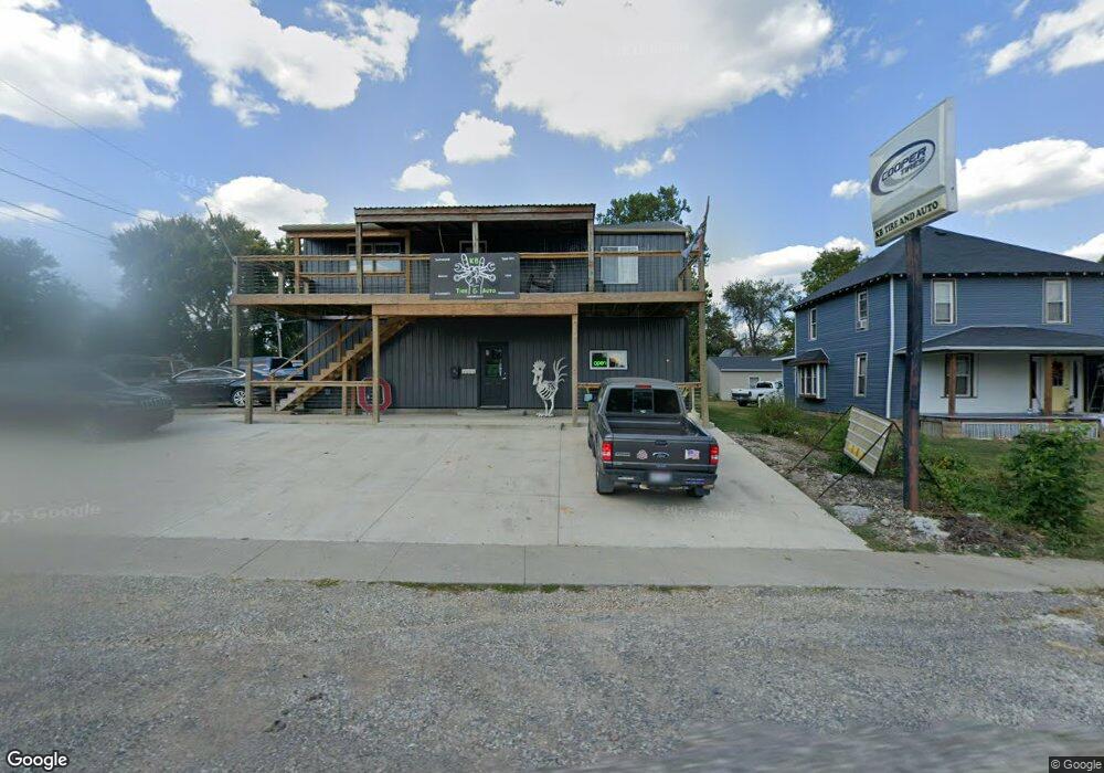
201 E Main St Danville, OH 43014
Estimated Value: $168,016
Studio
1
Bath
1,680
Sq Ft
$100/Sq Ft
Est. Value
About This Home
This home is located at 201 E Main St, Danville, OH 43014 and is currently estimated at $168,016, approximately $100 per square foot. 201 E Main St is a home located in Knox County with nearby schools including Danville Elementary School, Danville Middle School, and Danville High School.
Ownership History
Date
Name
Owned For
Owner Type
Purchase Details
Closed on
Dec 1, 2023
Sold by
Bowman Land Danville Llc
Bought by
Kollas Belcher Llc
Current Estimated Value
Home Financials for this Owner
Home Financials are based on the most recent Mortgage that was taken out on this home.
Original Mortgage
$116,000
Outstanding Balance
$111,468
Interest Rate
7.79%
Mortgage Type
Credit Line Revolving
Estimated Equity
$56,548
Purchase Details
Closed on
Dec 5, 2013
Sold by
Shultz John J
Bought by
Bowman Land Danville Llc
Home Financials for this Owner
Home Financials are based on the most recent Mortgage that was taken out on this home.
Original Mortgage
$151,450
Interest Rate
6.5%
Mortgage Type
Commercial
Purchase Details
Closed on
Nov 5, 2002
Sold by
Loney J Richard
Bought by
Shultz John J
Purchase Details
Closed on
Nov 13, 1989
Bought by
Loney J Richard
Create a Home Valuation Report for This Property
The Home Valuation Report is an in-depth analysis detailing your home's value as well as a comparison with similar homes in the area
Purchase History
| Date | Buyer | Sale Price | Title Company |
|---|---|---|---|
| Kollas Belcher Llc | $145,000 | None Listed On Document | |
| Bowman Land Danville Llc | $75,000 | None Available | |
| Shultz John J | $100,000 | -- | |
| Loney J Richard | $24,000 | -- |
Source: Public Records
Mortgage History
| Date | Status | Borrower | Loan Amount |
|---|---|---|---|
| Open | Kollas Belcher Llc | $116,000 | |
| Previous Owner | Bowman Land Danville Llc | $151,450 |
Source: Public Records
Tax History
| Year | Tax Paid | Tax Assessment Tax Assessment Total Assessment is a certain percentage of the fair market value that is determined by local assessors to be the total taxable value of land and additions on the property. | Land | Improvement |
|---|---|---|---|---|
| 2024 | $1,864 | $39,480 | $6,460 | $33,020 |
| 2023 | $1,861 | $39,480 | $6,460 | $33,020 |
| 2022 | $1,854 | $35,890 | $5,870 | $30,020 |
| 2021 | $1,854 | $35,890 | $5,870 | $30,020 |
| 2020 | $1,794 | $35,890 | $5,870 | $30,020 |
| 2019 | $1,667 | $31,340 | $7,830 | $23,510 |
| 2018 | $1,656 | $31,340 | $7,830 | $23,510 |
| 2017 | $1,641 | $31,340 | $7,830 | $23,510 |
| 2016 | $1,627 | $31,340 | $7,830 | $23,510 |
| 2015 | $1,624 | $31,340 | $7,830 | $23,510 |
| 2014 | $1,629 | $31,340 | $7,830 | $23,510 |
| 2013 | $1,680 | $29,930 | $7,830 | $22,100 |
Source: Public Records
Map
Nearby Homes
- 202 Plum St
- 9 E South St
- 102 Cedar St
- 228 E Walnut St
- 106 W Rambo St
- 14799 Millersburg Rd
- 26367 Danville Amity Rd
- 13617 Millersburg Rd
- 13904 Carey Ln
- 15757 Hunter Rd
- 13356 Mowery Rd
- 29575 Hoover Rd
- 0 King Rd Unit 20260021
- 0 King Rd Unit 225019584
- 12275 Humbert Rd
- 0 Westmoreland Dr Unit 225036591
- 0 Westmoreland Dr Unit 20250682
- 0 Grand Valley Dr Unit 20260011
- 15977 Mohaven Rd
- 817 Highland Hills Dr
Your Personal Tour Guide
Ask me questions while you tour the home.