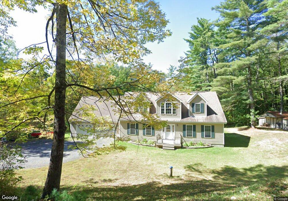
201 East Rd Clarksburg, MA 01247
Estimated Value: $365,000 - $525,000
4
Beds
3
Baths
2,689
Sq Ft
$163/Sq Ft
Est. Value
About This Home
This home is located at 201 East Rd, Clarksburg, MA 01247 and is currently estimated at $437,582, approximately $162 per square foot. 201 East Rd is a home located in Berkshire County with nearby schools including Clarksburg Elementary School.
Ownership History
Date
Name
Owned For
Owner Type
Purchase Details
Closed on
Nov 24, 2008
Sold by
Moresi David R
Bought by
Bombardier Norman J and Piaggi Faith B
Current Estimated Value
Home Financials for this Owner
Home Financials are based on the most recent Mortgage that was taken out on this home.
Original Mortgage
$280,000
Outstanding Balance
$184,103
Interest Rate
6.03%
Mortgage Type
Purchase Money Mortgage
Estimated Equity
$253,479
Purchase Details
Closed on
Jun 30, 2006
Sold by
Hartman Susan M and Collettee William A
Bought by
Moresi David R
Home Financials for this Owner
Home Financials are based on the most recent Mortgage that was taken out on this home.
Original Mortgage
$196,000
Interest Rate
6.58%
Mortgage Type
Purchase Money Mortgage
Create a Home Valuation Report for This Property
The Home Valuation Report is an in-depth analysis detailing your home's value as well as a comparison with similar homes in the area
Home Values in the Area
Average Home Value in this Area
Purchase History
| Date | Buyer | Sale Price | Title Company |
|---|---|---|---|
| Bombardier Norman J | $295,000 | -- | |
| Moresi David R | $70,000 | -- |
Source: Public Records
Mortgage History
| Date | Status | Borrower | Loan Amount |
|---|---|---|---|
| Open | Bombardier Norman J | $280,000 | |
| Previous Owner | Moresi David R | $196,000 |
Source: Public Records
Tax History Compared to Growth
Tax History
| Year | Tax Paid | Tax Assessment Tax Assessment Total Assessment is a certain percentage of the fair market value that is determined by local assessors to be the total taxable value of land and additions on the property. | Land | Improvement |
|---|---|---|---|---|
| 2025 | $5,322 | $391,900 | $42,600 | $349,300 |
| 2024 | $5,767 | $375,700 | $36,700 | $339,000 |
| 2023 | $5,665 | $366,400 | $36,700 | $329,700 |
| 2022 | $5,587 | $339,000 | $36,700 | $302,300 |
| 2021 | $4,928 | $311,500 | $36,700 | $274,800 |
| 2020 | $5,244 | $293,100 | $45,500 | $247,600 |
| 2019 | $4,637 | $290,200 | $45,000 | $245,200 |
| 2018 | $4,435 | $289,700 | $45,000 | $244,700 |
| 2016 | $3,838 | $250,500 | $45,200 | $205,300 |
| 2015 | $3,935 | $279,300 | $48,500 | $230,800 |
| 2014 | $3,741 | $280,000 | $48,500 | $231,500 |
Source: Public Records
Map
Nearby Homes
- 0 Daniels Rd
- 0 River Rd Unit 245240
- 0 Cross Rd
- 792 Middle Rd
- 0 Beaver St
- 2438 Mohawk Trail
- 39 Fieldwood Dr
- 83 Walker St
- 00 Mohawk Trail
- 0 Mohawk Trail
- 23-27 Gallup St
- 306 Union St
- 0 Oak Hill Unit 237953
- 50 Gallup St
- 97 Barth St
- 70 Mohawk Trail
- 129-133 Franklin St
- 0 Tilda Hill Rd
- 921 Mohawk Trail
- 350 Mohawk Trail