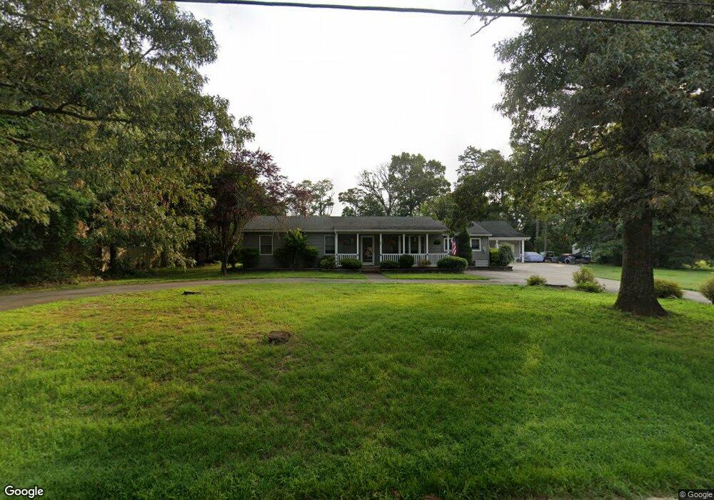
201 Elmwood Ave Marmora, NJ 08223
Estimated Value: $458,741 - $543,000
--
Bed
--
Bath
1,526
Sq Ft
$316/Sq Ft
Est. Value
About This Home
This home is located at 201 Elmwood Ave, Marmora, NJ 08223 and is currently estimated at $482,935, approximately $316 per square foot. 201 Elmwood Ave is a home located in Cape May County with nearby schools including Upper Township Primary School, Upper Township Elementary School, and Upper Township Middle School.
Ownership History
Date
Name
Owned For
Owner Type
Purchase Details
Closed on
Sep 30, 1999
Sold by
Maurer Donna M
Bought by
Moyer Joseph E and Johnson Karen L
Current Estimated Value
Home Financials for this Owner
Home Financials are based on the most recent Mortgage that was taken out on this home.
Original Mortgage
$128,000
Outstanding Balance
$38,708
Interest Rate
7.85%
Estimated Equity
$444,227
Purchase Details
Closed on
May 26, 1992
Sold by
Steelman Warren and Steelman Anna J
Bought by
Maurer Donna M
Create a Home Valuation Report for This Property
The Home Valuation Report is an in-depth analysis detailing your home's value as well as a comparison with similar homes in the area
Home Values in the Area
Average Home Value in this Area
Purchase History
| Date | Buyer | Sale Price | Title Company |
|---|---|---|---|
| Moyer Joseph E | $135,000 | -- | |
| Maurer Donna M | $122,000 | -- |
Source: Public Records
Mortgage History
| Date | Status | Borrower | Loan Amount |
|---|---|---|---|
| Open | Moyer Joseph E | $128,000 |
Source: Public Records
Tax History Compared to Growth
Tax History
| Year | Tax Paid | Tax Assessment Tax Assessment Total Assessment is a certain percentage of the fair market value that is determined by local assessors to be the total taxable value of land and additions on the property. | Land | Improvement |
|---|---|---|---|---|
| 2025 | $5,834 | $254,200 | $118,100 | $136,100 |
| 2024 | $5,834 | $254,200 | $118,100 | $136,100 |
| 2023 | $5,547 | $254,200 | $118,100 | $136,100 |
| 2022 | $5,343 | $254,200 | $118,100 | $136,100 |
| 2021 | $5,150 | $254,200 | $118,100 | $136,100 |
| 2020 | $4,954 | $254,200 | $118,100 | $136,100 |
| 2019 | $4,822 | $254,200 | $118,100 | $136,100 |
| 2018 | $4,695 | $254,200 | $118,100 | $136,100 |
| 2017 | $4,637 | $254,200 | $118,100 | $136,100 |
| 2016 | $4,561 | $245,900 | $118,100 | $127,800 |
| 2015 | $4,439 | $245,900 | $118,100 | $127,800 |
| 2014 | $4,412 | $299,700 | $185,200 | $114,500 |
Source: Public Records
Map
Nearby Homes
- 315 N Quail Dr
- 200 Egret
- 430 Route Us 9 S Unit 109
- 430 U S 9
- 46 Church Rd
- 516 N Route 9 Unit L-2
- 430 S Shore Rd
- 14 Roberts Ave
- 166 Heron Ln
- 1 Roosevelt Blvd
- 734 Stagecoach Rd
- 238 Egret Ln
- 246 Egret Ln
- 14 Lyndhurst Rd
- 32 Norwood Rd
- 202 N Shore Rd
- 61 S Lake Dr
- 14 Bank Rd
- 16 Hollyberry Ln
- 109 W Ocean Ave
- 204 Willetts Rd
- 121 Elmwood Ave
- 205 Elmwood Ave
- 320 Union Ave
- 303 Bergen Ave
- 203 Mistletoe Ave
- 208 Elmwood Ave
- 212 Elmwood Ave
- 104 Elmwood Ave
- 300 Bergen Ave
- 108 Elmwood Ave
- 300 Hudson Ave
- 325 Bergen Ave
- 205 Mistletoe Ave
- 320 Bergen Ave
- 451 Willets Rd
- 451 Willets Point Rd
- 501 Willets Point Rd
- 324 Bergen Ave
- 341 Union Ave