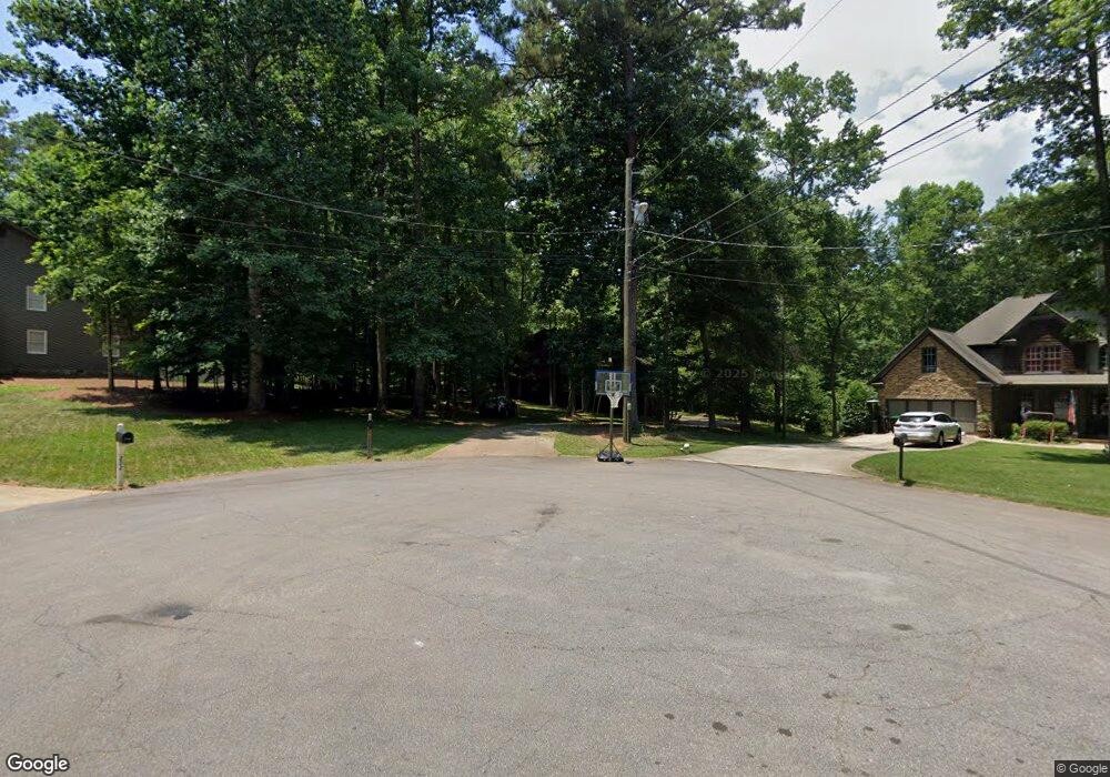
201 Emerald Cove Ln Woodstock, GA 30189
Sutallee NeighborhoodEstimated Value: $399,723 - $509,000
3
Beds
3
Baths
2,172
Sq Ft
$201/Sq Ft
Est. Value
About This Home
This home is located at 201 Emerald Cove Ln, Woodstock, GA 30189 and is currently estimated at $437,431, approximately $201 per square foot. 201 Emerald Cove Ln is a home located in Cherokee County with nearby schools including Boston Elementary School, E. T. Booth Middle School, and Etowah High School.
Ownership History
Date
Name
Owned For
Owner Type
Purchase Details
Closed on
Nov 9, 2017
Sold by
Dickey Elaine H
Bought by
Dickey James L
Current Estimated Value
Purchase Details
Closed on
Oct 3, 2000
Sold by
Ameye Michael R
Bought by
Ameye Michael R and Ameye Ann B
Home Financials for this Owner
Home Financials are based on the most recent Mortgage that was taken out on this home.
Original Mortgage
$33,100
Interest Rate
7.96%
Mortgage Type
New Conventional
Create a Home Valuation Report for This Property
The Home Valuation Report is an in-depth analysis detailing your home's value as well as a comparison with similar homes in the area
Home Values in the Area
Average Home Value in this Area
Purchase History
| Date | Buyer | Sale Price | Title Company |
|---|---|---|---|
| Dickey James L | -- | -- | |
| Ameye Michael R | -- | -- |
Source: Public Records
Mortgage History
| Date | Status | Borrower | Loan Amount |
|---|---|---|---|
| Previous Owner | Ameye Michael R | $33,100 |
Source: Public Records
Tax History Compared to Growth
Tax History
| Year | Tax Paid | Tax Assessment Tax Assessment Total Assessment is a certain percentage of the fair market value that is determined by local assessors to be the total taxable value of land and additions on the property. | Land | Improvement |
|---|---|---|---|---|
| 2025 | $747 | $144,040 | $34,000 | $110,040 |
| 2024 | $721 | $134,040 | $29,200 | $104,840 |
| 2023 | $603 | $140,760 | $29,200 | $111,560 |
| 2022 | $696 | $115,400 | $25,200 | $90,200 |
| 2021 | $677 | $94,800 | $21,040 | $73,760 |
| 2020 | $646 | $85,840 | $18,800 | $67,040 |
| 2019 | $1,932 | $70,880 | $16,200 | $54,680 |
| 2018 | $1,921 | $67,200 | $14,800 | $52,400 |
| 2017 | $1,865 | $168,400 | $14,800 | $52,560 |
| 2016 | $1,810 | $161,200 | $13,600 | $50,880 |
| 2015 | $1,632 | $144,500 | $13,600 | $44,200 |
| 2014 | $1,409 | $125,300 | $11,080 | $39,040 |
Source: Public Records
Map
Nearby Homes
- 504 N Little Victoria Rd
- 619 Lovinggood Trail
- 745 Cedar Creek Way Unit 1
- 812 Willow Oak Dr
- 819 Victoria Place
- 401 Cottonwood Dr
- 1413 Reed Ln
- 386 N Victoria Rd
- 923 Pine Cir
- 912 Oak Dr
- 617 Driftwood Dr
- 373 N Victoria Rd
- 313 Maltibe Dr
- 0 Black Oak Trail Unit 7303191
- 0 Black Oak Trail Unit 10267626
- 442 Colonial Walk
- 315 Pinewood Dr
- 146 Sunset Ln
- 416 Ballymore Pass
- 7119 Big Woods Dr
- 203 Emerald Cove Ln
- 202 Emerald Cove Ln Unit 1
- 205 Emerald Cove Ln Unit 1
- 204 Emerald Cove Ln Unit 1
- 931 Victoria Landing Dr
- 933 Victoria Landing Dr
- 929 Victoria Landing Dr
- 207 Emerald Cove Ln
- 927 Victoria Landing Dr
- 209 Emerald Cove Ln
- 9128 Victoria Landing Dr
- 118 Emerald Cove Dr
- 925 Victoria Landing Dr
- 116 Emerald Cove Dr
- 208 Emerald Cove Ln
- 114 Emerald Cove Dr Unit 1
- 945 Victoria Landing Dr
- 923 Victoria Landing Dr
- 940 Victoria Landing Dr
- 112 Emerald Cove Dr