201 Emma Ln Canton, NC 28716
Estimated Value: $370,000 - $439,000
3
Beds
2
Baths
1,554
Sq Ft
$256/Sq Ft
Est. Value
About This Home
This home is located at 201 Emma Ln, Canton, NC 28716 and is currently estimated at $398,461, approximately $256 per square foot. 201 Emma Ln is a home located in Haywood County with nearby schools including Bethel Elementary, Bethel Middle School, and Pisgah High School.
Ownership History
Date
Name
Owned For
Owner Type
Purchase Details
Closed on
Jul 25, 2020
Sold by
Autrey Sean R and Autrey Laura
Bought by
Autrey James W
Current Estimated Value
Home Financials for this Owner
Home Financials are based on the most recent Mortgage that was taken out on this home.
Original Mortgage
$135,000
Outstanding Balance
$119,976
Interest Rate
3.1%
Mortgage Type
New Conventional
Estimated Equity
$278,485
Purchase Details
Closed on
Dec 15, 1997
Bought by
Autrey James W and Autrey Marilyn L
Create a Home Valuation Report for This Property
The Home Valuation Report is an in-depth analysis detailing your home's value as well as a comparison with similar homes in the area
Home Values in the Area
Average Home Value in this Area
Purchase History
| Date | Buyer | Sale Price | Title Company |
|---|---|---|---|
| Autrey James W | $129,000 | None Available | |
| Autrey James W | $159,000 | -- |
Source: Public Records
Mortgage History
| Date | Status | Borrower | Loan Amount |
|---|---|---|---|
| Open | Autrey James W | $135,000 |
Source: Public Records
Tax History
| Year | Tax Paid | Tax Assessment Tax Assessment Total Assessment is a certain percentage of the fair market value that is determined by local assessors to be the total taxable value of land and additions on the property. | Land | Improvement |
|---|---|---|---|---|
| 2025 | -- | $242,700 | $36,900 | $205,800 |
| 2024 | $17 | $242,700 | $36,900 | $205,800 |
| 2023 | $1,700 | $242,700 | $36,900 | $205,800 |
| 2022 | $1,664 | $242,700 | $36,900 | $205,800 |
| 2021 | $1,664 | $242,700 | $36,900 | $205,800 |
| 2020 | $1,509 | $201,500 | $36,900 | $164,600 |
| 2019 | $1,514 | $201,500 | $36,900 | $164,600 |
| 2018 | $1,514 | $201,500 | $36,900 | $164,600 |
| 2017 | $1,494 | $201,500 | $0 | $0 |
| 2016 | $1,410 | $194,300 | $0 | $0 |
| 2015 | $1,410 | $194,300 | $0 | $0 |
| 2014 | $1,289 | $194,300 | $0 | $0 |
Source: Public Records
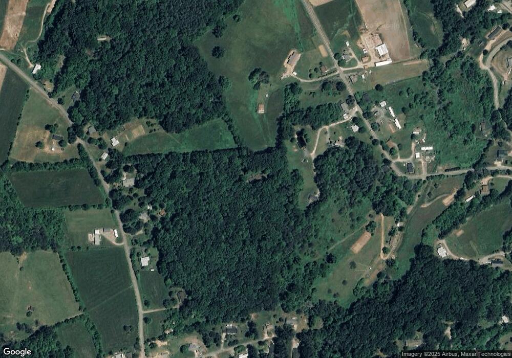
Map
Nearby Homes
- 32 Windy Hill Ln
- 133 Windy Hill Ln
- 57 Eden Brook Dr
- 4 Mayapple Ln
- 600 Scottdale Rd
- 99 Thistle Ridge
- 1901 Murray Rd
- 57 Bittersweet Trail
- 800 Murray Rd
- 706 Ramble Ln
- 3760 Pisgah Dr
- 00 Cove Creek Rd
- 1254 Pisgah Dr
- 27 Barkn Cove
- 36 Kimberly Dr
- 28 Back Stage Pass
- 130 Crestview St
- 61 Riverbend Rd
- 21 Riverbend Rd
- Lot 2 Kuykendall Ln
- 138 Upward Way
- 88 Upward Way
- 47 Upward Way
- 476 Henson Cove Rd
- 496 Henson Cove Rd
- 481 Coffee Branch Rd
- 436 Henson Cove Rd
- 430 Henson Cove Rd
- 26 Emma Ln
- 422 Henson Cove Rd
- 572 Henson Cove Rd
- 30 Farmvale Place
- 499 Coffee Branch Rd
- 437 Henson Cove Rd
- 9 Music Dr
- 575 Coffee Branch Rd
- 21 Farmvale Place
- 365 Coffee Branch Rd
- 147 Twin Oaks Rd
- 00000 Henson Cove Rd
Your Personal Tour Guide
Ask me questions while you tour the home.