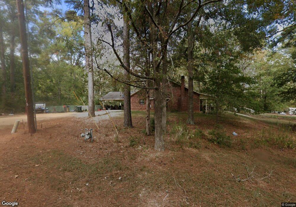
201 Ford St Choudrant, LA 71227
Estimated Value: $253,000 - $584,000
About This Home
This home is located at 201 Ford St, Choudrant, LA 71227 and is currently estimated at $368,126, approximately $172 per square foot. 201 Ford St is a home located in Lincoln Parish with nearby schools including Choudrant Elementary School, Choudrant High School, and Ruston Junior High School.
Ownership History
We collect this data history from publicly available records. To have your information removed, we recommend requesting removal directly through your county’s website.
Purchase Details
Home Financials for this Owner
Home Financials are based on the most recent Mortgage that was taken out on this home.Purchase History
We collect this data history from publicly available records. To have your information removed, we recommend requesting removal directly through your county’s website.
| Date | Buyer | Sale Price | Title Company |
|---|---|---|---|
| $175,000 | None Available |
Mortgage History
We collect this data history from publicly available records. To have your information removed, we recommend requesting removal directly through your county’s website.
| Date | Status | Borrower | Loan Amount |
|---|---|---|---|
| Open | $107,000 | ||
| Closed | $100,761 |
Tax History
We collect this data history from publicly available records. To have your information removed, we recommend requesting removal directly through your county’s website.
| Year | Tax Paid | Tax Assessment Tax Assessment Total Assessment is a certain percentage of the fair market value that is determined by local assessors to be the total taxable value of land and additions on the property. | Land | Improvement |
|---|---|---|---|---|
| 2025 | $1,610 | $20,838 | $3,075 | $17,763 |
| 2024 | $1,610 | $20,838 | $3,075 | $17,763 |
| 2023 | $1,675 | $20,838 | $3,075 | $17,763 |
| 2022 | $1,664 | $20,838 | $3,075 | $17,763 |
| 2021 | $1,636 | $20,838 | $3,075 | $17,763 |
| 2020 | $1,446 | $18,379 | $3,075 | $15,304 |
| 2019 | $1,574 | $19,717 | $3,075 | $16,642 |
| 2018 | $1,575 | $19,717 | $3,075 | $16,642 |
| 2017 | $1,579 | $19,717 | $3,075 | $16,642 |
| 2016 | $1,612 | $0 | $0 | $0 |
| 2015 | $1,555 | $17,594 | $2,550 | $15,044 |
| 2013 | $1,579 | $17,594 | $2,550 | $15,044 |
Map
- 156 Aswell St
- 0 N Depot St
- 00 Roach Rd
- 118 Silverthorne Dr
- 1732 Highway 80
- 586 Walker Rd
- 579 Walker Rd
- 111 Douglas Ln
- 117 Douglas Ln
- 1271 Emory Rd
- 4926 Highway 145
- 204 Keeneland Ct
- 205 Cherrybark Way
- 165 Loblolly Ln
- 147 Loblolly Ln
- 0 Shortstraw Rd
- 0 Shortstraw Rd
- 1120 Norris Rd
- 634 Cheatwood Rd
- 120 Lanes End Dr
Ask me questions while you tour the home.