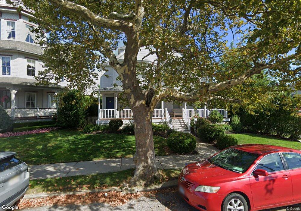
201 Forman Ave Unit 9 Bed Point Pleasant Beach, NJ 08742
Point Pleasant Beach NeighborhoodEstimated Value: $1,446,798 - $1,898,000
9
Beds
5
Baths
4,689
Sq Ft
$354/Sq Ft
Est. Value
About This Home
This home is located at 201 Forman Ave Unit 9 Bed, Point Pleasant Beach, NJ 08742 and is currently estimated at $1,660,450, approximately $354 per square foot. 201 Forman Ave Unit 9 Bed is a home located in Ocean County with nearby schools including G Harold Antrim Elementary School, Point Pleasant Beach High School, and St. Peter School.
Ownership History
Date
Name
Owned For
Owner Type
Purchase Details
Closed on
Jun 19, 2014
Sold by
Beckenhauer Richard and Beckenhauer Joan
Bought by
Schaeffer James R and Grossi Schaeffer Karla A
Current Estimated Value
Home Financials for this Owner
Home Financials are based on the most recent Mortgage that was taken out on this home.
Original Mortgage
$581,250
Outstanding Balance
$440,777
Interest Rate
4.12%
Mortgage Type
New Conventional
Estimated Equity
$1,219,673
Purchase Details
Closed on
May 17, 2002
Sold by
Cadigan J Dennis
Bought by
Beckenhauer Richard and Beckenhauer Joan
Home Financials for this Owner
Home Financials are based on the most recent Mortgage that was taken out on this home.
Original Mortgage
$364,800
Interest Rate
7.01%
Create a Home Valuation Report for This Property
The Home Valuation Report is an in-depth analysis detailing your home's value as well as a comparison with similar homes in the area
Home Values in the Area
Average Home Value in this Area
Purchase History
| Date | Buyer | Sale Price | Title Company |
|---|---|---|---|
| Schaeffer James R | $775,000 | Carroll Title Agency Llc | |
| Beckenhauer Richard | $457,000 | -- |
Source: Public Records
Mortgage History
| Date | Status | Borrower | Loan Amount |
|---|---|---|---|
| Open | Schaeffer James R | $581,250 | |
| Previous Owner | Beckenhauer Richard | $364,800 |
Source: Public Records
Tax History Compared to Growth
Tax History
| Year | Tax Paid | Tax Assessment Tax Assessment Total Assessment is a certain percentage of the fair market value that is determined by local assessors to be the total taxable value of land and additions on the property. | Land | Improvement |
|---|---|---|---|---|
| 2025 | $11,440 | $665,900 | $375,000 | $290,900 |
| 2024 | $11,094 | $665,900 | $375,000 | $290,900 |
| 2023 | $10,781 | $665,900 | $375,000 | $290,900 |
| 2022 | $10,781 | $665,900 | $375,000 | $290,900 |
| 2021 | $10,541 | $665,900 | $375,000 | $290,900 |
| 2020 | $10,528 | $665,900 | $375,000 | $290,900 |
| 2019 | $10,381 | $665,900 | $375,000 | $290,900 |
| 2018 | $10,222 | $665,900 | $375,000 | $290,900 |
| 2017 | $10,062 | $665,900 | $375,000 | $290,900 |
| 2016 | $10,108 | $665,900 | $375,000 | $290,900 |
| 2015 | $10,028 | $665,900 | $375,000 | $290,900 |
| 2014 | $9,982 | $665,900 | $375,000 | $290,900 |
Source: Public Records
Map
Nearby Homes
- 201 Forman Ave
- 110 Trenton Ave
- 118 New York Ave
- 900 Ocean Ave Unit 16
- 1008 Ocean Ave N
- 305 Chicago Ave
- 37 Arnold Ave
- 313 Washington Ave
- 503 Atlantic Ave
- 106 Makin Ave
- 607 Richmond Ave Unit 4
- 25 Niblick St
- 1322 Ocean Ave
- 202 Homestead Ave
- 303 Cooks Ln
- 331 Hawthorne Ave
- 222 Ocean Ave
- 325 Hawthorne Ave Unit 327
- 216 Ocean Ave
- 704 Forman Ave
- 203 Forman Ave
- 205 Forman Ave
- 119 Forman Ave
- 127 Trenton Ave
- 125 Trenton Ave
- 207 Forman Ave
- 123 Trenton Ave
- 117 Forman Ave
- 114 Trenton Ave
- 200 Forman Ave
- 121 Trenton Ave
- 209 Forman Ave
- 115 Forman Ave
- 204 Forman Ave
- 118 Forman Ave
- 206 Forman Ave
- 119 Trenton Ave
- 116 Forman Ave
- 211 Forman Ave
- 114 Forman Ave