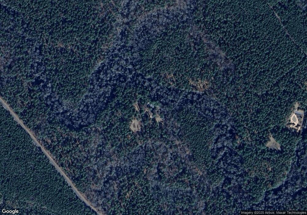
201 Four Mile Rd Browns Mills, NJ 08015
Estimated Value: $349,272 - $473,000
--
Bed
--
Bath
1,846
Sq Ft
$215/Sq Ft
Est. Value
About This Home
This home is located at 201 Four Mile Rd, Browns Mills, NJ 08015 and is currently estimated at $397,068, approximately $215 per square foot. 201 Four Mile Rd is a home.
Ownership History
Date
Name
Owned For
Owner Type
Purchase Details
Closed on
May 8, 2001
Sold by
Meinecke Henry D
Bought by
Horn George G and Horn Helen G
Current Estimated Value
Home Financials for this Owner
Home Financials are based on the most recent Mortgage that was taken out on this home.
Original Mortgage
$125,000
Outstanding Balance
$46,744
Interest Rate
7.05%
Estimated Equity
$350,324
Create a Home Valuation Report for This Property
The Home Valuation Report is an in-depth analysis detailing your home's value as well as a comparison with similar homes in the area
Home Values in the Area
Average Home Value in this Area
Purchase History
| Date | Buyer | Sale Price | Title Company |
|---|---|---|---|
| Horn George G | $170,000 | Surety Title Corporation |
Source: Public Records
Mortgage History
| Date | Status | Borrower | Loan Amount |
|---|---|---|---|
| Open | Horn George G | $125,000 |
Source: Public Records
Tax History Compared to Growth
Tax History
| Year | Tax Paid | Tax Assessment Tax Assessment Total Assessment is a certain percentage of the fair market value that is determined by local assessors to be the total taxable value of land and additions on the property. | Land | Improvement |
|---|---|---|---|---|
| 2025 | $6,657 | $217,200 | $72,300 | $144,900 |
| 2024 | $6,247 | $217,200 | $72,300 | $144,900 |
| 2023 | $6,247 | $217,200 | $72,300 | $144,900 |
| 2022 | $5,782 | $217,200 | $72,300 | $144,900 |
| 2021 | $5,146 | $217,200 | $72,300 | $144,900 |
| 2020 | $5,337 | $217,200 | $72,300 | $144,900 |
| 2019 | $5,111 | $217,200 | $72,300 | $144,900 |
| 2018 | $4,937 | $217,200 | $72,300 | $144,900 |
| 2017 | $4,835 | $217,200 | $72,300 | $144,900 |
| 2016 | $4,493 | $120,200 | $25,600 | $94,600 |
| 2015 | $4,457 | $120,200 | $25,600 | $94,600 |
| 2014 | $4,261 | $120,200 | $25,600 | $94,600 |
Source: Public Records
Map
Nearby Homes
- 3561 Weymouth Rd
- 3698 A Nashua St
- 3594 Nashua St
- 3620 Weymouth Rd
- 3610 Weymouth Rd
- 0 Pembrown Rd Unit NJBL2061932
- 3394 Liberty St
- 3399 Liberty St
- 20 Coville Dr
- 204 Scammell Dr
- 5 Pea Patch Rd
- 601 Concord Dr
- 511 Laurel Blvd
- 215 Coville Dr
- 28 Scammell Dr
- 217 Coville Dr
- 42 Monroe Ave
- 25 Railroad St
- 20 Carp Ln
- 521 Magnolia Rd
- 21 Greenwood Bridge Rd
- 193 Four Mile Rd
- 26 Greenwood Bridge Rd
- 40 Woods Rd
- 54 Greenwood Bridge Rd
- 60 Greenwood Bridge Rd
- 60 Greenwood Bridge Rd
- 24 Greenwood Bridge Rd
- 159 Four Mile Rd
- 64 Greenwood Bridge Rd
- 38 S Woods Rd
- 151 Mount Misery Rd
- 32 S Woods Rd
- 165 Mount Misery Rd
- 153 Four Mile Rd
- 32 Woods Rd
- 26 Woods Rd
- 162 Mount Misery Rd
- L:55 Rake Pond Rd
- 21 Rake Pond Rd
