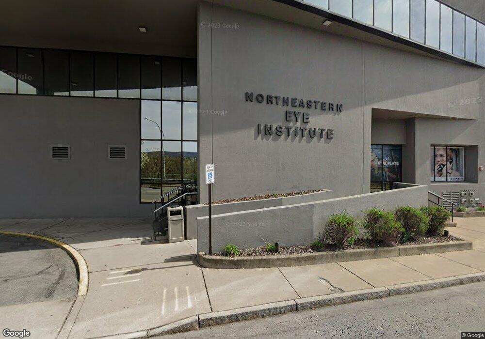
201 Franklin Ave Scranton, PA 18503
Downtown Scranton NeighborhoodEstimated Value: $875,401
Studio
3
Baths
--
Sq Ft
5,663
Sq Ft Lot
About This Home
This home is located at 201 Franklin Ave, Scranton, PA 18503 and is currently priced at $875,401. 201 Franklin Ave is a home located in Lackawanna County with nearby schools including John Adams Elementary School, Northeast Scranton Intermediate School, and Scranton High School.
Ownership History
Date
Name
Owned For
Owner Type
Purchase Details
Closed on
Oct 31, 2022
Sold by
E & T Realty Limited Partnership
Bought by
Jbas Realty Llc
Current Estimated Value
Create a Home Valuation Report for This Property
The Home Valuation Report is an in-depth analysis detailing your home's value as well as a comparison with similar homes in the area
Home Values in the Area
Average Home Value in this Area
Purchase History
| Date | Buyer | Sale Price | Title Company |
|---|---|---|---|
| Jbas Realty Llc | $875,000 | -- |
Source: Public Records
Tax History
| Year | Tax Paid | Tax Assessment Tax Assessment Total Assessment is a certain percentage of the fair market value that is determined by local assessors to be the total taxable value of land and additions on the property. | Land | Improvement |
|---|---|---|---|---|
| 2026 | $189,243 | $1,182,840 | $64,950 | $1,117,890 |
| 2025 | $38,870 | $111,135 | $33,535 | $77,600 |
| 2024 | $35,730 | $111,135 | $33,535 | $77,600 |
| 2023 | $35,730 | $111,135 | $33,535 | $77,600 |
| 2022 | $35,981 | $115,135 | $33,535 | $81,600 |
| 2021 | $35,981 | $115,135 | $33,535 | $81,600 |
| 2020 | $35,363 | $115,135 | $33,535 | $81,600 |
| 2019 | $33,326 | $115,135 | $33,535 | $81,600 |
| 2018 | $33,326 | $115,135 | $33,535 | $81,600 |
| 2017 | $32,785 | $115,135 | $33,535 | $81,600 |
| 2016 | $11,924 | $115,135 | $33,535 | $81,600 |
| 2015 | $25,142 | $115,135 | $33,535 | $81,600 |
| 2014 | -- | $115,135 | $33,535 | $81,600 |
Source: Public Records
Map
Nearby Homes
- 509 Bogart Place Unit 202
- 381 N 9th Ave
- 916 W Linden St
- 54 Merrifield Place
- 240 N Main Ave
- 622 Jefferson Ave
- 816 Capouse Ave
- 139 N Main Ave
- 818 Capouse Ave
- 517 519 Luzerne St
- 364 N Hyde Park Ave Unit & 368
- 640 Jefferson Ave
- 501-503 Cedar Ave
- 499 Meridian Ave
- 801 N Washington Ave
- 525 N Hyde Park Ave
- 853 Lords Ct
- 531 N Hyde Park Ave
- 611 Moosic St
- 131 Prospect Ave
- 203 Franklin Ave
- 233 Franklin Ave
- 134 Franklin Ave
- 201 Penn Ave
- 126 Franklin Ave
- 233 Franklin St
- 233 Penn Ave
- 120 Franklin Ave
- 118 Franklin Ave
- 115 Franklin Ave
- 234 Mifflin Ave
- 225 Penn Ave
- 200 Linden St
- 220 Penn Suite 3 Ave
- 207 Center St
- 250 Mifflin Ave
- 121 Penn Ave Unit 105
- 121 Penn Ave Unit 104
- 121 Penn Ave Unit 103
- 210 Linden St Unit 508
Your Personal Tour Guide
Ask me questions while you tour the home.