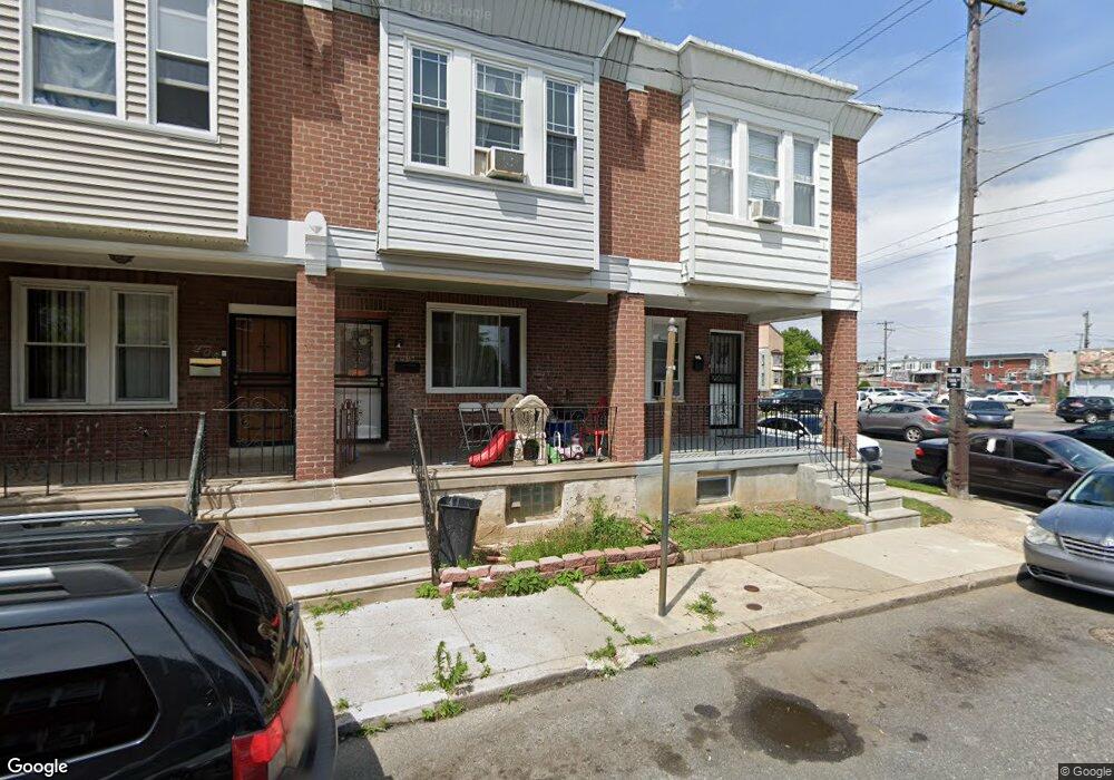
201 Furley St Philadelphia, PA 19120
Olney NeighborhoodEstimated Value: $155,000 - $201,000
3
Beds
1
Bath
1,200
Sq Ft
$148/Sq Ft
Est. Value
About This Home
This home is located at 201 Furley St, Philadelphia, PA 19120 and is currently estimated at $177,336, approximately $147 per square foot. 201 Furley St is a home located in Philadelphia County with nearby schools including James R. Lowell Elementary School, Grover Washington Middle School, and Samuel Fels High School.
Ownership History
Date
Name
Owned For
Owner Type
Purchase Details
Closed on
Oct 25, 2017
Sold by
Fernandez William
Bought by
Bell Mary
Current Estimated Value
Purchase Details
Closed on
Jul 29, 2003
Sold by
Hud
Bought by
Fernandez William
Purchase Details
Closed on
Jul 16, 2002
Sold by
Mellon Bank Na
Bought by
Hud
Purchase Details
Closed on
Apr 29, 2002
Sold by
Morrison Terrance D
Bought by
Mellon Bank Na and Pa Housing Finance Agency
Purchase Details
Closed on
Oct 31, 1996
Sold by
Sturges Julianne A
Bought by
Morrison Terrance D
Create a Home Valuation Report for This Property
The Home Valuation Report is an in-depth analysis detailing your home's value as well as a comparison with similar homes in the area
Home Values in the Area
Average Home Value in this Area
Purchase History
| Date | Buyer | Sale Price | Title Company |
|---|---|---|---|
| Bell Mary | $67,000 | Great American Abstract Llc | |
| Fernandez William | $33,511 | Carriage Title Inc | |
| Hud | -- | -- | |
| Mellon Bank Na | $12,500 | -- | |
| Morrison Terrance D | $48,900 | -- |
Source: Public Records
Tax History Compared to Growth
Tax History
| Year | Tax Paid | Tax Assessment Tax Assessment Total Assessment is a certain percentage of the fair market value that is determined by local assessors to be the total taxable value of land and additions on the property. | Land | Improvement |
|---|---|---|---|---|
| 2025 | $1,698 | $149,600 | $29,920 | $119,680 |
| 2024 | $1,698 | $149,600 | $29,920 | $119,680 |
| 2023 | $1,698 | $121,300 | $24,260 | $97,040 |
| 2022 | $1,352 | $121,300 | $24,260 | $97,040 |
| 2021 | $1,352 | $0 | $0 | $0 |
| 2020 | $1,352 | $0 | $0 | $0 |
| 2019 | $1,257 | $0 | $0 | $0 |
| 2018 | $0 | $0 | $0 | $0 |
| 2017 | $1,306 | $0 | $0 | $0 |
| 2016 | $1,306 | $0 | $0 | $0 |
| 2015 | $1,250 | $0 | $0 | $0 |
| 2014 | -- | $93,300 | $5,588 | $87,712 |
| 2012 | -- | $9,536 | $1,146 | $8,390 |
Source: Public Records
Map
Nearby Homes
- 249 W Calvert St
- 5814 N American St
- 217 Furley St
- 5832 N Mascher St
- 5835 N 3rd St
- 5901 N 3rd St
- 5905 N 3rd St
- 229 W Chew Ave
- 177 Linton St
- 266 Linton St
- 308 W Grange Ave
- 5825 N 4th St
- 5834 N Hope St
- 163 W Chew Ave
- 248 W Champlost St
- 5945 N 3rd St
- 6022 N 2nd St
- 160 Roselyn St
- 6001 N Mascher St
- 177 Roselyn St
- 203 Furley St
- 205 Furley St
- 207 Furley St
- 200 W Grange Ave
- 202 W Grange Ave
- 209 Furley St
- 206 W Grange Ave
- 204 W Grange Ave
- 211 Furley St
- 208 W Grange Ave
- 213 Furley St
- 210 W Grange Ave
- 215 Furley St
- 212 W Grange Ave
- 200 Furley St
- 202 Furley St
- 204 Furley St
- 5800 N 2nd St Unit 2ND FL
- 206 Furley St
- 214 W Grange Ave