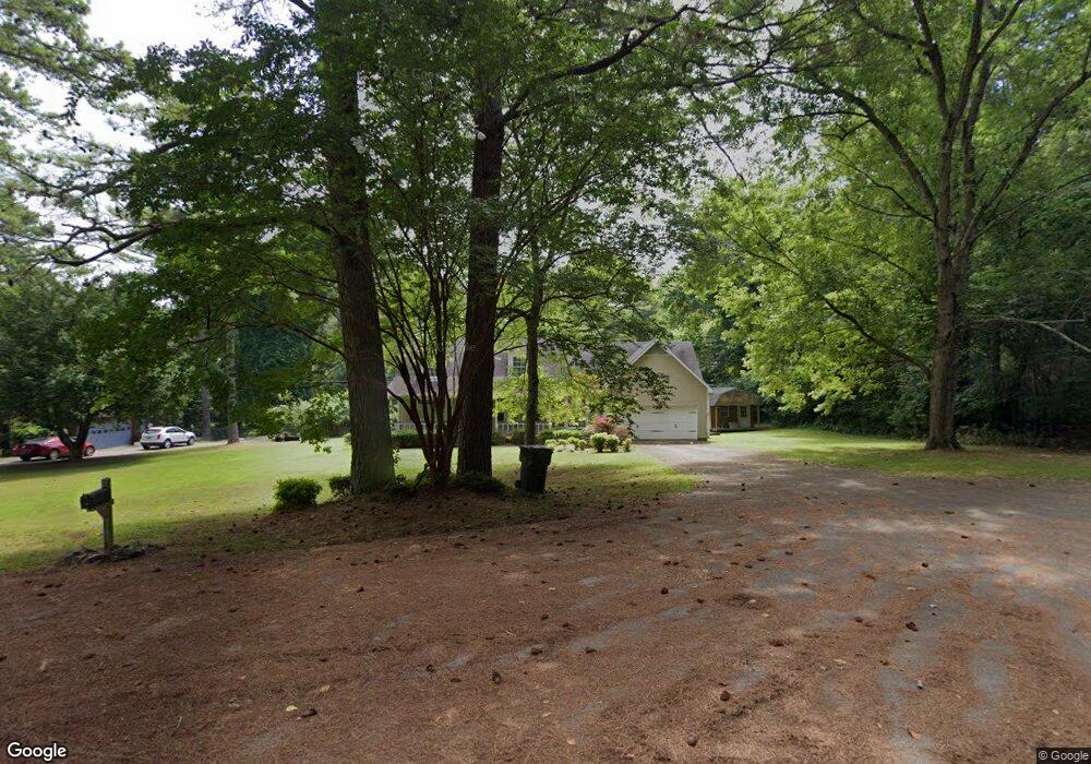
201 Gingers Ln Huntsville, AL 35811
Ryland NeighborhoodEstimated Value: $228,000 - $410,000
3
Beds
2
Baths
2,430
Sq Ft
$126/Sq Ft
Est. Value
About This Home
This home is located at 201 Gingers Ln, Huntsville, AL 35811 and is currently estimated at $307,308, approximately $126 per square foot. 201 Gingers Ln is a home located in Madison County with nearby schools including Central School and Madison County High School.
Ownership History
Date
Name
Owned For
Owner Type
Purchase Details
Closed on
Aug 2, 2024
Sold by
Bailey Joey D
Bought by
Jerry Daniel Mullinix Management Trust
Current Estimated Value
Purchase Details
Closed on
May 25, 2010
Sold by
Patton Betty Sue
Bought by
Bailey Joey D
Home Financials for this Owner
Home Financials are based on the most recent Mortgage that was taken out on this home.
Original Mortgage
$169,893
Interest Rate
4.94%
Mortgage Type
FHA
Purchase Details
Closed on
Apr 30, 2010
Sold by
Robinson Gary J and Robinson Sonia
Bought by
Bailey Joey D
Home Financials for this Owner
Home Financials are based on the most recent Mortgage that was taken out on this home.
Original Mortgage
$169,893
Interest Rate
4.94%
Mortgage Type
FHA
Purchase Details
Closed on
Apr 20, 2010
Sold by
Robinson Gary J and Simmons Sonia
Bought by
Patton Betty Sue
Home Financials for this Owner
Home Financials are based on the most recent Mortgage that was taken out on this home.
Original Mortgage
$169,893
Interest Rate
4.94%
Mortgage Type
FHA
Purchase Details
Closed on
Feb 28, 2005
Sold by
Blackwell Darrell and Blackwell Karen
Bought by
Robinson Gary J and Simmons Sonia
Home Financials for this Owner
Home Financials are based on the most recent Mortgage that was taken out on this home.
Original Mortgage
$153,000
Interest Rate
5.68%
Mortgage Type
New Conventional
Create a Home Valuation Report for This Property
The Home Valuation Report is an in-depth analysis detailing your home's value as well as a comparison with similar homes in the area
Home Values in the Area
Average Home Value in this Area
Purchase History
| Date | Buyer | Sale Price | Title Company |
|---|---|---|---|
| Jerry Daniel Mullinix Management Trust | $140,000 | None Listed On Document | |
| Bailey Joey D | -- | -- | |
| Bailey Joey D | -- | -- | |
| Patton Betty Sue | -- | -- | |
| Robinson Gary J | -- | -- |
Source: Public Records
Mortgage History
| Date | Status | Borrower | Loan Amount |
|---|---|---|---|
| Previous Owner | Bailey Joey D | $169,893 | |
| Previous Owner | Robinson Gary J | $153,000 |
Source: Public Records
Tax History Compared to Growth
Tax History
| Year | Tax Paid | Tax Assessment Tax Assessment Total Assessment is a certain percentage of the fair market value that is determined by local assessors to be the total taxable value of land and additions on the property. | Land | Improvement |
|---|---|---|---|---|
| 2024 | $1,457 | $19,600 | $1,600 | $18,000 |
| 2023 | $663 | $19,120 | $1,600 | $17,520 |
| 2022 | $574 | $17,180 | $1,600 | $15,580 |
| 2021 | $513 | $15,500 | $1,600 | $13,900 |
| 2020 | $478 | $14,540 | $1,600 | $12,940 |
| 2019 | $460 | $14,060 | $1,600 | $12,460 |
| 2018 | $429 | $13,200 | $0 | $0 |
| 2017 | $429 | $13,200 | $0 | $0 |
| 2016 | $429 | $13,200 | $0 | $0 |
| 2015 | $429 | $13,200 | $0 | $0 |
| 2014 | $425 | $13,080 | $0 | $0 |
Source: Public Records
Map
Nearby Homes
- 510 Old Gurley Rd NE
- 0 Old Gurley Rd NE Unit 24957018
- 208 Townsend Dr SE
- 3.8 Acres Townsend Dr SE
- .73 Acres Highway 72 E
- 109 Bridgestone Dr NE
- 104 Early Morning Cir
- 217 Shadowbrook Ln NE
- 1610 Calistoga Cir NE
- 1608 Calistoga Cir NE
- 1612 Calistoga Cir NE
- 1604 Calistoga Cir NE
- 1602 Calistoga Cir NE
- 1617 Calistoga Cir NE
- 1613 Calistoga Cir NE
- 137 Bridgestone Dr NE
- 143 Bridgestone Dr NE
- 2100 Kanteen St NE
- 2102 Kanteen St NE
- 2106 Kanteen St NE