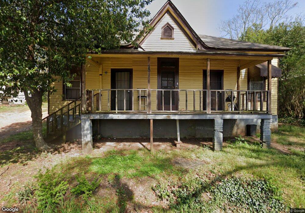
201 Gorham St Lagrange, GA 30241
Estimated Value: $73,000 - $134,000
3
Beds
1
Bath
1,660
Sq Ft
$62/Sq Ft
Est. Value
About This Home
This home is located at 201 Gorham St, Lagrange, GA 30241 and is currently estimated at $103,669, approximately $62 per square foot. 201 Gorham St is a home located in Troup County with nearby schools including Hollis Hand Elementary School, Franklin Forest Elementary School, and Ethel W. Kight Elementary School.
Ownership History
Date
Name
Owned For
Owner Type
Purchase Details
Closed on
Apr 5, 1994
Sold by
Ernest Henderson By Heirs
Bought by
Henderson Lillian
Current Estimated Value
Purchase Details
Closed on
Mar 11, 1976
Sold by
Bass Kate
Bought by
Ernest Henderson By Heirs
Purchase Details
Closed on
Jan 1, 1963
Sold by
Bass Norman
Bought by
Bass Kate
Create a Home Valuation Report for This Property
The Home Valuation Report is an in-depth analysis detailing your home's value as well as a comparison with similar homes in the area
Purchase History
| Date | Buyer | Sale Price | Title Company |
|---|---|---|---|
| Henderson Lillian | -- | -- | |
| Ernest Henderson By Heirs | -- | -- | |
| Bass Kate | -- | -- |
Source: Public Records
Tax History
| Year | Tax Paid | Tax Assessment Tax Assessment Total Assessment is a certain percentage of the fair market value that is determined by local assessors to be the total taxable value of land and additions on the property. | Land | Improvement |
|---|---|---|---|---|
| 2025 | $875 | $32,080 | $5,400 | $26,680 |
| 2024 | $789 | $28,920 | $5,400 | $23,520 |
| 2023 | $661 | $24,240 | $5,400 | $18,840 |
| 2022 | $525 | $18,800 | $5,400 | $13,400 |
| 2021 | $505 | $16,760 | $3,240 | $13,520 |
| 2020 | $506 | $16,760 | $3,240 | $13,520 |
| 2019 | $448 | $14,840 | $2,560 | $12,280 |
| 2018 | $448 | $14,840 | $2,560 | $12,280 |
| 2017 | $380 | $14,840 | $2,560 | $12,280 |
| 2016 | $470 | $15,591 | $3,600 | $11,991 |
| 2015 | $460 | $15,236 | $3,245 | $11,991 |
| 2014 | $442 | $14,604 | $3,245 | $11,360 |
| 2013 | -- | $15,596 | $3,245 | $12,352 |
Source: Public Records
Map
Nearby Homes
- 203 Gorham St
- 205 Gorham St
- 100 Fairfax St
- 106 Fannin Ct
- 101 Gorham St
- 206 Gorham St
- 108 Fannin Ct
- 104 Fannin Ct
- 307 E Mulberry St
- 305 E Mulberry St
- 102 Fannin Ct
- 108 Fannin St
- 311 E Mulberry St
- 109 Fannin Ct
- 301 E Mulberry St
- 104 Fannin St
- 102 Fannin St
- E E Mulberry St
- 305 Whitesville St
- 100 Fannin Ct
Your Personal Tour Guide
Ask me questions while you tour the home.