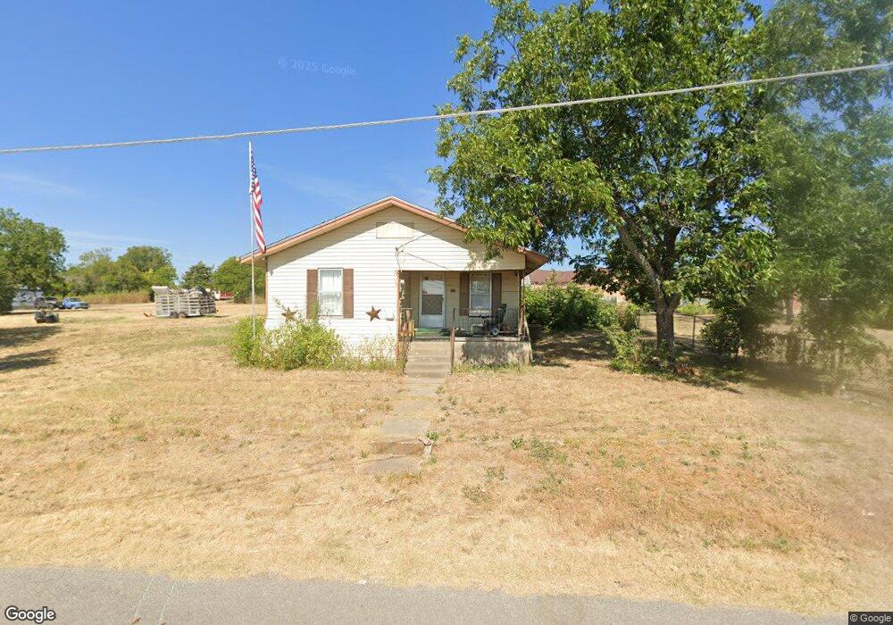
201 Grider St Bruceville, TX 76630
Estimated Value: $134,520 - $196,000
2
Beds
1
Bath
1,064
Sq Ft
$168/Sq Ft
Est. Value
About This Home
This home is located at 201 Grider St, Bruceville, TX 76630 and is currently estimated at $179,130, approximately $168 per square foot. 201 Grider St is a home located in McLennan County with nearby schools including Bruceville-Eddy Elementary School, Bruceville-Eddy Intermediate School, and Bruceville-Eddy Junior High School.
Ownership History
Date
Name
Owned For
Owner Type
Purchase Details
Closed on
Jan 13, 2025
Sold by
Ormsby Laura
Bought by
Krzywonski Dwight D
Current Estimated Value
Purchase Details
Closed on
Dec 23, 2016
Sold by
Woodard Florence
Bought by
Krzywonski Dwight
Purchase Details
Closed on
Dec 8, 2016
Sold by
Ekdahl Sylvia and Booker Shirley L
Bought by
Woodard Florence Evelyn
Create a Home Valuation Report for This Property
The Home Valuation Report is an in-depth analysis detailing your home's value as well as a comparison with similar homes in the area
Home Values in the Area
Average Home Value in this Area
Purchase History
| Date | Buyer | Sale Price | Title Company |
|---|---|---|---|
| Krzywonski Dwight D | -- | None Listed On Document | |
| Krzywonski Dwight D | -- | None Listed On Document | |
| Krzywonski Dwight | -- | None Available | |
| Woodard Florence Evelyn | -- | None Available |
Source: Public Records
Tax History Compared to Growth
Tax History
| Year | Tax Paid | Tax Assessment Tax Assessment Total Assessment is a certain percentage of the fair market value that is determined by local assessors to be the total taxable value of land and additions on the property. | Land | Improvement |
|---|---|---|---|---|
| 2025 | $1,187 | $65,330 | $23,970 | $41,360 |
| 2024 | $1,187 | $66,100 | $23,970 | $42,130 |
| 2023 | $1,260 | $69,240 | $23,970 | $45,270 |
| 2022 | $1,323 | $64,310 | $20,970 | $43,340 |
| 2021 | $1,100 | $47,740 | $18,890 | $28,850 |
| 2020 | $1,061 | $45,010 | $17,970 | $27,040 |
| 2019 | $1,124 | $45,720 | $17,050 | $28,670 |
| 2018 | $1,094 | $44,100 | $16,360 | $27,740 |
| 2017 | $1,021 | $40,870 | $15,670 | $25,200 |
| 2016 | $983 | $39,350 | $15,210 | $24,140 |
| 2015 | $162 | $37,500 | $14,750 | $22,750 |
| 2014 | $162 | $37,270 | $14,520 | $22,750 |
Source: Public Records
Map
Nearby Homes
- 222 Kennedy Ln
- 108 Brown Dr
- 110 Brown Dr
- 1001 Park Lake Dr
- 1013 Park Lake Dr
- 118 Deer Trail
- 184 Deer Bottom
- 221 Horseshoe Bend
- 0 Horseshoe Bend
- TBD Horseshoe Bend
- 1006 Eagle Dr
- 805 Lusk Creek Rd
- 209 Hungry Hill Rd
- TBD County Road 437
- 224 Melissa St
- 218 Melissa St
- 220 Melissa St
- 306 Eagle Dr
- 255 Route 7
- 316 Market St