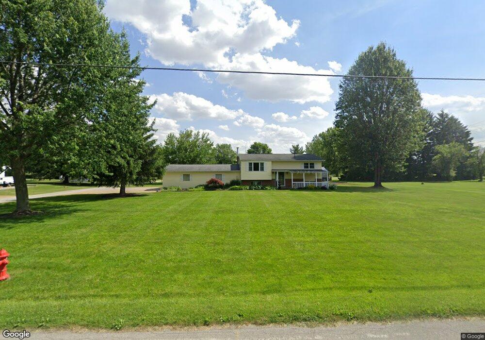
201 Grove St Nevada, OH 44849
Estimated Value: $96,000 - $359,000
2
Beds
1
Bath
912
Sq Ft
$202/Sq Ft
Est. Value
About This Home
This home is located at 201 Grove St, Nevada, OH 44849 and is currently estimated at $184,555, approximately $202 per square foot. 201 Grove St is a home located in Wyandot County with nearby schools including Wynford Elementary School and Wynford High School.
Ownership History
Date
Name
Owned For
Owner Type
Purchase Details
Closed on
Oct 29, 2009
Sold by
U S Bank Na
Bought by
Oberlander Robert C
Current Estimated Value
Home Financials for this Owner
Home Financials are based on the most recent Mortgage that was taken out on this home.
Original Mortgage
$61,644
Interest Rate
4.84%
Purchase Details
Closed on
Jul 14, 2009
Sold by
Beltz William C and Beltz William Carl
Bought by
U S Bank National Assn
Create a Home Valuation Report for This Property
The Home Valuation Report is an in-depth analysis detailing your home's value as well as a comparison with similar homes in the area
Purchase History
| Date | Buyer | Sale Price | Title Company |
|---|---|---|---|
| Oberlander Robert C | $47,500 | None Available | |
| U S Bank National Assn | $38,667 | None Available |
Source: Public Records
Mortgage History
| Date | Status | Borrower | Loan Amount |
|---|---|---|---|
| Previous Owner | Oberlander Robert C | $61,644 |
Source: Public Records
Tax History
| Year | Tax Paid | Tax Assessment Tax Assessment Total Assessment is a certain percentage of the fair market value that is determined by local assessors to be the total taxable value of land and additions on the property. | Land | Improvement |
|---|---|---|---|---|
| 2025 | $1,537 | $41,610 | $7,110 | $34,500 |
| 2024 | $1,384 | $35,260 | $5,030 | $30,230 |
| 2023 | $1,384 | $35,260 | $5,030 | $30,230 |
| 2022 | $1,555 | $35,320 | $5,030 | $30,290 |
| 2021 | $1,661 | $35,320 | $5,030 | $30,290 |
| 2020 | $1,634 | $35,320 | $5,030 | $30,290 |
| 2019 | $1,488 | $35,320 | $5,030 | $30,290 |
| 2018 | $1,500 | $35,130 | $4,520 | $30,610 |
| 2017 | $1,364 | $32,040 | $4,520 | $27,520 |
| 2016 | -- | $32,040 | $4,520 | $27,520 |
| 2015 | -- | $31,780 | $4,520 | $27,260 |
| 2014 | -- | $31,780 | $4,520 | $27,260 |
| 2013 | -- | $31,780 | $4,520 | $27,260 |
Source: Public Records
Map
Nearby Homes
- 419 N Goodbread St
- 308 N Garrett St
- 200 S Garrett St
- 11700 Township Highway 133
- 308 Lincoln Hwy
- 0 Us 30 & Sr 23
- 0 E Wyandot Ave
- 0 County Highway 121
- 212 Duck Pond Rd
- 7160 County Highway 47
- 101 Rivers Edge Ln
- 123 Rivers Edge Ln
- 0 Highway 30
- 105 Old Lincoln Hwy
- 2285 Shafer Rd
- 955 Greenbrier Rd
- 479 Front St
- 987 Greenbrier Rd
- 432 E Bigelow St
- 4873 County Highway 35
- 201 Grove St
- 117 Grove St
- 115 Grove St
- 301 Grove St
- 17 Parkview Dr
- 113 Grove St
- 19 Parkview Dr
- 111 Grove St
- 109 Grove St
- 105 Grove St
- 103 Grove St
- 1048 County Highway 182
- 539 Morrison St N
- 533 Morrison St N
- 525 Morrison St N
- 531 Morrison St N
- 519 Morrison St N
- 210 Balliet St
- 534 Morrison St N
- 530 Morrison St N
Your Personal Tour Guide
Ask me questions while you tour the home.