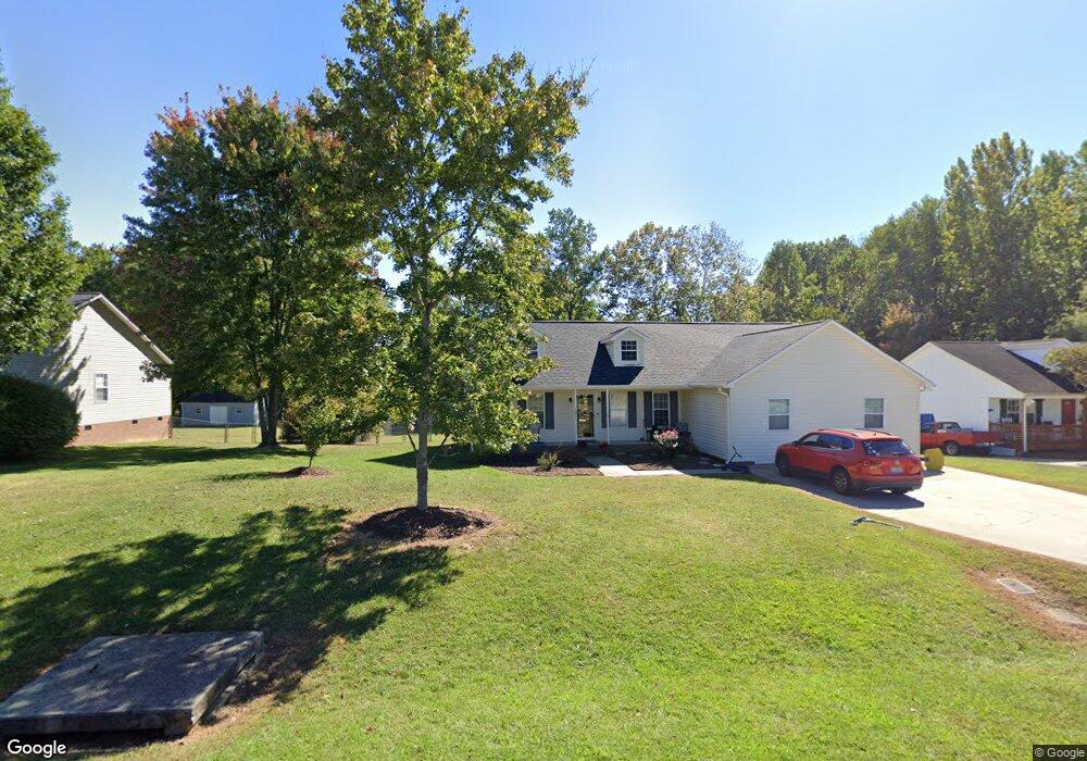
201 H E Clement Ln Thomasville, NC 27360
Estimated Value: $244,049 - $275,000
3
Beds
2
Baths
2,270
Sq Ft
$117/Sq Ft
Est. Value
About This Home
This home is located at 201 H E Clement Ln, Thomasville, NC 27360 and is currently estimated at $264,512, approximately $116 per square foot. 201 H E Clement Ln is a home located in Davidson County with nearby schools including Fair Grove Elementary School, E. Lawson Brown Middle School, and East Davidson High School.
Ownership History
Date
Name
Owned For
Owner Type
Purchase Details
Closed on
Mar 31, 2008
Sold by
Haywood James Bryan and Haywood Jamie H
Bought by
Johnson Tiffany and Johnson Rodney
Current Estimated Value
Home Financials for this Owner
Home Financials are based on the most recent Mortgage that was taken out on this home.
Original Mortgage
$102,515
Outstanding Balance
$63,950
Interest Rate
5.68%
Mortgage Type
FHA
Estimated Equity
$200,562
Purchase Details
Closed on
Jul 1, 1999
Purchase Details
Closed on
Dec 1, 1998
Create a Home Valuation Report for This Property
The Home Valuation Report is an in-depth analysis detailing your home's value as well as a comparison with similar homes in the area
Home Values in the Area
Average Home Value in this Area
Purchase History
| Date | Buyer | Sale Price | Title Company |
|---|---|---|---|
| Johnson Tiffany | $134,000 | None Available | |
| -- | $119,000 | -- | |
| -- | $35,500 | -- |
Source: Public Records
Mortgage History
| Date | Status | Borrower | Loan Amount |
|---|---|---|---|
| Open | Johnson Tiffany | $102,515 |
Source: Public Records
Tax History Compared to Growth
Tax History
| Year | Tax Paid | Tax Assessment Tax Assessment Total Assessment is a certain percentage of the fair market value that is determined by local assessors to be the total taxable value of land and additions on the property. | Land | Improvement |
|---|---|---|---|---|
| 2025 | $1,956 | $171,220 | $0 | $0 |
| 2024 | $1,651 | $144,510 | $0 | $0 |
| 2023 | $1,651 | $144,510 | $0 | $0 |
| 2022 | $1,651 | $144,510 | $0 | $0 |
| 2021 | $1,651 | $144,510 | $0 | $0 |
| 2020 | $1,322 | $117,760 | $0 | $0 |
| 2019 | $1,328 | $116,530 | $0 | $0 |
| 2018 | $1,328 | $116,530 | $0 | $0 |
| 2017 | $1,328 | $116,530 | $0 | $0 |
| 2016 | $1,282 | $116,530 | $0 | $0 |
| 2015 | $1,282 | $116,530 | $0 | $0 |
| 2014 | $1,463 | $133,010 | $0 | $0 |
Source: Public Records
Map
Nearby Homes
- 109 Fletcher's Farm Dr
- 107 Fletcher's Farm Dr
- 1111 Forest Ln
- 73 Harris Farm Ct
- 123 Brooke Ridge Dr
- 223 S Westwood Ave
- 122 S Old Fisher Ferry Rd
- 1 Westwood Ave
- 300 Willowbrook Dr
- 296 Fairgrove Rd
- 1142 Kendall Mill Rd
- 307 Fisher Ferry St
- 106 Kincemac Dr
- 0 Smith Dr
- 2501 Denton Rd
- 25 Cedar Lodge Rd
- 283 Reid Rd
- 1107 Harvest Dr
- 1125 Hillcrest Dr
- 708 Ferndale Dr
- 203 H E Clement Ln
- 100 H E Clement Ln
- 203 H E Clement Ln
- 102 E Clement Ln
- 102 H E Clement Ln
- 200 H E Clement Ln
- 205 H E Clement Ln
- 101 H E Clement Ln
- 101 H E Clement Ln
- 202 H E Clement Ln
- 103 H E Clement Ln
- 104 H E Clement Ln
- 204 H E Clement Ln
- 201 John Mills Ln
- 203 John Mills Ln
- 105 H E Clement Ln
- 100 John Mills Ln
- 106 H E Clement Ln
- 102 John Mills Ln
- 205 John Mills Ln