201 Hastings Point Dr Columbia, SC 29203
Far North Columbia NeighborhoodEstimated Value: $267,000 - $425,000
3
Beds
3
Baths
2,513
Sq Ft
$131/Sq Ft
Est. Value
About This Home
This home is located at 201 Hastings Point Dr, Columbia, SC 29203 and is currently estimated at $330,000, approximately $131 per square foot. 201 Hastings Point Dr is a home located in Richland County with nearby schools including Forest Heights Elementary School, Alcorn Middle School, and Eau Claire High School.
Ownership History
Date
Name
Owned For
Owner Type
Purchase Details
Closed on
Oct 20, 2022
Sold by
Sccb Financial Corp
Bought by
Richland County
Current Estimated Value
Purchase Details
Closed on
Sep 16, 2002
Sold by
Hastings Point Development
Bought by
Adams George N and Adams Monica T
Home Financials for this Owner
Home Financials are based on the most recent Mortgage that was taken out on this home.
Original Mortgage
$32,400
Interest Rate
6.3%
Create a Home Valuation Report for This Property
The Home Valuation Report is an in-depth analysis detailing your home's value as well as a comparison with similar homes in the area
Home Values in the Area
Average Home Value in this Area
Purchase History
| Date | Buyer | Sale Price | Title Company |
|---|---|---|---|
| Richland County | -- | -- | |
| Adams George N | $36,000 | -- |
Source: Public Records
Mortgage History
| Date | Status | Borrower | Loan Amount |
|---|---|---|---|
| Previous Owner | Adams George N | $32,400 |
Source: Public Records
Tax History Compared to Growth
Tax History
| Year | Tax Paid | Tax Assessment Tax Assessment Total Assessment is a certain percentage of the fair market value that is determined by local assessors to be the total taxable value of land and additions on the property. | Land | Improvement |
|---|---|---|---|---|
| 2023 | $2,107 | $0 | $0 | $0 |
| 2021 | $1,931 | $9,490 | $0 | $0 |
| 2020 | $1,966 | $9,490 | $0 | $0 |
| 2019 | $1,952 | $9,490 | $0 | $0 |
| 2018 | $1,938 | $9,390 | $0 | $0 |
| 2017 | $1,890 | $9,390 | $0 | $0 |
| 2016 | $1,882 | $9,390 | $0 | $0 |
| 2015 | $1,825 | $9,390 | $0 | $0 |
| 2014 | $1,764 | $234,700 | $0 | $0 |
| 2013 | -- | $9,390 | $0 | $0 |
Source: Public Records
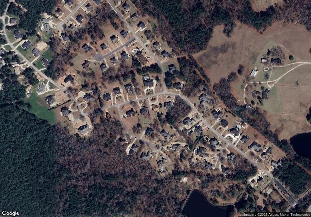
Map
Nearby Homes
- 119 Hastings Point Dr
- 116 Hastings Point Dr
- 132 Wessinger Ln
- 109 Durango Ave
- 821 Aaron Dr
- 0 Highland Forest N Unit 607476
- 156 Lake Elizabeth Dr
- 523 Torwood Dr
- 1519 Hard Scrabble Rd
- 204 Twin Eagles Dr
- 709 Meadowlake Dr
- 209 Meadowbury Dr
- 1 Addy Ct
- 404 Meadowlake Dr
- 253 Blue Valley Ct
- 242 Blue Valley Ct
- 247 Blue Valley Ct
- CAMERON Plan at Grand Oaks
- HARRISON Plan at Grand Oaks
- ROBIE Plan at Grand Oaks
- 203 Hastings Point Dr
- 7 Marrob Ct
- 121 Hastings Point Dr
- 200 Hastings Point Dr
- 1 Marrob Ct
- 9 Marrob Ct
- 122 Hastings Point Dr
- 202 Hastings Point Dr
- 117 Hastings Point Dr
- 204 Hastings Point Dr
- 27 E Killian Ct
- 11 Marrob Ct
- 120 Hastings Point Dr
- 10 Marrob Ct
- 6 Marrob Ct
- 417 Garvey Cir
- 2 Marrob Ct
- 115 Hastings Point Dr
- 206 Hastings Point Dr
- 8 Marrob Ct