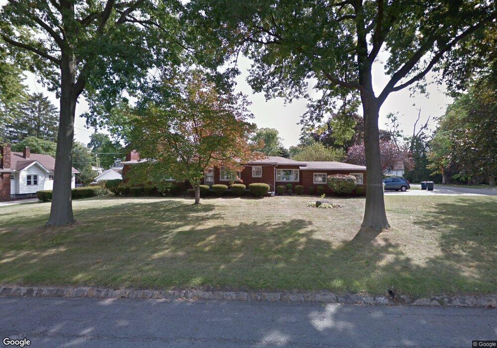
201 Hawk Ave Akron, OH 44312
Ellet NeighborhoodEstimated Value: $183,000 - $200,000
2
Beds
1
Bath
1,918
Sq Ft
$100/Sq Ft
Est. Value
About This Home
This home is located at 201 Hawk Ave, Akron, OH 44312 and is currently estimated at $191,759, approximately $99 per square foot. 201 Hawk Ave is a home located in Summit County with nearby schools including Ellet High School, Summit Academy Akron Elementary School, and Akron Preparatory school.
Ownership History
Date
Name
Owned For
Owner Type
Purchase Details
Closed on
Oct 7, 2021
Sold by
Wilson Scott T
Bought by
Wilson John Charles
Current Estimated Value
Home Financials for this Owner
Home Financials are based on the most recent Mortgage that was taken out on this home.
Original Mortgage
$84,000
Outstanding Balance
$76,600
Interest Rate
2.8%
Mortgage Type
New Conventional
Estimated Equity
$115,159
Purchase Details
Closed on
Mar 18, 2019
Sold by
Wilson John A
Bought by
Wilson Scott T
Purchase Details
Closed on
Sep 22, 2008
Sold by
Wilson John A
Bought by
Wilson John A
Create a Home Valuation Report for This Property
The Home Valuation Report is an in-depth analysis detailing your home's value as well as a comparison with similar homes in the area
Home Values in the Area
Average Home Value in this Area
Purchase History
| Date | Buyer | Sale Price | Title Company |
|---|---|---|---|
| Wilson John Charles | $124,000 | None Available | |
| Wilson Scott T | -- | None Available | |
| Wilson John A | -- | Attorney |
Source: Public Records
Mortgage History
| Date | Status | Borrower | Loan Amount |
|---|---|---|---|
| Open | Wilson John Charles | $84,000 |
Source: Public Records
Tax History
| Year | Tax Paid | Tax Assessment Tax Assessment Total Assessment is a certain percentage of the fair market value that is determined by local assessors to be the total taxable value of land and additions on the property. | Land | Improvement |
|---|---|---|---|---|
| 2024 | $3,224 | $61,181 | $10,014 | $51,167 |
| 2023 | $3,224 | $61,181 | $10,014 | $51,167 |
| 2022 | $3,110 | $46,351 | $7,588 | $38,763 |
| 2021 | $3,196 | $46,351 | $7,588 | $38,763 |
| 2020 | $3,149 | $46,350 | $7,590 | $38,760 |
| 2019 | $2,317 | $40,440 | $6,900 | $33,540 |
| 2018 | $2,286 | $40,440 | $6,900 | $33,540 |
| 2017 | $2,025 | $40,440 | $6,900 | $33,540 |
| 2016 | $2,027 | $36,240 | $6,900 | $29,340 |
| 2015 | $2,025 | $36,240 | $6,900 | $29,340 |
| 2014 | $2,009 | $36,240 | $6,900 | $29,340 |
| 2013 | $2,192 | $39,500 | $6,900 | $32,600 |
Source: Public Records
Map
Nearby Homes
- 228 Hawk Ave
- 187 Highpoint Ave
- 2331 E Market St
- 147 Woolf Ave
- 37 Ansel Ave
- 26 Ansel Ave
- 114 Davenport Ave
- 2382 Mogadore Rd
- 2269 Emerald Dr
- 110 Eastholm Ave
- 2541 Edgebrook Ave
- 210 Davenport Ave
- 2258 Mogadore Rd
- 260 Prairie Dr
- 20 Verdun Dr
- 2616 Terrace Ave
- 111 Akers Ave
- 404 Wirth Ave
- 2199 Kelty Ct Unit 29
- 2514 Primewood Rd
Your Personal Tour Guide
Ask me questions while you tour the home.