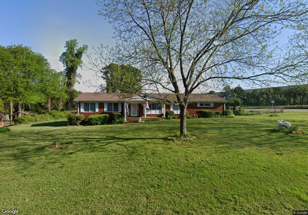
201 Hawthorne Dr Simpsonville, SC 29680
Estimated Value: $235,000 - $279,000
3
Beds
2
Baths
1,682
Sq Ft
$150/Sq Ft
Est. Value
About This Home
This home is located at 201 Hawthorne Dr, Simpsonville, SC 29680 and is currently estimated at $253,018, approximately $150 per square foot. 201 Hawthorne Dr is a home located in Greenville County with nearby schools including Greenbrier Elementary School, Hillcrest Middle School, and Mauldin High School.
Ownership History
Date
Name
Owned For
Owner Type
Purchase Details
Closed on
Jan 4, 2011
Sold by
Smith W Raymond and Smith Curtis L
Bought by
Kellett Robert Thomas and Kellett Anne
Current Estimated Value
Home Financials for this Owner
Home Financials are based on the most recent Mortgage that was taken out on this home.
Original Mortgage
$144,000
Interest Rate
4.42%
Mortgage Type
Future Advance Clause Open End Mortgage
Purchase Details
Closed on
Aug 10, 2006
Sold by
Smith Helen L
Bought by
Smith Tommy L and Raymond Smith W
Create a Home Valuation Report for This Property
The Home Valuation Report is an in-depth analysis detailing your home's value as well as a comparison with similar homes in the area
Home Values in the Area
Average Home Value in this Area
Purchase History
| Date | Buyer | Sale Price | Title Company |
|---|---|---|---|
| Kellett Robert Thomas | $90,000 | -- | |
| Smith Tommy L | -- | None Available |
Source: Public Records
Mortgage History
| Date | Status | Borrower | Loan Amount |
|---|---|---|---|
| Closed | Kellett Robert Thomas | $144,000 |
Source: Public Records
Tax History Compared to Growth
Tax History
| Year | Tax Paid | Tax Assessment Tax Assessment Total Assessment is a certain percentage of the fair market value that is determined by local assessors to be the total taxable value of land and additions on the property. | Land | Improvement |
|---|---|---|---|---|
| 2024 | $1,900 | $6,100 | $760 | $5,340 |
| 2023 | $1,900 | $6,100 | $760 | $5,340 |
| 2022 | $1,803 | $6,100 | $760 | $5,340 |
| 2021 | $1,776 | $6,100 | $760 | $5,340 |
| 2020 | $1,639 | $5,300 | $660 | $4,640 |
| 2019 | $1,609 | $5,300 | $660 | $4,640 |
| 2018 | $1,643 | $5,300 | $660 | $4,640 |
| 2017 | $1,618 | $5,300 | $660 | $4,640 |
| 2016 | $1,561 | $88,440 | $11,040 | $77,400 |
| 2015 | $1,563 | $88,440 | $11,040 | $77,400 |
| 2014 | $1,577 | $90,130 | $15,000 | $75,130 |
Source: Public Records
Map
Nearby Homes
- 219 Greenbriar Dr
- 19 Barrier Way
- 415 Wynstone Place
- 210 Brooks Rd
- 114 Pewter Cir
- 338 Pewter Cir
- 511 Wynstone Place
- 612 Marwood Ct
- 315 Pewter Cir
- 1307 NE Main St
- 101 Lawnfield St
- 100 Decatur Ave
- 724 Elmbrook
- 712 Brooks Rd
- 102 Decatur Ave Unit 3
- 180 Shady Grove Dr
- 7 Cedarcrest Ct
- 115 Baldwin Cir
- 57 Bay Springs Dr
- 2 Bay Springs Dr Unit 1E
- 203 Hawthorne Dr
- 140 Neely Ferry Rd
- 205 Hawthorne Dr
- 204 Hawthorne Dr
- 207 Hawthorne Dr
- 206 Hawthorne Dr
- 208 Hawthorne Dr
- 209 Hawthorne Dr
- 102 Greenbriar Dr
- 210 Hawthorne Dr
- 104 Greenbriar Dr
- 134 New Neely Ferry Rd
- 110 Greenbriar Dr
- 211 Hawthorne Dr
- 103 Greenbriar Dr
- 000 Neely Ferry Rd
- 212 Hawthorne Dr
- 105 Greenbriar Dr
- 112 Greenbriar Dr
- 202 Hawthorne Dr