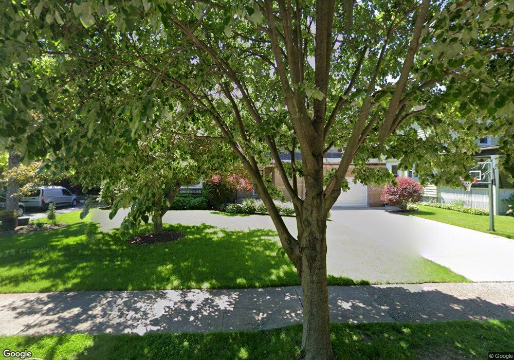
201 Herrick Rd Riverside, IL 60546
Estimated Value: $617,653 - $748,000
5
Beds
3
Baths
2,762
Sq Ft
$245/Sq Ft
Est. Value
About This Home
This home is located at 201 Herrick Rd, Riverside, IL 60546 and is currently estimated at $675,913, approximately $244 per square foot. 201 Herrick Rd is a home located in Cook County with nearby schools including Central Elementary School, L J Hauser Jr High School, and Riverside Brookfield High School.
Ownership History
Date
Name
Owned For
Owner Type
Purchase Details
Closed on
Sep 6, 2022
Sold by
Paul Dwyer Living Trust and Linda Dwyer Living Trust
Bought by
Skoirchet Kaitlyn J and Skoirchet Alexander D
Current Estimated Value
Home Financials for this Owner
Home Financials are based on the most recent Mortgage that was taken out on this home.
Original Mortgage
$569,905
Interest Rate
5.63%
Mortgage Type
New Conventional
Purchase Details
Closed on
Jun 7, 2013
Sold by
Dwyer Paul L and Dwyer Linda A
Bought by
Dwyer Paul and Paul Dwyer Living Trust
Create a Home Valuation Report for This Property
The Home Valuation Report is an in-depth analysis detailing your home's value as well as a comparison with similar homes in the area
Home Values in the Area
Average Home Value in this Area
Purchase History
| Date | Buyer | Sale Price | Title Company |
|---|---|---|---|
| Skoirchet Kaitlyn J | $600,000 | None Listed On Document | |
| Dwyer Paul | -- | None Available |
Source: Public Records
Mortgage History
| Date | Status | Borrower | Loan Amount |
|---|---|---|---|
| Previous Owner | Skoirchet Kaitlyn J | $569,905 |
Source: Public Records
Tax History
| Year | Tax Paid | Tax Assessment Tax Assessment Total Assessment is a certain percentage of the fair market value that is determined by local assessors to be the total taxable value of land and additions on the property. | Land | Improvement |
|---|---|---|---|---|
| 2025 | $12,455 | $38,933 | $8,500 | $30,433 |
| 2024 | $12,455 | $38,933 | $8,500 | $30,433 |
| 2023 | $12,797 | $38,933 | $8,500 | $30,433 |
| 2022 | $12,797 | $35,806 | $7,438 | $28,368 |
| 2021 | $12,725 | $36,907 | $7,437 | $29,470 |
| 2020 | $12,366 | $36,907 | $7,437 | $29,470 |
| 2019 | $11,216 | $34,269 | $6,800 | $27,469 |
| 2018 | $10,886 | $34,269 | $6,800 | $27,469 |
| 2017 | $10,547 | $34,269 | $6,800 | $27,469 |
| 2016 | $10,616 | $31,894 | $5,950 | $25,944 |
| 2015 | $10,343 | $31,894 | $5,950 | $25,944 |
| 2014 | $10,179 | $31,894 | $5,950 | $25,944 |
| 2013 | $9,968 | $33,791 | $5,950 | $27,841 |
Source: Public Records
Map
Nearby Homes
- 193 Herrick Rd
- 144 E Quincy St
- 108 E Burlington St Unit B
- 269 Shenstone Rd
- 82 Lawton Rd
- 10 E Burlington St Unit 2C
- 10 E Burlington St Unit 3B
- 10 E Burlington St Unit 2B
- 369 Addison Rd
- 176 Riverside Rd
- 284 Blackhawk Rd
- 280 Blackhawk Rd
- 256 Blackhawk Rd
- 231 Bartram Rd
- 78 Pine Ave
- 349 Blackhawk Rd
- 283 Bartram Rd
- 475 Shenstone Rd Unit 104
- 475 Shenstone Rd Unit 304
- 475 Shenstone Rd Unit 303
- 201 Herrick Rd
- 205 Herrick Rd
- 160 E Burlington St
- 156 E Burlington St
- 189 Herrick Rd
- 213 Herrick Rd
- 164 E Burlington St
- 152 E Burlington St
- 168 E Burlington St
- 148 E Burlington St
- 185 Herrick Rd
- 217 Herrick Rd
- 172 E Burlington St
- 144 E Burlington St
- 198 Herrick Rd
- 198 Herrick Rd
- 181 Herrick Rd
- 221 Herrick Rd
- 176 E Burlington St
- 161 E Burlington St
Your Personal Tour Guide
Ask me questions while you tour the home.