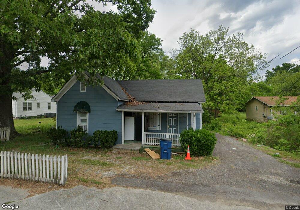
201 James St Rossville, GA 30741
Estimated Value: $148,228 - $200,000
3
Beds
1
Bath
1,120
Sq Ft
$155/Sq Ft
Est. Value
About This Home
This home is located at 201 James St, Rossville, GA 30741 and is currently estimated at $173,057, approximately $154 per square foot. 201 James St is a home located in Walker County with nearby schools including Rossville Elementary School, Rossville Middle School, and Ridgeland High School.
Ownership History
Date
Name
Owned For
Owner Type
Purchase Details
Closed on
Mar 18, 2021
Sold by
Ratcliff Elaine Estate
Bought by
Krawcewicz Leszek
Current Estimated Value
Purchase Details
Closed on
Feb 12, 1999
Sold by
Ratcliff Elaine
Bought by
Ratcliff David O and Ratcliff Elaine
Purchase Details
Closed on
Jun 24, 1996
Sold by
Cooper Rickey and Cooper Ratcliff E
Bought by
Ratcliff Elaine
Purchase Details
Closed on
Jul 16, 1987
Sold by
Cooper David and Cooper Rickey
Bought by
Cooper Rickey and Cooper Ratcliff E
Purchase Details
Closed on
Nov 19, 1986
Sold by
Haddeen Mrs and Haddeen Louise C
Bought by
Cooper David and Cooper Rickey
Purchase Details
Closed on
Jan 1, 1972
Bought by
Haddeen Mrs and Haddeen Louise C
Create a Home Valuation Report for This Property
The Home Valuation Report is an in-depth analysis detailing your home's value as well as a comparison with similar homes in the area
Home Values in the Area
Average Home Value in this Area
Purchase History
| Date | Buyer | Sale Price | Title Company |
|---|---|---|---|
| Krawcewicz Leszek | $30,000 | -- | |
| Ratcliff David O | -- | -- | |
| Ratcliff Elaine | -- | -- | |
| Cooper Rickey | -- | -- | |
| Cooper David | -- | -- | |
| Haddeen Mrs | -- | -- |
Source: Public Records
Tax History Compared to Growth
Tax History
| Year | Tax Paid | Tax Assessment Tax Assessment Total Assessment is a certain percentage of the fair market value that is determined by local assessors to be the total taxable value of land and additions on the property. | Land | Improvement |
|---|---|---|---|---|
| 2024 | $1,715 | $52,524 | $3,619 | $48,905 |
| 2023 | $1,650 | $49,968 | $3,619 | $46,349 |
| 2022 | $316 | $43,067 | $3,619 | $39,448 |
| 2021 | $780 | $26,572 | $3,551 | $23,021 |
| 2020 | $240 | $21,933 | $3,551 | $18,382 |
| 2019 | $914 | $21,933 | $3,551 | $18,382 |
| 2018 | $77 | $21,933 | $3,551 | $18,382 |
| 2017 | $653 | $21,933 | $3,551 | $18,382 |
| 2016 | $832 | $21,933 | $3,551 | $18,382 |
| 2015 | $413 | $21,894 | $3,500 | $18,394 |
| 2014 | $392 | $21,894 | $3,500 | $18,394 |
| 2013 | -- | $21,894 | $3,500 | $18,394 |
Source: Public Records
Map
Nearby Homes
- 126 S Liner St
- 1204 Logan Ave
- 1100 Logan Ave
- 105 Elm St
- 1014 Lee Ave
- 816 Indian Ave
- 4 Carroll Ln
- 916 Logan Ave
- 200 W Oak St
- 98 Stegall St
- 136 Summit St
- Lot 81 Battle Bluff Dr
- 703 Julian St
- 806 Mcfarland Ave
- 164 S Mission Ridge Dr
- 1 Fox Chase St
- 702 Short St
- 3 Fox Chase St
- 115 Beech St
- 715 W James St