201 Joe Brown Rd Newnan, GA 30263
Estimated Value: $344,000 - $386,416
3
Beds
2
Baths
1,508
Sq Ft
$244/Sq Ft
Est. Value
About This Home
This home is located at 201 Joe Brown Rd, Newnan, GA 30263 and is currently estimated at $367,854, approximately $243 per square foot. 201 Joe Brown Rd is a home located in Coweta County with nearby schools including Atkinson Elementary School, Smokey Road Middle School, and Newnan High School.
Ownership History
Date
Name
Owned For
Owner Type
Purchase Details
Closed on
Nov 1, 2022
Sold by
Rischak John T
Bought by
Rischak John T and Rischak Marilyn N
Current Estimated Value
Purchase Details
Closed on
Nov 14, 2005
Sold by
Sundance Homes Inc
Bought by
Rischak John T and Rischak Marilyn
Purchase Details
Closed on
Jul 15, 2002
Sold by
Dent Alan P
Bought by
Sundance Homes Inc
Purchase Details
Closed on
Feb 16, 1993
Bought by
Dent Alan P
Create a Home Valuation Report for This Property
The Home Valuation Report is an in-depth analysis detailing your home's value as well as a comparison with similar homes in the area
Home Values in the Area
Average Home Value in this Area
Purchase History
| Date | Buyer | Sale Price | Title Company |
|---|---|---|---|
| Rischak John T | -- | -- | |
| Rischak John T | $160,000 | -- | |
| Sundance Homes Inc | $364,700 | -- | |
| Dent Alan P | -- | -- |
Source: Public Records
Tax History Compared to Growth
Tax History
| Year | Tax Paid | Tax Assessment Tax Assessment Total Assessment is a certain percentage of the fair market value that is determined by local assessors to be the total taxable value of land and additions on the property. | Land | Improvement |
|---|---|---|---|---|
| 2025 | $1,913 | $123,365 | $43,494 | $79,870 |
| 2024 | $1,815 | $121,271 | $43,494 | $77,777 |
| 2023 | $1,815 | $116,711 | $46,003 | $70,708 |
| 2022 | $1,436 | $100,651 | $41,821 | $58,830 |
| 2021 | $1,255 | $90,113 | $39,830 | $50,283 |
| 2020 | $1,957 | $92,432 | $39,830 | $52,602 |
| 2019 | $1,619 | $60,131 | $27,892 | $32,239 |
| 2018 | $1,623 | $60,131 | $27,892 | $32,239 |
| 2017 | $1,622 | $60,131 | $27,891 | $32,240 |
| 2016 | $1,605 | $60,131 | $27,892 | $32,239 |
| 2015 | $1,581 | $60,131 | $27,892 | $32,239 |
| 2014 | $1,710 | $60,131 | $27,892 | $32,239 |
Source: Public Records
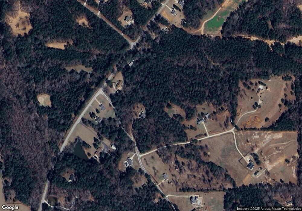
Map
Nearby Homes
- 175 Joe Brown Rd
- 164 I Walker Brooks Rd
- 975 Blalock Lakes Dr
- 407 Earl North Rd
- 3986 Corinth Rd
- 598 Beavers Rd
- 196 Beavers Rd
- 715 Earl North Rd
- 831 Holbrook Rd
- 2117 W Grantville Rd
- 2403 W Grantville Rd
- 1967 Corinth Rd
- 61.990 AC Mike Powers Rd
- 2086 Bethlehem Church Rd
- 1109 Old Corinth Rd
- 107 Trisha Ln
- 0 Trisha Ln Unit 10541742
- 0 Old Smokey Rd
- 296 Beavers Rd
- 0 George Arnold Rd Unit 7657652
- 98 Blalock Rd
- 2482 Old Corinth Rd
- 2508 Old Corinth Rd
- 2518 Old Corinth Rd
- 2452 Old Corinth Rd
- 2542 Old Corinth Rd
- 2430 Old Corinth Rd
- 143 Joe Brown Rd
- 0 Old Corinth and Holbrook Rd Unit 7489667
- 2420 Old Corinth Rd
- 128 Joe Brown Rd
- 190 Joe Brown Rd
- 2400 Old Corinth Rd
- 2600 Old Corinth Rd Unit 1
- 1878 Holbrook Rd
- 127 Joe Brown Rd
- 2380 Old Corinth Rd
- 97 Blalock Rd
- 2630 Old Corinth Rd
- 85 Joe Brown Rd