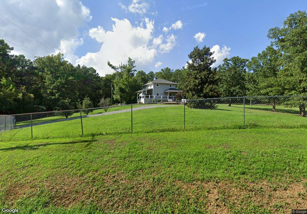
201 Katie Ln Chatsworth, GA 30705
Estimated Value: $257,000 - $326,000
--
Bed
3
Baths
1,930
Sq Ft
$153/Sq Ft
Est. Value
About This Home
This home is located at 201 Katie Ln, Chatsworth, GA 30705 and is currently estimated at $294,580, approximately $152 per square foot. 201 Katie Ln is a home located in Murray County with nearby schools including Coker Elementary School, Gladden Middle School, and Murray County High School.
Ownership History
Date
Name
Owned For
Owner Type
Purchase Details
Closed on
Oct 16, 2007
Sold by
Welch David A
Bought by
Welch Dacid and Welch Paula
Current Estimated Value
Home Financials for this Owner
Home Financials are based on the most recent Mortgage that was taken out on this home.
Original Mortgage
$134,100
Outstanding Balance
$83,977
Interest Rate
6.27%
Mortgage Type
New Conventional
Estimated Equity
$210,603
Purchase Details
Closed on
Apr 10, 2001
Sold by
Welch David A
Bought by
Welch David A and Welch Pamela M
Purchase Details
Closed on
Jun 30, 1991
Bought by
Welch David A
Create a Home Valuation Report for This Property
The Home Valuation Report is an in-depth analysis detailing your home's value as well as a comparison with similar homes in the area
Home Values in the Area
Average Home Value in this Area
Purchase History
| Date | Buyer | Sale Price | Title Company |
|---|---|---|---|
| Welch Dacid | -- | -- | |
| Welch David A | -- | -- | |
| Welch David A | -- | -- |
Source: Public Records
Mortgage History
| Date | Status | Borrower | Loan Amount |
|---|---|---|---|
| Open | Welch Dacid | $134,100 |
Source: Public Records
Tax History Compared to Growth
Tax History
| Year | Tax Paid | Tax Assessment Tax Assessment Total Assessment is a certain percentage of the fair market value that is determined by local assessors to be the total taxable value of land and additions on the property. | Land | Improvement |
|---|---|---|---|---|
| 2024 | $808 | $83,760 | $9,720 | $74,040 |
| 2023 | $805 | $83,152 | $6,480 | $76,672 |
| 2022 | $805 | $71,672 | $6,160 | $65,512 |
| 2021 | $825 | $55,792 | $4,360 | $51,432 |
| 2020 | $825 | $47,512 | $4,120 | $43,392 |
| 2019 | $828 | $47,512 | $4,120 | $43,392 |
| 2018 | $828 | $47,512 | $4,120 | $43,392 |
| 2017 | $0 | $41,712 | $4,120 | $37,592 |
| 2016 | $746 | $39,324 | $9,920 | $29,404 |
| 2015 | -- | $39,324 | $9,920 | $29,404 |
| 2014 | -- | $39,324 | $9,920 | $29,404 |
| 2013 | -- | $39,324 | $9,920 | $29,404 |
Source: Public Records
Map
Nearby Homes
- 132 Katie Ln
- 357 Katie Ln
- 0 Wilson Rd Unit 25369335
- 53 South Way
- DUPONT Plan at Urban's Place
- BEAUMONT Plan at Urban's Place
- AUBURN Plan at Urban's Place
- CABOT Plan at Urban's Place
- 243 Acres Wilson Rd
- 243 Wilson Rd
- 100 Hennon Way
- 108 Hennon Way
- 628 Torino Dr
- 0 Torino Dr Unit 131322
- 1379 Highway 225 S
- 0 Chevelle Dr Unit 131116
- 23 Brandon Ln
- Tract 4 B-2 Conniston Rd
- 168 Charger Dr
- 0 Carters Overlook Dr Unit 10531508
- 00 Katie Ln
- 1321 Katie Ln
- 129 Katie Ln
- 235 Katie Ln
- 298 Katie Ln
- 265 Katie Ln
- 528 Spring Place Smyrna Rd Unit 300
- 528 Spring Place Smyrna Rd Unit 300
- 528 Spring Place Smyrna Rd
- 363 Katie Ln
- 770 Spring Place Smyrna Rd
- 400 Katie Ln
- 490 Spring Place Smyrna Rd
- 571 Spring Place Smyrna Rd
- 1777 Sitton Rd S
- 1804 Sitton Rd S
- 1768 Sitton Rd S
- 603 Spring Place Smyrna Rd
- 361 Katie Ln
- 856 Spring Place Smyrna Rd