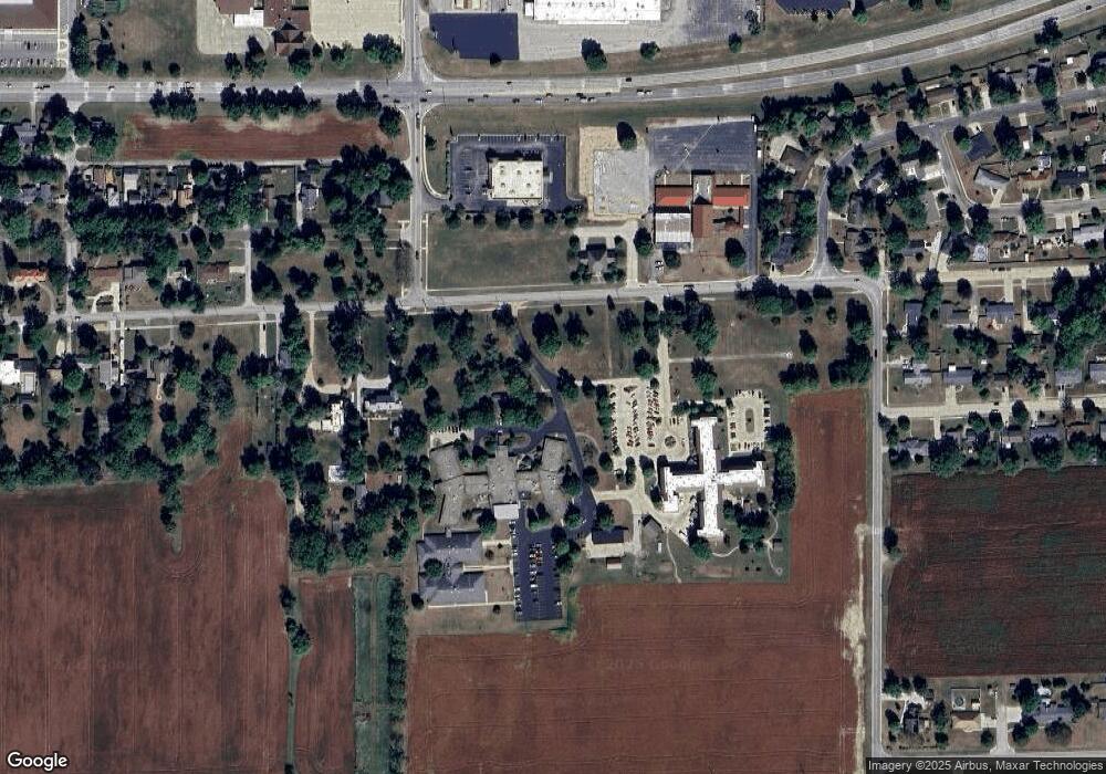
201 Lafayette Ave Mattoon, IL 61938
Estimated Value: $297,000 - $609,766
3
Beds
2
Baths
2,568
Sq Ft
$175/Sq Ft
Est. Value
About This Home
This home is located at 201 Lafayette Ave, Mattoon, IL 61938 and is currently estimated at $449,255, approximately $174 per square foot. 201 Lafayette Ave is a home located in Coles County with nearby schools including Mattoon High School, St. John's Lutheran School, and St Mary School.
Ownership History
Date
Name
Owned For
Owner Type
Purchase Details
Closed on
May 8, 2020
Sold by
Ptomey Micahel D and Estate Of Gary Lee Ptomey
Bought by
Ptomey Michael D
Current Estimated Value
Purchase Details
Closed on
Jun 17, 2014
Sold by
Petrovich Stanley and Petrovich Vivian H
Bought by
Moore Debra Lynn and Kamnick Beverly
Create a Home Valuation Report for This Property
The Home Valuation Report is an in-depth analysis detailing your home's value as well as a comparison with similar homes in the area
Home Values in the Area
Average Home Value in this Area
Purchase History
| Date | Buyer | Sale Price | Title Company |
|---|---|---|---|
| Ptomey Michael D | $108,100 | None Available | |
| Moore Debra Lynn | -- | -- |
Source: Public Records
Tax History Compared to Growth
Tax History
| Year | Tax Paid | Tax Assessment Tax Assessment Total Assessment is a certain percentage of the fair market value that is determined by local assessors to be the total taxable value of land and additions on the property. | Land | Improvement |
|---|---|---|---|---|
| 2024 | $13,102 | $157,981 | $35,912 | $122,069 |
| 2023 | $12,145 | $142,325 | $32,353 | $109,972 |
| 2022 | $12,352 | $139,973 | $31,818 | $108,155 |
| 2021 | $3,118 | $32,401 | $31,403 | $998 |
| 2020 | $5,622 | $61,159 | $32,537 | $28,622 |
| 2019 | $4,964 | $59,028 | $31,403 | $27,625 |
| 2018 | $4,876 | $59,028 | $31,403 | $27,625 |
| 2017 | $4,867 | $59,028 | $31,403 | $27,625 |
| 2016 | $4,760 | $59,028 | $31,403 | $27,625 |
| 2015 | $4,624 | $57,870 | $30,787 | $27,083 |
| 2014 | $4,624 | $57,870 | $30,787 | $27,083 |
| 2013 | $4,624 | $57,870 | $30,787 | $27,083 |
Source: Public Records
Map
Nearby Homes
- 613 S 7th St
- 705 Marion Ave
- 909 Broadway Ave
- 1001 Wabash Ave
- 309 Essex Ave
- 1101 Wabash Ave
- 1100 Marshall Ave
- 421 Dewitt Ave
- LOT 37 Broadmoor Edgewater
- 1420 S 3rd St
- 1301 Lafayette Ave
- 1305 Marshall Ave
- 812 N 7th St Unit 73
- 1205 Champaign Ave
- 812 N 8th St Unit 36
- 307 Illinois Ave
- 916 Piatt Ave
- 1509 Lafayette Ave
- 1021 Piatt Ave
- 1009 S 14th St
- 205 Lafayette Ave
- 115 Lafayette Ave
- 44 Elm Ridge
- 303 Lafayette Ave
- 111 Lafayette Ave
- 201 Wabash Ave
- 211 Wabash Ave
- 47 Elm Ridge
- 101 Lafayette Ave
- 117 Wabash Ave
- 221 Wabash Ave
- 46 Elm Ridge
- 77 Lafayette Ave
- 48 Elm Ridge
- 101 Wabash Ave
- 50 Elm Ridge
- 309 Lafayette Ave
- 301 Wabash Ave
- 42 Elm Ridge
- 73 Lafayette Ave
