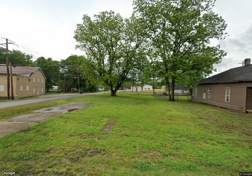
201 Locust Ave Trumann, AR 72472
Estimated Value: $49,521
3
Beds
1
Bath
1,428
Sq Ft
$35/Sq Ft
Est. Value
About This Home
This home is located at 201 Locust Ave, Trumann, AR 72472 and is currently estimated at $49,521, approximately $34 per square foot. 201 Locust Ave is a home located in Poinsett County with nearby schools including Trumann Elementary School, Trumann Intermediate School 5-6, and Trumann Middle School.
Ownership History
Date
Name
Owned For
Owner Type
Purchase Details
Closed on
Dec 1, 2023
Sold by
Commissioner Of State Lands
Bought by
County Of Poinsett
Current Estimated Value
Purchase Details
Closed on
Aug 12, 2020
Sold by
Wood Willie Joe
Bought by
Old Landmark Worship Center Inc
Purchase Details
Closed on
Mar 31, 2020
Sold by
Dunn Bobby and Dunn Lamaynena
Bought by
Wood Willie Joe
Purchase Details
Closed on
Mar 13, 2020
Sold by
Dunn Tristan
Bought by
Dunn Bobby and Dunn Lamaynena
Purchase Details
Closed on
Mar 9, 2020
Sold by
Dunn Bobby and Dunn Lamaynena
Bought by
Dunn Tristan
Purchase Details
Closed on
Feb 29, 2008
Sold by
Not Provided
Bought by
Owens Daniel & Trista & Dunn Bobby and Owens Lamaynena
Create a Home Valuation Report for This Property
The Home Valuation Report is an in-depth analysis detailing your home's value as well as a comparison with similar homes in the area
Home Values in the Area
Average Home Value in this Area
Purchase History
We collect this data history from publicly available records. To have your information removed, we recommend requesting removal directly through your county’s website.
| Date | Buyer | Sale Price | Title Company |
|---|---|---|---|
| County Of Poinsett | $100 | None Listed On Document | |
| Old Landmark Worship Center Inc | -- | None Available | |
| Wood Willie Joe | -- | None Available | |
| Dunn Bobby | -- | None Available | |
| Dunn Tristan | -- | None Available | |
| Owens Daniel & Trista & Dunn Bobby | $26,000 | -- | |
| Owens Daniel | $26,000 | -- |
Source: Public Records
Tax History
| Year | Tax Paid | Tax Assessment Tax Assessment Total Assessment is a certain percentage of the fair market value that is determined by local assessors to be the total taxable value of land and additions on the property. | Land | Improvement |
|---|---|---|---|---|
| 2025 | -- | $0 | $0 | $0 |
| 2024 | -- | $0 | $0 | $0 |
| 2023 | $0 | $0 | $0 | $0 |
| 2022 | $0 | $0 | $0 | $0 |
| 2021 | $34 | $0 | $0 | $0 |
| 2020 | $40 | $680 | $400 | $280 |
| 2019 | $40 | $680 | $400 | $280 |
| 2018 | $40 | $680 | $400 | $280 |
| 2017 | $31 | $680 | $400 | $280 |
| 2016 | $202 | $4,420 | $700 | $3,720 |
| 2015 | $202 | $4,420 | $700 | $3,720 |
| 2014 | $220 | $4,810 | $700 | $4,110 |
Source: Public Records
Map
Nearby Homes
- 304 Plaza Ave
- 508 W Main St
- 353 Holly Ave
- 514 Maple St
- 304 Norma Jean Dr
- 615 W Main St
- 39 W Main St
- 39.10 Acres W Main St Unit 39.10 Acres West Mai
- 217 Oak St Unit 301 Oak St
- 120 E Speedway St
- 116 Mallard Cove
- 612 Circle Dr
- 245 Birch St
- 149 Rosewood Dr
- 100 N Magnolia Dr
- 1117 Mulberry Dr
- 1201 Mulberry Dr
- 629 Butterfield Ave
- 518 Ellis Ave
- 628 Edgerton Ave
Your Personal Tour Guide
Ask me questions while you tour the home.