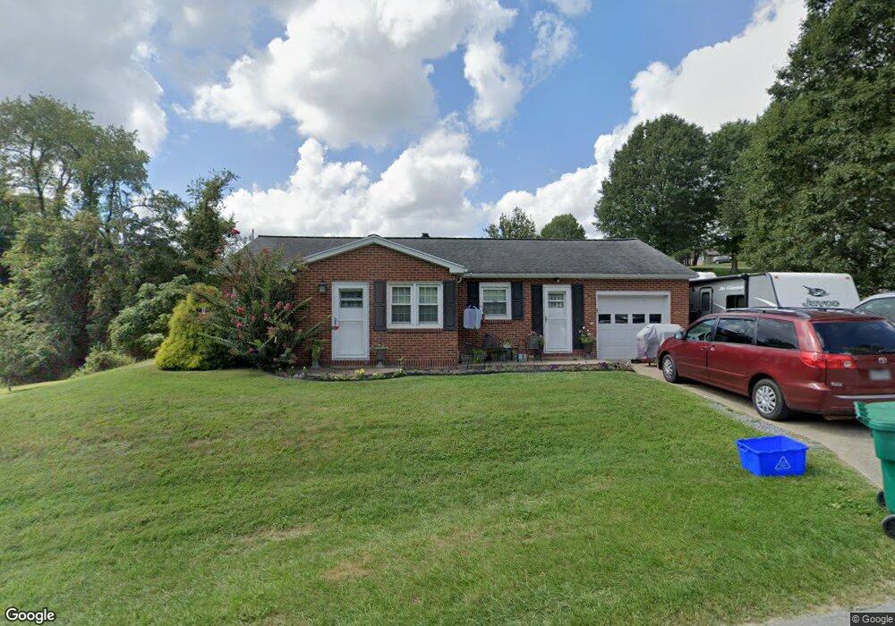
201 Locust Dr Bridgeport, WV 26330
Estimated Value: $198,000 - $251,000
2
Beds
1
Bath
1,224
Sq Ft
$184/Sq Ft
Est. Value
About This Home
This home is located at 201 Locust Dr, Bridgeport, WV 26330 and is currently estimated at $225,583, approximately $184 per square foot. 201 Locust Dr is a home located in Harrison County with nearby schools including Heritage Christian School and Dollie Hilll Christian Academy.
Ownership History
Date
Name
Owned For
Owner Type
Purchase Details
Closed on
Aug 31, 2022
Sold by
Mary Kathryn Turner Revocable Trust
Bought by
Grajales Juan A and Grajales Charlene C
Current Estimated Value
Home Financials for this Owner
Home Financials are based on the most recent Mortgage that was taken out on this home.
Original Mortgage
$171,000
Outstanding Balance
$162,545
Interest Rate
4.99%
Mortgage Type
New Conventional
Estimated Equity
$63,038
Purchase Details
Closed on
Jul 8, 2015
Sold by
Turner Mary Cathryn and Willis Mary Kathryn
Bought by
Mary Kathryn Turner Revocable Trust
Create a Home Valuation Report for This Property
The Home Valuation Report is an in-depth analysis detailing your home's value as well as a comparison with similar homes in the area
Home Values in the Area
Average Home Value in this Area
Purchase History
| Date | Buyer | Sale Price | Title Company |
|---|---|---|---|
| Grajales Juan A | $180,000 | -- | |
| Mary Kathryn Turner Revocable Trust | -- | None Available |
Source: Public Records
Mortgage History
| Date | Status | Borrower | Loan Amount |
|---|---|---|---|
| Open | Grajales Juan A | $171,000 |
Source: Public Records
Tax History Compared to Growth
Tax History
| Year | Tax Paid | Tax Assessment Tax Assessment Total Assessment is a certain percentage of the fair market value that is determined by local assessors to be the total taxable value of land and additions on the property. | Land | Improvement |
|---|---|---|---|---|
| 2025 | $1,579 | $103,620 | $20,940 | $82,680 |
| 2024 | $1,579 | $98,160 | $20,940 | $77,220 |
| 2023 | $2,053 | $67,440 | $20,940 | $46,500 |
| 2022 | $2,060 | $67,020 | $20,940 | $46,080 |
| 2021 | $2,021 | $66,360 | $20,940 | $45,420 |
| 2020 | $1,988 | $65,760 | $20,940 | $44,820 |
| 2019 | $1,981 | $65,520 | $20,940 | $44,580 |
| 2018 | $1,956 | $64,920 | $20,940 | $43,980 |
| 2017 | $1,924 | $64,080 | $20,940 | $43,140 |
| 2016 | $1,881 | $63,240 | $20,940 | $42,300 |
| 2015 | $1,731 | $57,300 | $16,020 | $41,280 |
| 2014 | $1,710 | $56,640 | $16,020 | $40,620 |
Source: Public Records
Map
Nearby Homes
- 0 Corpening Dr
- 000 Corpening Dr
- 420 Water St
- 216 Davisson St
- 220 Davisson St
- 328 W Philadelphia Ave
- 308 S Virginia Ave
- 20 Meadow Ln
- 237 Newton Ave
- 113 Frisco Ln
- 111 Frisco Ln
- 428 James St
- 228 Jefferson St
- 1251 Briercliff Rd
- 210 Frisco Ln
- 303 Lexington Cir
- 214 Orchard Ave
- 117 Newton Ave
- 501 Willow Ln
- 507 Willow Ln