Estimated Value: $471,000 - $505,000
3
Beds
2
Baths
2,293
Sq Ft
$212/Sq Ft
Est. Value
About This Home
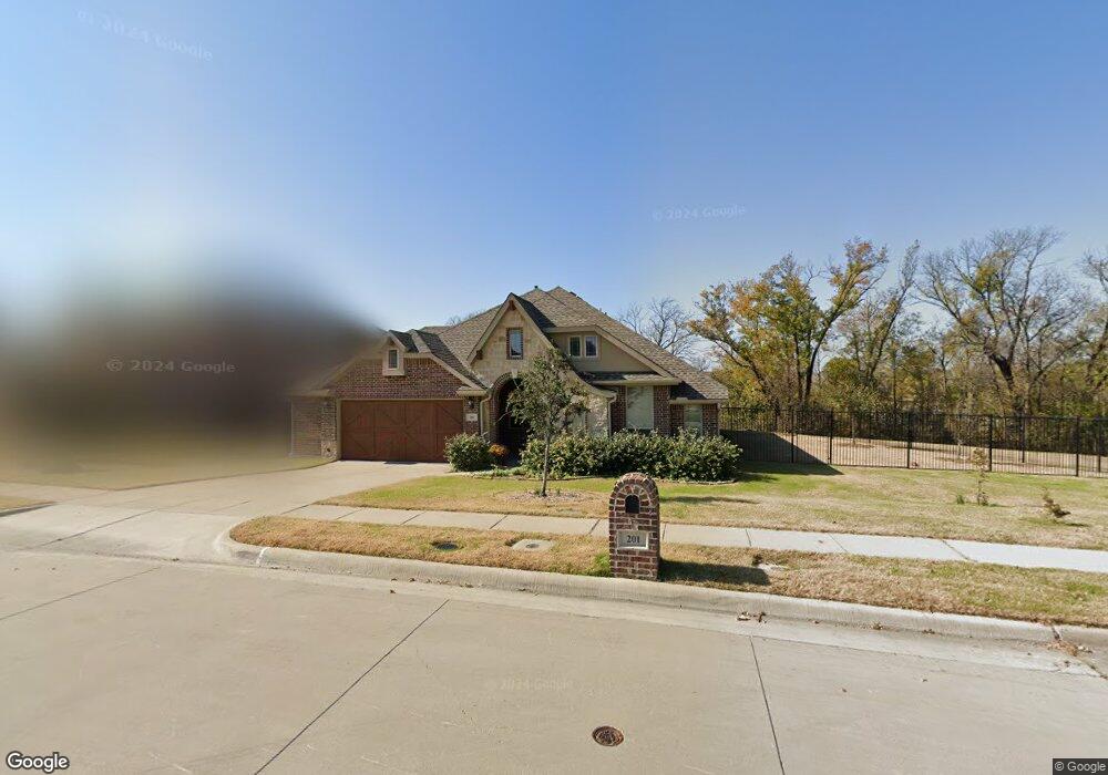
This home is located at 201 Lyndhurst Dr, Wylie, TX 75098 and is currently estimated at $485,428, approximately $211 per square foot. 201 Lyndhurst Dr is a home located in Collin County with nearby schools including P M Akin Elementary School, AB Harrison Intermediate School, and Grady Burnett J High School.
Ownership History
Date
Name
Owned For
Owner Type
Purchase Details
Closed on
Jul 8, 2022
Sold by
Redding Frank J
Bought by
Gratkins Eileen
Current Estimated Value
Purchase Details
Closed on
Sep 8, 2020
Sold by
Burge Elise and Burge Jeremiah
Bought by
Redding Frank J and Redding Sheila R
Home Financials for this Owner
Home Financials are based on the most recent Mortgage that was taken out on this home.
Original Mortgage
$340,250
Interest Rate
2.9%
Mortgage Type
Stand Alone First
Purchase Details
Closed on
Sep 27, 2016
Sold by
Morris Robert and Morris Alicia
Bought by
Burge Jeremiah and Gustafson Stephen
Home Financials for this Owner
Home Financials are based on the most recent Mortgage that was taken out on this home.
Original Mortgage
$162,500
Interest Rate
3.43%
Mortgage Type
New Conventional
Purchase Details
Closed on
Jun 16, 2014
Sold by
Bloomfield Homes Lp
Bought by
Morris Robert and Morris Alicia
Home Financials for this Owner
Home Financials are based on the most recent Mortgage that was taken out on this home.
Original Mortgage
$239,920
Interest Rate
4.35%
Mortgage Type
New Conventional
Create a Home Valuation Report for This Property
The Home Valuation Report is an in-depth analysis detailing your home's value as well as a comparison with similar homes in the area
Home Values in the Area
Average Home Value in this Area
Purchase History
| Date | Buyer | Sale Price | Title Company |
|---|---|---|---|
| Gratkins Eileen | -- | Capital Title | |
| Redding Frank J | -- | Independence Title Company | |
| Burge Jeremiah | -- | Attorney | |
| Morris Robert | -- | Fatco |
Source: Public Records
Mortgage History
| Date | Status | Borrower | Loan Amount |
|---|---|---|---|
| Previous Owner | Redding Frank J | $340,250 | |
| Previous Owner | Burge Jeremiah | $162,500 | |
| Previous Owner | Morris Robert | $239,920 |
Source: Public Records
Tax History Compared to Growth
Tax History
| Year | Tax Paid | Tax Assessment Tax Assessment Total Assessment is a certain percentage of the fair market value that is determined by local assessors to be the total taxable value of land and additions on the property. | Land | Improvement |
|---|---|---|---|---|
| 2025 | $7,546 | $478,998 | $143,000 | $335,998 |
| 2024 | $7,546 | $482,167 | $143,000 | $339,167 |
| 2023 | $7,546 | $468,550 | $121,000 | $347,550 |
| 2022 | $7,912 | $360,658 | $121,000 | $303,817 |
| 2021 | $7,714 | $327,871 | $88,000 | $239,871 |
| 2020 | $7,562 | $304,564 | $88,000 | $216,564 |
| 2019 | $8,253 | $314,062 | $88,000 | $226,062 |
| 2018 | $8,230 | $305,610 | $87,500 | $218,110 |
| 2017 | $8,053 | $299,044 | $87,500 | $211,544 |
| 2016 | $8,023 | $288,737 | $87,500 | $201,237 |
| 2015 | $2,018 | $269,036 | $87,500 | $181,536 |
Source: Public Records
Map
Nearby Homes
- 213 N West A Allen Blvd
- 1056 Fairview Dr
- 1209 Surrey Cir
- 107 Windy Knoll Ln
- 304 Hawthorn Dr
- 310 Hawthorn Dr
- 409 Cedar Ridge Dr
- 306 Foxwood Ct
- 312 Maltese Cir
- 216 Cedar Ridge St
- 825 Foxwood Ln
- 1115 Nighthawk Dr
- 820 Foxwood Ln
- 114 Liberty Dr
- 825 Forest Edge Ln
- 104 Rushcreek Dr
- 1201 E Stone Rd
- 207 Spence Dr
- 811 Forest Edge Ln
- 1308 London Dr
- 201 Lyndhurst Dr
- 203 Lyndhurst Dr
- 1001 Stanbridge Dr
- 205 Lyndhurst Dr
- 120 Lyndhurst Dr
- 1005 Standbridge Dr
- 200 Lyndhurst Dr
- 118 Lyndhurst Dr
- 202 Lyndhurst Dr
- 116 Lyndhurst Dr
- 1016 Standbridge Dr
- 1000 Cambridge Ct
- 207 Lyndhurst Dr
- 114 Lyndhurst Dr
- 101 N W a Allen Blvd
- 101 N W a Allen Blvd
- 1001 Cambridge Ct
- 200 Gatwick Ct
- 103 N W a Allen Blvd
- 206 Lyndhurst Dr