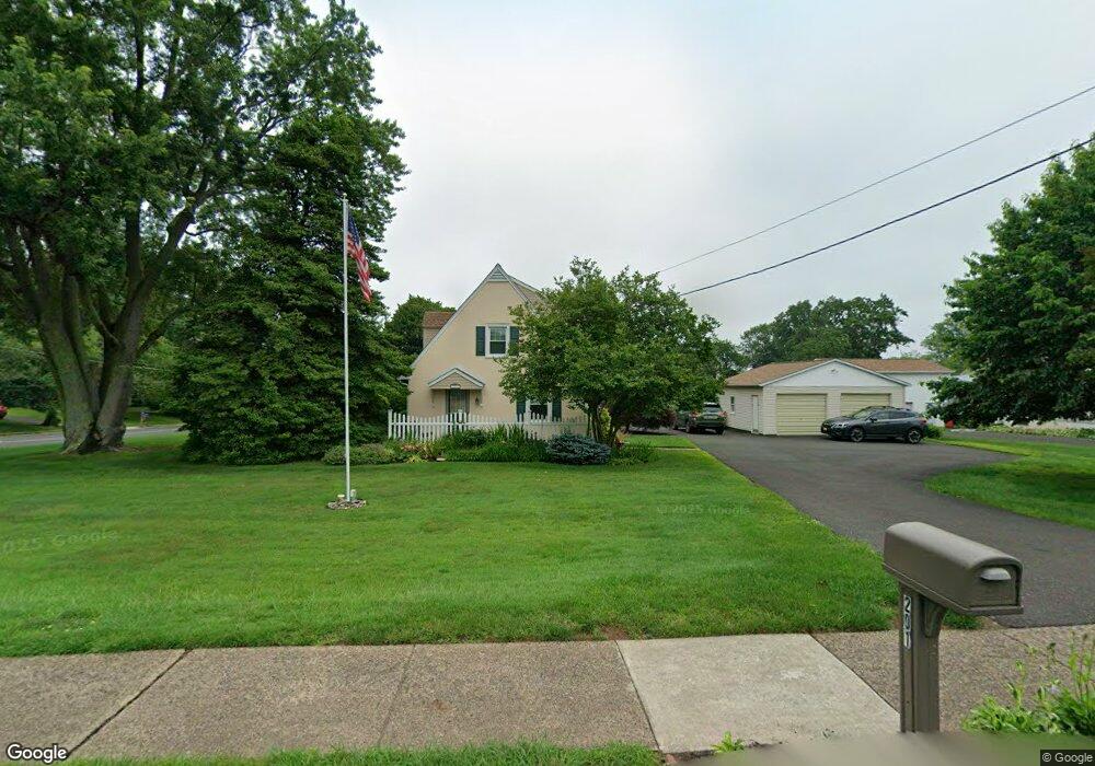
201 Maple Ave Horsham, PA 19044
Estimated Value: $433,277 - $439,000
3
Beds
2
Baths
1,596
Sq Ft
$273/Sq Ft
Est. Value
About This Home
This home is located at 201 Maple Ave, Horsham, PA 19044 and is currently estimated at $436,319, approximately $273 per square foot. 201 Maple Ave is a home located in Montgomery County with nearby schools including Hallowell Elementary School, Keith Valley Middle School, and Hatboro-Horsham Senior High School.
Ownership History
Date
Name
Owned For
Owner Type
Purchase Details
Closed on
Mar 1, 2013
Sold by
Szolna Bernard T and Szolna Marie L
Bought by
Szolna Bernard T and Szolna Marie L
Current Estimated Value
Home Financials for this Owner
Home Financials are based on the most recent Mortgage that was taken out on this home.
Original Mortgage
$125,000
Interest Rate
3.54%
Mortgage Type
VA
Create a Home Valuation Report for This Property
The Home Valuation Report is an in-depth analysis detailing your home's value as well as a comparison with similar homes in the area
Home Values in the Area
Average Home Value in this Area
Purchase History
| Date | Buyer | Sale Price | Title Company |
|---|---|---|---|
| Szolna Bernard T | -- | None Available |
Source: Public Records
Mortgage History
| Date | Status | Borrower | Loan Amount |
|---|---|---|---|
| Closed | Szolna Bernard T | $125,000 |
Source: Public Records
Tax History Compared to Growth
Tax History
| Year | Tax Paid | Tax Assessment Tax Assessment Total Assessment is a certain percentage of the fair market value that is determined by local assessors to be the total taxable value of land and additions on the property. | Land | Improvement |
|---|---|---|---|---|
| 2025 | $4,835 | $123,000 | $53,350 | $69,650 |
| 2024 | $4,835 | $123,000 | $53,350 | $69,650 |
| 2023 | $4,602 | $123,000 | $53,350 | $69,650 |
| 2022 | $4,453 | $123,000 | $53,350 | $69,650 |
| 2021 | $4,348 | $123,000 | $53,350 | $69,650 |
| 2020 | $4,245 | $123,000 | $53,350 | $69,650 |
| 2019 | $4,164 | $123,000 | $53,350 | $69,650 |
| 2018 | $3,237 | $123,000 | $53,350 | $69,650 |
| 2017 | $3,977 | $123,000 | $53,350 | $69,650 |
| 2016 | $3,929 | $123,000 | $53,350 | $69,650 |
| 2015 | $3,753 | $123,000 | $53,350 | $69,650 |
| 2014 | $3,753 | $123,000 | $53,350 | $69,650 |
Source: Public Records
Map
Nearby Homes
- 204 Wilson Ave
- 414 Watson Ave
- 890 Easton Rd
- 125 Meetinghouse Rd
- 416 Aspen Ln
- 236 Oak Hill Dr
- 604 Liberty Ridge Rd
- 616 Liberty Ridge Rd
- 474 Easton Rd
- 603 Liberty Ridge Rd
- 605 Liberty Ridge Rd
- 607 Liberty Ridge Rd
- 611 Liberty Ridge Rd
- Faraday Plan at Liberty Ridge
- Westmont Plan at Liberty Ridge
- Northbrook Plan at Liberty Ridge
- 224 Oakdale Ave
- 213B Cottage Ave
- 336 Laurel Ave
- 4 Beaver Hill Rd
- 203 Maple Ave
- 423 W Moreland Ave
- 202 Wilson Ave Unit 22
- 428 W Moreland Ave
- 205 Maple Ave
- 426 W Moreland Ave
- 424 W Moreland Ave
- 510 W Moreland Ave
- 207 Maple Ave
- 131 Maple Ave
- 422 W Moreland Ave
- 203 Wilson Ave
- 208 Wilson Ave
- 421 W Moreland Ave
- 512 W Moreland Ave
- 205 Wilson Ave
- 420 W Moreland Ave
- 424 Watson Ave
- 206 Wilson Ave
- 209 Wilson Ave