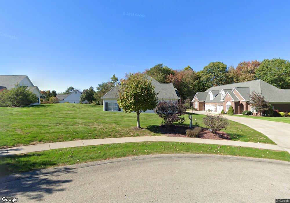
201 Maple Ct Aliquippa, PA 15001
Estimated Value: $265,000 - $323,000
2
Beds
2
Baths
1,490
Sq Ft
$195/Sq Ft
Est. Value
About This Home
This home is located at 201 Maple Ct, Aliquippa, PA 15001 and is currently estimated at $290,938, approximately $195 per square foot. 201 Maple Ct is a home located in Beaver County with nearby schools including Center Grange Primary School, Todd Lane Elementary School, and Central Valley Middle School.
Ownership History
Date
Name
Owned For
Owner Type
Purchase Details
Closed on
Sep 13, 2022
Sold by
Nalli Eugene and Nalli Joanne
Bought by
Eugene And Joanne Nalli Irrevocable Family Pr
Current Estimated Value
Purchase Details
Closed on
Mar 31, 2022
Sold by
Sklack Elizabeth L
Bought by
Nalli Eugene and Nalli Joanne
Purchase Details
Closed on
Jun 17, 2004
Sold by
Ts Group Of Center Townsh
Bought by
Sklack Elizabeth L
Home Financials for this Owner
Home Financials are based on the most recent Mortgage that was taken out on this home.
Original Mortgage
$130,150
Interest Rate
6.28%
Mortgage Type
New Conventional
Create a Home Valuation Report for This Property
The Home Valuation Report is an in-depth analysis detailing your home's value as well as a comparison with similar homes in the area
Home Values in the Area
Average Home Value in this Area
Purchase History
| Date | Buyer | Sale Price | Title Company |
|---|---|---|---|
| Eugene And Joanne Nalli Irrevocable Family Pr | -- | -- | |
| Nalli Eugene | $235,500 | None Listed On Document | |
| Sklack Elizabeth L | $162,745 | -- |
Source: Public Records
Mortgage History
| Date | Status | Borrower | Loan Amount |
|---|---|---|---|
| Previous Owner | Sklack Elizabeth L | $130,150 |
Source: Public Records
Tax History Compared to Growth
Tax History
| Year | Tax Paid | Tax Assessment Tax Assessment Total Assessment is a certain percentage of the fair market value that is determined by local assessors to be the total taxable value of land and additions on the property. | Land | Improvement |
|---|---|---|---|---|
| 2025 | $2,125 | $117,950 | $17,200 | $100,750 |
| 2024 | $3,783 | $117,950 | $17,200 | $100,750 |
| 2023 | $5,021 | $47,400 | $10,300 | $37,100 |
| 2022 | $4,668 | $47,400 | $10,300 | $37,100 |
| 2021 | $4,668 | $47,400 | $10,300 | $37,100 |
| 2020 | $4,467 | $47,400 | $10,300 | $37,100 |
| 2019 | $4,467 | $47,400 | $10,300 | $37,100 |
| 2018 | $4,269 | $47,400 | $10,300 | $37,100 |
| 2017 | $4,269 | $47,400 | $10,300 | $37,100 |
| 2016 | $3,975 | $47,400 | $10,300 | $37,100 |
| 2015 | $1,052 | $47,400 | $10,300 | $37,100 |
| 2014 | $1,052 | $47,400 | $10,300 | $37,100 |
Source: Public Records
Map
Nearby Homes
- 122 Gross Dr
- 145 Oakhill Rd
- 116 Autumn St
- 222 W Shaffer Rd
- 148 Zimmerle Dr
- 133 Bennett Blvd
- 154 Sunset Blvd
- 137 Sunset Blvd
- 3369 Brodhead Rd
- 0 Farland St Unit 1716872
- 155 W Woodland Dr
- 223 Columbia Dr
- 215 Columbia Dr
- 3444 Brodhead Rd
- 129 Bainbridge Dr
- 182 Center Grange Rd
- 130 Columbia Dr
- 107 Pinehurst Dr
- 103 Brookhaven Dr
- 129 Kings Dr