201 Mckenzie St Waynesville, MO 65583
Estimated Value: $213,000 - $302,000
Studio
1
Bath
1,404
Sq Ft
$175/Sq Ft
Est. Value
About This Home
This home is located at 201 Mckenzie St, Waynesville, MO 65583 and is currently estimated at $245,282, approximately $174 per square foot. 201 Mckenzie St is a home located in Pulaski County with nearby schools including Waynesville East Elementary School, Freedom Elementary School, and Waynesville Middle School.
Ownership History
Date
Name
Owned For
Owner Type
Purchase Details
Closed on
Dec 31, 2009
Sold by
Borek Christopher W and Borek Shanon
Bought by
Borek Christopher W and Borek Shannon K
Current Estimated Value
Purchase Details
Closed on
Apr 12, 2006
Sold by
Graham Nicholas C and Graham Erika
Bought by
Borek Christopher W and Borek Shanon
Home Financials for this Owner
Home Financials are based on the most recent Mortgage that was taken out on this home.
Original Mortgage
$164,870
Outstanding Balance
$92,465
Interest Rate
6.33%
Mortgage Type
VA
Estimated Equity
$152,817
Create a Home Valuation Report for This Property
The Home Valuation Report is an in-depth analysis detailing your home's value as well as a comparison with similar homes in the area
Home Values in the Area
Average Home Value in this Area
Purchase History
| Date | Buyer | Sale Price | Title Company |
|---|---|---|---|
| Borek Christopher W | -- | None Available | |
| Borek Christopher W | -- | None Available |
Source: Public Records
Mortgage History
| Date | Status | Borrower | Loan Amount |
|---|---|---|---|
| Open | Borek Christopher W | $164,870 |
Source: Public Records
Tax History
| Year | Tax Paid | Tax Assessment Tax Assessment Total Assessment is a certain percentage of the fair market value that is determined by local assessors to be the total taxable value of land and additions on the property. | Land | Improvement |
|---|---|---|---|---|
| 2025 | $1,006 | $26,506 | $3,990 | $22,516 |
| 2024 | $10 | $23,794 | $3,325 | $20,469 |
| 2023 | $982 | $23,794 | $3,325 | $20,469 |
| 2022 | $975 | $23,794 | $3,325 | $20,469 |
| 2021 | $964 | $23,794 | $3,325 | $20,469 |
| 2020 | $945 | $23,455 | $0 | $0 |
| 2019 | $945 | $22,819 | $0 | $0 |
| 2018 | $944 | $22,819 | $0 | $0 |
| 2017 | $932 | $23,455 | $0 | $0 |
| 2016 | $887 | $22,820 | $0 | $0 |
| 2015 | $880 | $22,820 | $0 | $0 |
| 2014 | $880 | $22,820 | $0 | $0 |
Source: Public Records
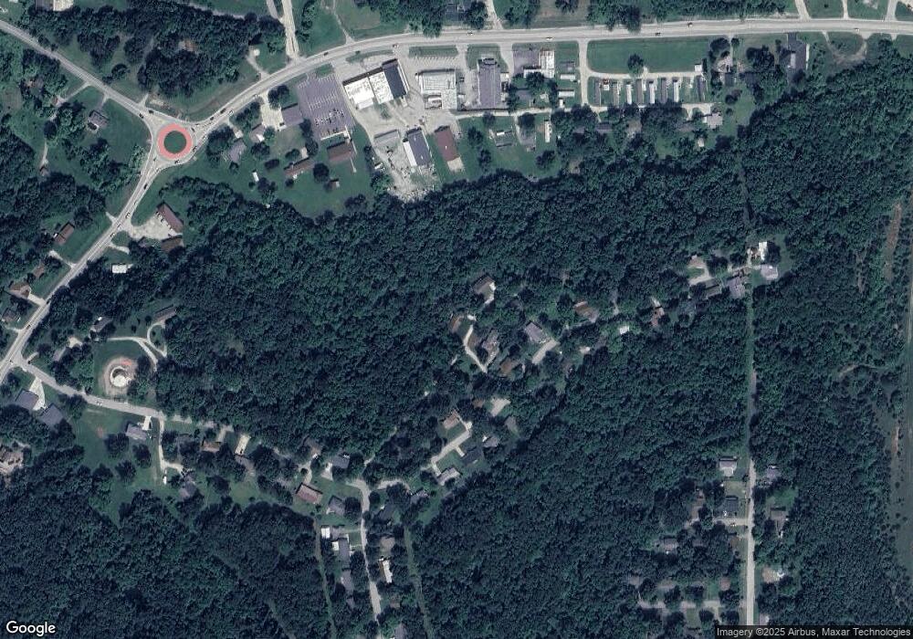
Map
Nearby Homes
- 1809-A U S Route 66
- 1802 Pearson St
- 214 Fritts Cir
- 1909 Long Dr
- 1903 Long Dr
- 215 Settlers Pass
- 223 Settlers Pass
- 225 Settlers Pass
- 110 Pioneer Ct
- 182 Jared St
- 180 Jared St
- 0 Lots 97 and 98 Ridgecreek Unit MIS25080188
- 208 Lafayette Cir
- 206 Lafayette Cir
- 1401 Hull Valley Dr
- 1201 Hull Valley Dr
- 166 Jared St
- 0 Lot 16 Westwinds S D Unit MAR25013085
- 122 Page St
- 1105 Old Highway H
Your Personal Tour Guide
Ask me questions while you tour the home.