Estimated Value: $231,000 - $250,000
3
Beds
2
Baths
1,541
Sq Ft
$157/Sq Ft
Est. Value
About This Home
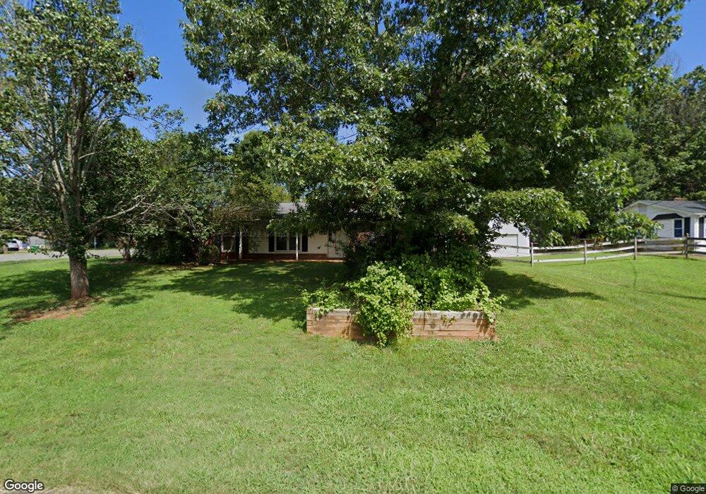
This home is located at 201 Misty Ct, King, NC 27021 and is currently estimated at $241,727, approximately $156 per square foot. 201 Misty Ct is a home located in Stokes County with nearby schools including Poplar Springs Elementary School, Chestnut Grove Middle, and West Stokes High.
Ownership History
Date
Name
Owned For
Owner Type
Purchase Details
Closed on
Oct 19, 2006
Sold by
Posey Kenneth G and Posey Betty Jean
Bought by
Wilson Eugene Alexander
Current Estimated Value
Home Financials for this Owner
Home Financials are based on the most recent Mortgage that was taken out on this home.
Original Mortgage
$122,450
Outstanding Balance
$72,461
Interest Rate
6.31%
Mortgage Type
VA
Estimated Equity
$169,266
Create a Home Valuation Report for This Property
The Home Valuation Report is an in-depth analysis detailing your home's value as well as a comparison with similar homes in the area
Home Values in the Area
Average Home Value in this Area
Purchase History
| Date | Buyer | Sale Price | Title Company |
|---|---|---|---|
| Wilson Eugene Alexander | $120,000 | None Available |
Source: Public Records
Mortgage History
| Date | Status | Borrower | Loan Amount |
|---|---|---|---|
| Open | Wilson Eugene Alexander | $122,450 |
Source: Public Records
Tax History Compared to Growth
Tax History
| Year | Tax Paid | Tax Assessment Tax Assessment Total Assessment is a certain percentage of the fair market value that is determined by local assessors to be the total taxable value of land and additions on the property. | Land | Improvement |
|---|---|---|---|---|
| 2025 | $2,098 | $191,600 | $35,000 | $156,600 |
| 2024 | $2,098 | $133,100 | $30,000 | $103,100 |
| 2023 | $1,571 | $133,100 | $30,000 | $103,100 |
| 2022 | $1,504 | $133,100 | $30,000 | $103,100 |
| 2021 | $1,504 | $133,100 | $30,000 | $103,100 |
| 2020 | $1,257 | $116,200 | $25,000 | $91,200 |
| 2019 | $1,257 | $116,200 | $25,000 | $91,200 |
| 2018 | $1,257 | $116,200 | $25,000 | $91,200 |
| 2017 | $1,257 | $116,200 | $25,000 | $91,200 |
| 2016 | $1,218 | $112,600 | $25,000 | $87,600 |
| 2015 | $1,218 | $112,600 | $25,000 | $87,600 |
| 2014 | $1,258 | $112,600 | $25,000 | $87,600 |
Source: Public Records
Map
Nearby Homes
- Lot 18 Glen Brooke Ln
- Lot 19 Glen Brooke Ln
- 818 Merriweather Dr
- 817 Merriweather Dr
- 821 Merriweather Dr
- 119 Red Leaf Dr
- 118 Red Leaf Dr
- 109 Glen Brooke Ln
- 203 Turkey Hill Dr
- CALI Plan at High Meadows
- Kyle Plan at High Meadows
- Penwell Plan at High Meadows
- Hayden Plan at High Meadows
- 0 Glen Brooke Ln
- 217 Maverick Trail Dr
- 225 Maverick Trail Dr
- 236 Maverick Trail Dr
- 230 Maverick Trail Dr
- 149 Helsabeck Rd
- 104 Belay Dr
- 108 Woodale Ct
- 205 Misty Ct
- 107 Misty Ct
- 202 Misty Ct
- 206 Misty Ct
- 110 Misty Ct
- 210 Misty Ct
- 213 Misty Ct
- 107 Woodale Ct
- 106 Misty Ct
- 206 Stokes Forest Dr
- 214 Misty Ct
- 410 Merriweather Dr
- 218 Misty Ct
- 414 Merriweather Dr
- 112 Stokes Forest Dr
- 210 Stokes Forest Dr
- 110 Meta Ct
- 418 Merriweather Dr
- 406 Merriweather Dr