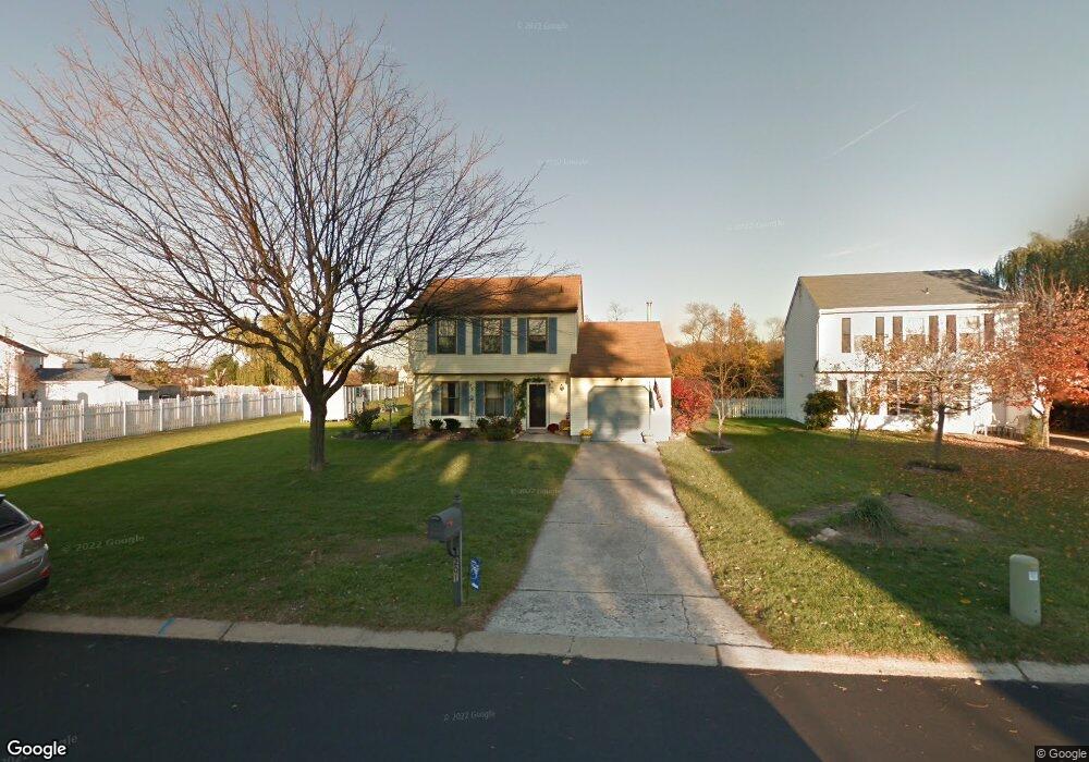
201 Mockingbird Ln Swedesboro, NJ 08085
Logan Township NeighborhoodEstimated Value: $366,324 - $378,000
3
Beds
2
Baths
1,536
Sq Ft
$244/Sq Ft
Est. Value
About This Home
This home is located at 201 Mockingbird Ln, Swedesboro, NJ 08085 and is currently estimated at $374,581, approximately $243 per square foot. 201 Mockingbird Ln is a home located in Gloucester County with nearby schools including Logan Township Elementary School.
Ownership History
Date
Name
Owned For
Owner Type
Purchase Details
Closed on
Dec 17, 2010
Sold by
White David W and White Michele L
Bought by
Boyer Tanya
Current Estimated Value
Home Financials for this Owner
Home Financials are based on the most recent Mortgage that was taken out on this home.
Original Mortgage
$174,400
Outstanding Balance
$116,274
Interest Rate
4.4%
Mortgage Type
New Conventional
Estimated Equity
$258,307
Purchase Details
Closed on
Feb 28, 2002
Sold by
Kernoschak Michael F and Kernoschak Jeanne
Bought by
White David W and Launtz Michelle L
Home Financials for this Owner
Home Financials are based on the most recent Mortgage that was taken out on this home.
Original Mortgage
$122,550
Interest Rate
6.85%
Mortgage Type
Purchase Money Mortgage
Create a Home Valuation Report for This Property
The Home Valuation Report is an in-depth analysis detailing your home's value as well as a comparison with similar homes in the area
Home Values in the Area
Average Home Value in this Area
Purchase History
| Date | Buyer | Sale Price | Title Company |
|---|---|---|---|
| Boyer Tanya | $218,000 | Commonwealth Land Title Insu | |
| White David W | $129,000 | -- |
Source: Public Records
Mortgage History
| Date | Status | Borrower | Loan Amount |
|---|---|---|---|
| Open | Boyer Tanya | $174,400 | |
| Previous Owner | White David W | $122,550 |
Source: Public Records
Tax History Compared to Growth
Tax History
| Year | Tax Paid | Tax Assessment Tax Assessment Total Assessment is a certain percentage of the fair market value that is determined by local assessors to be the total taxable value of land and additions on the property. | Land | Improvement |
|---|---|---|---|---|
| 2025 | $3,838 | $295,200 | $68,000 | $227,200 |
| 2024 | $4,291 | $295,200 | $68,000 | $227,200 |
| 2023 | $4,291 | $213,500 | $57,000 | $156,500 |
| 2022 | $4,460 | $213,500 | $57,000 | $156,500 |
| 2021 | $3,472 | $213,500 | $57,000 | $156,500 |
| 2020 | $4,644 | $213,500 | $57,000 | $156,500 |
| 2019 | $4,637 | $213,500 | $57,000 | $156,500 |
| 2018 | $4,509 | $213,500 | $57,000 | $156,500 |
| 2017 | $4,495 | $179,300 | $50,000 | $129,300 |
| 2016 | $4,422 | $179,300 | $50,000 | $129,300 |
| 2015 | $3,909 | $179,300 | $50,000 | $129,300 |
| 2014 | $3,790 | $179,300 | $50,000 | $129,300 |
Source: Public Records
Map
Nearby Homes
- 144 Robins Run W
- 128 Robins Run W
- 18 Dogwood Place
- 209 Windsor Dr
- 23 Adams St
- 229 Westbrook Dr
- 111 Peachwood Dr
- 120 Edward Dr
- 55 Hamilton St
- 112 Carriage Ln
- 9 Brattleboro Rd
- 60 Pedricktown Woodstown Rd
- 217 Spruce Trail
- 142 Ramona Ln
- 203 Amesbury Blvd
- 135 Juniper Ln
- 328 Pedricktown Rd
- 13 Sweet Bay Ln
- 330 Taft Dr
- 17 Hickory Ln
- 203 Mockingbird Ln
- 205 Mockingbird Ln
- 202 Mockingbird Ln
- 100 Mockingbird Ct
- 102 Mockingbird Ct
- 204 Mockingbird Ln
- 207 Mockingbird Ln
- 310 Mockingbird Ln
- 107 Blue Jay Dr
- 104 Mockingbird Ct
- 209 Mockingbird Ln
- 308 Mockingbird Ln
- 105 Blue Jay Dr
- 120 Blue Jay Dr
- 106 Mockingbird Ct
- 211 Mockingbird Ln
- 105 Mockingbird Ct
- 306 Mockingbird Ln
- 118 Blue Jay Dr
- 304 Mockingbird Ln
