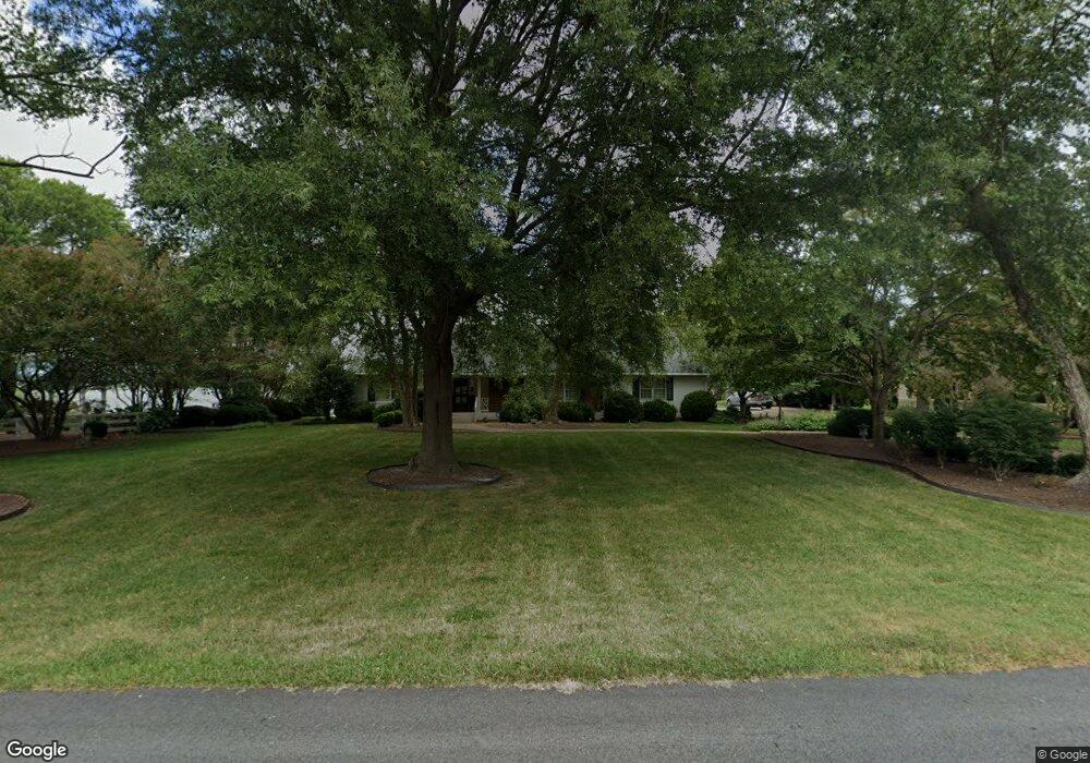
201 Moonefield Dr Smithfield, VA 23430
Estimated Value: $865,000 - $976,000
4
Beds
5
Baths
4,112
Sq Ft
$222/Sq Ft
Est. Value
About This Home
This home is located at 201 Moonefield Dr, Smithfield, VA 23430 and is currently estimated at $911,641, approximately $221 per square foot. 201 Moonefield Dr is a home located in Isle of Wight County with nearby schools including Hardy Elementary School, Smithfield Middle School, and Smithfield High School.
Ownership History
Date
Name
Owned For
Owner Type
Purchase Details
Closed on
Jan 1, 1977
Current Estimated Value
Create a Home Valuation Report for This Property
The Home Valuation Report is an in-depth analysis detailing your home's value as well as a comparison with similar homes in the area
Home Values in the Area
Average Home Value in this Area
Purchase History
| Date | Buyer | Sale Price | Title Company |
|---|---|---|---|
| -- | $90,000 | -- |
Source: Public Records
Tax History
| Year | Tax Paid | Tax Assessment Tax Assessment Total Assessment is a certain percentage of the fair market value that is determined by local assessors to be the total taxable value of land and additions on the property. | Land | Improvement |
|---|---|---|---|---|
| 2025 | $7,280 | $939,400 | $219,500 | $719,900 |
| 2024 | $6,858 | $939,400 | $219,500 | $719,900 |
| 2023 | $6,724 | $939,400 | $219,500 | $719,900 |
| 2022 | $5,759 | $671,200 | $219,500 | $451,700 |
| 2021 | $5,759 | $671,200 | $219,500 | $451,700 |
| 2020 | $5,759 | $671,200 | $219,500 | $451,700 |
| 2019 | $5,759 | $671,200 | $219,500 | $451,700 |
| 2018 | $5,519 | $642,900 | $219,500 | $423,400 |
| 2016 | $5,537 | $642,900 | $219,500 | $423,400 |
| 2015 | $5,356 | $642,900 | $219,500 | $423,400 |
| 2014 | $5,356 | $621,600 | $219,500 | $402,100 |
| 2013 | -- | $621,600 | $219,500 | $402,100 |
Source: Public Records
Map
Nearby Homes
- 4 Poplar Ct
- 307 Ridgeland Dr
- 192 Royal Black Heath
- 603 Gatling Pointe Pkwy
- 402 Jefferson Dr
- 901 Lakeview Cove
- 322 Edgewood Dr
- 103 Clipper Creek Ln
- 104 Regatta Ln
- 221 Richmond Ave
- 224 Richmond Ave
- 224 Saint Paul's Ave Unit 32-3
- 224 St Pauls Ave
- 212 St Pauls Ave
- 212 St Pauls Ave Unit 30-4
- 209 Oxford Ave
- 209 Oxford Ave Unit 40-1
- 205 Oxford Ave
- 205 Oxford Ave Unit 39-2
- 214 Oxford Ave Unit 48-2
- 201 Moonefield Dr
- 201 Moonefield Dr
- 203 Moonefield Dr
- 101 Moonefield Dr
- 200 Moonefield Dr
- 100 Azalea Dr
- 202 Moonefield Dr
- 1B Azalea Dr
- 20 Moonefield Dr
- 96 Moonefield Dr
- 204 Moonefield Dr
- 201 Azalea Dr
- 92 Moonefield Dr
- 92 Moonefield Dr
- 205 Moonefield Dr
- 198 Azalea Dr
- 206 Moonefield Dr
- 3 Riverside Dr
- 203 Azalea Dr
- 208 Moonefield Dr
Your Personal Tour Guide
Ask me questions while you tour the home.