201 Morgan Ct Waynesboro, VA 22980
Estimated Value: $422,000 - $646,984
4
Beds
3
Baths
2,981
Sq Ft
$179/Sq Ft
Est. Value
About This Home
This home is located at 201 Morgan Ct, Waynesboro, VA 22980 and is currently estimated at $534,492, approximately $179 per square foot. 201 Morgan Ct is a home located in Waynesboro City with nearby schools including Westwood Hills Elementary School, Kate Collins Middle School, and Waynesboro High School.
Ownership History
Date
Name
Owned For
Owner Type
Purchase Details
Closed on
Sep 11, 2012
Sold by
Harrell Ronald C
Bought by
Buchanan William G
Current Estimated Value
Home Financials for this Owner
Home Financials are based on the most recent Mortgage that was taken out on this home.
Original Mortgage
$173,840
Outstanding Balance
$120,006
Interest Rate
3.52%
Mortgage Type
New Conventional
Estimated Equity
$414,486
Create a Home Valuation Report for This Property
The Home Valuation Report is an in-depth analysis detailing your home's value as well as a comparison with similar homes in the area
Home Values in the Area
Average Home Value in this Area
Purchase History
| Date | Buyer | Sale Price | Title Company |
|---|---|---|---|
| Buchanan William G | $328,000 | -- |
Source: Public Records
Mortgage History
| Date | Status | Borrower | Loan Amount |
|---|---|---|---|
| Open | Buchanan William G | $173,840 |
Source: Public Records
Tax History Compared to Growth
Tax History
| Year | Tax Paid | Tax Assessment Tax Assessment Total Assessment is a certain percentage of the fair market value that is determined by local assessors to be the total taxable value of land and additions on the property. | Land | Improvement |
|---|---|---|---|---|
| 2025 | $3,650 | $445,100 | $62,500 | $382,600 |
| 2024 | $3,231 | $419,600 | $58,500 | $361,100 |
| 2023 | $3,231 | $419,600 | $58,500 | $361,100 |
| 2022 | $3,148 | $349,800 | $53,500 | $296,300 |
| 2021 | $3,148 | $349,800 | $53,500 | $296,300 |
| 2020 | $2,733 | $303,700 | $53,500 | $250,200 |
| 2019 | $2,733 | $303,700 | $53,500 | $250,200 |
| 2018 | $2,756 | $306,200 | $53,500 | $252,700 |
| 2017 | $2,664 | $306,200 | $53,500 | $252,700 |
| 2016 | $2,450 | $306,200 | $53,500 | $252,700 |
| 2015 | $2,450 | $306,200 | $53,500 | $252,700 |
| 2014 | -- | $287,700 | $60,000 | $227,700 |
| 2013 | -- | $0 | $0 | $0 |
Source: Public Records
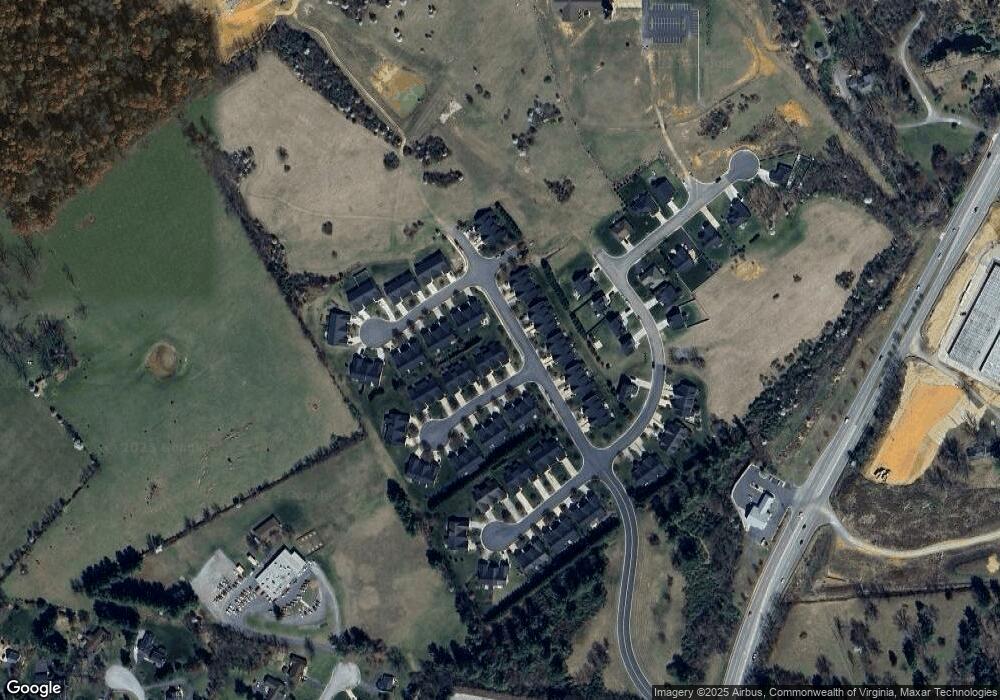
Map
Nearby Homes
- 227 Langley Dr
- 159 Langley Dr
- 155 Langley Dr
- 127 Springdale Rd
- 128 Springdale Rd
- 129 Springdale Rd
- 131 Springdale Rd
- 138 Lindburgh Dr
- 77A Springdale Rd
- 64D Springdale Rd
- 64C Springdale Rd
- 64B Springdale Rd
- 64A Springdale Rd
- 62 Springdale Rd
- 79 Springdale Rd
- 213 Sunbird Ln
- 94A Sunbird Ln
- 144 Sunbird Ln
- 73A Sunbird Ln
- 205 Morgan Ct
- 209 Morgan Ct
- 300 Laurel Wood Run
- 304 Laurel Wood Run
- 213 Morgan Ct
- 308 Laurel Wood Run
- 137 Bryant Dr
- 141 Bryant Dr
- 133 Bryant Dr
- 200 Morgan Ct
- 312 Laurel Wood Run
- 129 Bryant Dr
- 204 Morgan Ct
- 125 Bryant Dr
- 217 Morgan Ct
- 153 Bryant Dr
- 208 Morgan Ct
- 121 Bryant Dr
- 316 Laurel Wood Run
- Lot 15 Laurel Wood Run