201 Mount Zion Rd Huntsville, AL 35806
Monrovia NeighborhoodEstimated Value: $761,385 - $1,290,000
--
Bed
1
Bath
6,293
Sq Ft
$165/Sq Ft
Est. Value
About This Home
This home is located at 201 Mount Zion Rd, Huntsville, AL 35806 and is currently estimated at $1,036,462, approximately $164 per square foot. 201 Mount Zion Rd is a home with nearby schools including Legacy Elementary School, Monrovia Middle School, and Sparkman High School.
Ownership History
Date
Name
Owned For
Owner Type
Purchase Details
Closed on
Sep 9, 2010
Sold by
Cunningham Charles F and Cunningham Carolyn B
Bought by
Harmening Scott J and Harmening Karen C
Current Estimated Value
Purchase Details
Closed on
Feb 10, 2005
Sold by
Morring Raymon H and Morring Martha Phillips
Bought by
Bwm Land Llc
Home Financials for this Owner
Home Financials are based on the most recent Mortgage that was taken out on this home.
Original Mortgage
$2,386,500
Outstanding Balance
$1,210,626
Interest Rate
5.72%
Mortgage Type
Future Advance Clause Open End Mortgage
Estimated Equity
-$174,164
Create a Home Valuation Report for This Property
The Home Valuation Report is an in-depth analysis detailing your home's value as well as a comparison with similar homes in the area
Home Values in the Area
Average Home Value in this Area
Purchase History
| Date | Buyer | Sale Price | Title Company |
|---|---|---|---|
| Harmening Scott J | -- | -- | |
| Bwm Land Llc | -- | -- |
Source: Public Records
Mortgage History
| Date | Status | Borrower | Loan Amount |
|---|---|---|---|
| Open | Bwm Land Llc | $2,386,500 |
Source: Public Records
Tax History Compared to Growth
Tax History
| Year | Tax Paid | Tax Assessment Tax Assessment Total Assessment is a certain percentage of the fair market value that is determined by local assessors to be the total taxable value of land and additions on the property. | Land | Improvement |
|---|---|---|---|---|
| 2024 | $2,993 | $83,620 | $3,600 | $80,020 |
| 2023 | $2,993 | $80,740 | $3,600 | $77,140 |
| 2022 | $2,544 | $71,260 | $2,940 | $68,320 |
| 2021 | $2,368 | $66,420 | $2,940 | $63,480 |
| 2020 | $2,211 | $62,130 | $2,930 | $59,200 |
| 2019 | $2,127 | $59,460 | $2,930 | $56,530 |
| 2018 | $1,858 | $52,440 | $0 | $0 |
| 2017 | $1,858 | $52,440 | $0 | $0 |
| 2016 | $1,858 | $52,440 | $0 | $0 |
| 2015 | $1,858 | $52,440 | $0 | $0 |
| 2014 | $1,929 | $54,380 | $0 | $0 |
Source: Public Records
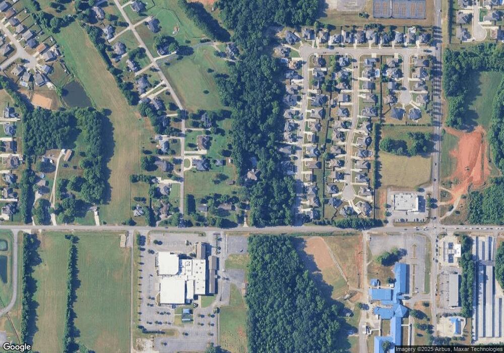
Map
Nearby Homes
- 124 Huston Ct
- 104 Raymon Cir
- 1 ACRE EASEMENT Jeff Rd NW
- 1.4 acres Jeff Rd NW
- 10.4 acres Jeff Rd NW
- 109 Sarah Jane Dr
- 2031 Blake Bottom Rd NW Unit 15
- 2031 Blake Bottom Rd NW
- 2031 Blake Bottom Rd NW Unit 2
- 989 Jeff Rd NW
- 229 Brooklet Ct
- 436 Mount Zion Rd
- 253 Pumprock Dr
- 115 Misty Hollow Way
- 482 Mount Zion Rd
- 241 Mercury Ln
- 223 Wainscott Dr
- 108 Conifer Ct
- 150 Blue Spruce Dr
- 114 Pettus Rd