201 N 10th Ave Purcell, OK 73080
Estimated Value: $323,000 - $444,443
4
Beds
3
Baths
3,258
Sq Ft
$115/Sq Ft
Est. Value
About This Home
This home is located at 201 N 10th Ave, Purcell, OK 73080 and is currently estimated at $373,611, approximately $114 per square foot. 201 N 10th Ave is a home located in McClain County with nearby schools including Purcell Elementary School, Purcell Intermediate School, and Purcell Junior High School.
Ownership History
Date
Name
Owned For
Owner Type
Purchase Details
Closed on
Oct 20, 2022
Sold by
Sharp Tracy Dow
Bought by
Sharp Tracy Dow and Sackett Bethany Lyn
Current Estimated Value
Purchase Details
Closed on
Oct 12, 2005
Sold by
Jpmorgan Chase Bank
Bought by
Sackett Windrow M and Sackett Kylie A
Purchase Details
Closed on
Dec 3, 2003
Sold by
Anderson Theodore and Anderson Linda
Bought by
Sackett Windrow and Sackett Kylie
Purchase Details
Closed on
Feb 21, 1995
Sold by
Garner Samuel
Bought by
Anderson Theordore
Create a Home Valuation Report for This Property
The Home Valuation Report is an in-depth analysis detailing your home's value as well as a comparison with similar homes in the area
Home Values in the Area
Average Home Value in this Area
Purchase History
| Date | Buyer | Sale Price | Title Company |
|---|---|---|---|
| Sharp Tracy Dow | -- | None Listed On Document | |
| Sharp Tracy Dow | -- | None Listed On Document | |
| Sackett Windrow M | $40,000 | None Available | |
| Sackett Windrow | $212,500 | -- | |
| Anderson Theordore | $156,000 | -- |
Source: Public Records
Tax History Compared to Growth
Tax History
| Year | Tax Paid | Tax Assessment Tax Assessment Total Assessment is a certain percentage of the fair market value that is determined by local assessors to be the total taxable value of land and additions on the property. | Land | Improvement |
|---|---|---|---|---|
| 2024 | $4,210 | $38,756 | $4,445 | $34,311 |
| 2023 | $4,210 | $36,911 | $3,834 | $33,077 |
| 2022 | $3,803 | $35,424 | $4,132 | $31,292 |
| 2021 | $3,693 | $33,967 | $4,132 | $29,835 |
| 2020 | $3,875 | $35,990 | $2,515 | $33,475 |
| 2019 | $3,757 | $34,277 | $2,472 | $31,805 |
| 2018 | $3,547 | $32,643 | $2,345 | $30,298 |
| 2017 | $3,301 | $31,089 | $2,255 | $28,834 |
| 2016 | $3,182 | $29,609 | $2,325 | $27,284 |
| 2015 | $3,079 | $28,199 | $2,255 | $25,944 |
| 2014 | $2,903 | $26,857 | $2,130 | $24,727 |
Source: Public Records
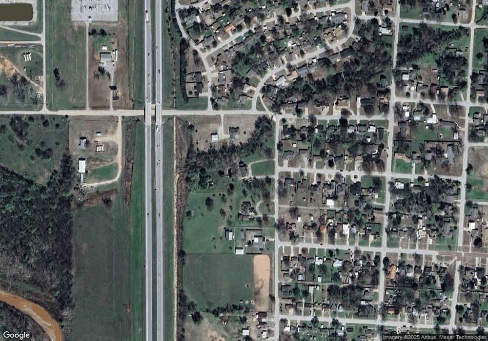
Map
Nearby Homes
- 832 W Adams St
- 819 W Adams St
- 24956 Norte Rd
- 922 Blue Bird Terrace
- 1233 S Brook Dr
- 1216 S Brook Dr
- 1228 S Brook Dr
- 1229 Meadow Brook Dr
- 1225 Meadow Brook Dr
- 1213 Meadow Brook Dr
- 1217 Meadow Brook Dr
- 941 Blue Bird Terrace
- 628 W Main St
- 517 Bob White Dr
- 0 State Highway 74
- 801 W Van Buren St
- 515 W Jackson St
- 515 S Lester Ln
- 0000 Jackson St
- 300 W Monroe St
- 1004 W Adams St
- 115 N 10th Ave
- 128 N 10th Ave
- 829 W Washington St
- 830 W Washington St
- 827 W Washington St
- 301 Sleepy Hollow St
- 835 W Main St
- 1115 W Adams St
- 826 W Washington St
- 826 W Washington St
- 825 W Washington St
- 831 W Main St
- 304 Sleepy Hollow St
- 821 W Washington St
- 303 Sleepy Hollow St
- 822 W Washington St
- 303 Sunset Dr
- 823 W Adams St