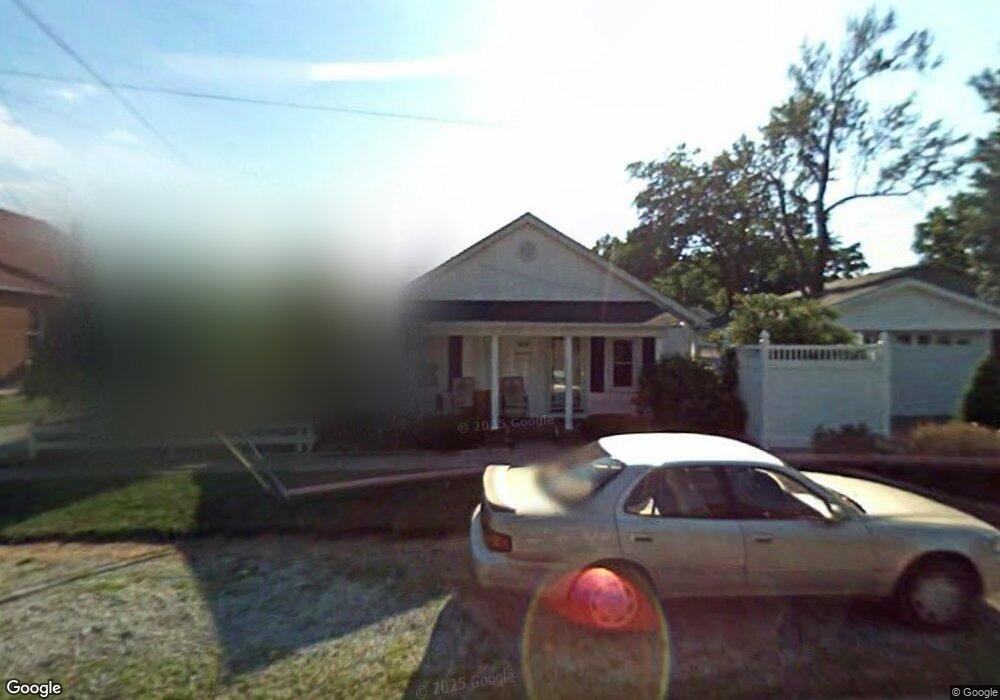
201 N 6th St West Point, KY 40177
Estimated Value: $80,000 - $121,000
2
Beds
1
Bath
1,008
Sq Ft
$103/Sq Ft
Est. Value
About This Home
This home is located at 201 N 6th St, West Point, KY 40177 and is currently estimated at $103,945, approximately $103 per square foot. 201 N 6th St is a home located in Hardin County with nearby schools including West Point Elementary School, Nichols Elementary School, and Bullitt Lick Middle School.
Ownership History
Date
Name
Owned For
Owner Type
Purchase Details
Closed on
Apr 9, 2005
Sold by
Board Rodney and Board Deborah A
Bought by
Board Rodney and Board Deborah A
Current Estimated Value
Home Financials for this Owner
Home Financials are based on the most recent Mortgage that was taken out on this home.
Original Mortgage
$72,864
Interest Rate
5.88%
Mortgage Type
Purchase Money Mortgage
Create a Home Valuation Report for This Property
The Home Valuation Report is an in-depth analysis detailing your home's value as well as a comparison with similar homes in the area
Home Values in the Area
Average Home Value in this Area
Purchase History
| Date | Buyer | Sale Price | Title Company |
|---|---|---|---|
| Board Rodney | -- | None Available |
Source: Public Records
Mortgage History
| Date | Status | Borrower | Loan Amount |
|---|---|---|---|
| Closed | Board Rodney | $72,864 |
Source: Public Records
Tax History Compared to Growth
Tax History
| Year | Tax Paid | Tax Assessment Tax Assessment Total Assessment is a certain percentage of the fair market value that is determined by local assessors to be the total taxable value of land and additions on the property. | Land | Improvement |
|---|---|---|---|---|
| 2024 | $156 | $58,600 | $3,600 | $55,000 |
| 2023 | $156 | $58,600 | $3,600 | $55,000 |
| 2022 | $327 | $58,600 | $3,600 | $55,000 |
| 2021 | $240 | $58,600 | $3,600 | $55,000 |
| 2020 | $156 | $58,600 | $3,600 | $55,000 |
| 2019 | $0 | $19,300 | $0 | $0 |
| 2018 | $369 | $21,000 | $0 | $0 |
| 2017 | $139 | $7,900 | $0 | $0 |
| 2016 | $0 | $8,600 | $0 | $0 |
| 2015 | $786 | $8,600 | $0 | $0 |
| 2012 | -- | $45,500 | $0 | $0 |
Source: Public Records
Map
Nearby Homes
- 409 Elm St
- 209 1/2 S 6th St
- Lot 3 Rons Way
- 110 S 14th St
- 16810 Abbotts Beach Rd
- 15520 Dixie Hwy
- 10700 Rabbit Hash Rd SE
- 294 Cupio Ln
- 7013 Shipley Ln
- 14013 Darwin Blvd
- 14010 Dixie Hwy
- 7309 Rainbow Dr
- 7203 Dunkirk Ln
- 13900 Beeston Blvd
- 13912 Dixie Hwy
- 7009 Nathan Hale Way
- 6904 Betsy Ross Dr
- 503 S Main St
- 13620 Dixie Hwy
- 13606 Kinross Blvd