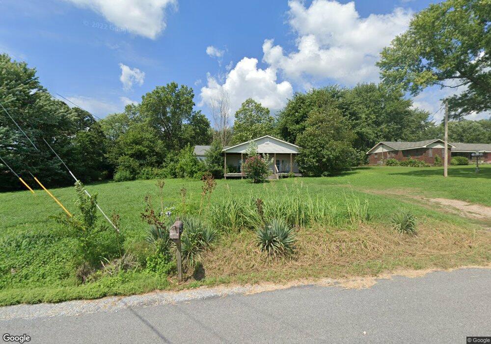
201 N Edmondson Rd Gentry, AR 72734
Estimated Value: $287,000 - $300,000
Studio
1
Bath
1,490
Sq Ft
$197/Sq Ft
Est. Value
About This Home
This home is located at 201 N Edmondson Rd, Gentry, AR 72734 and is currently estimated at $293,639, approximately $197 per square foot. 201 N Edmondson Rd is a home located in Benton County with nearby schools including Gentry Intermediate School, Gentry Primary School, and Gentry Middle School.
Ownership History
Date
Name
Owned For
Owner Type
Purchase Details
Closed on
Oct 25, 2000
Bought by
Carter
Current Estimated Value
Purchase Details
Closed on
Aug 28, 2000
Bought by
Hud
Purchase Details
Closed on
Jul 27, 2000
Bought by
Bank Of Oklahoma Na
Purchase Details
Closed on
Jan 2, 1997
Bought by
Hampton
Purchase Details
Closed on
Aug 10, 1988
Bought by
Speer
Purchase Details
Closed on
Dec 8, 1986
Bought by
Selleck
Purchase Details
Closed on
Jul 12, 1979
Bought by
Wilkins
Create a Home Valuation Report for This Property
The Home Valuation Report is an in-depth analysis detailing your home's value as well as a comparison with similar homes in the area
Home Values in the Area
Average Home Value in this Area
Purchase History
| Date | Buyer | Sale Price | Title Company |
|---|---|---|---|
| Carter | -- | -- | |
| Hud | -- | -- | |
| Bank Of Oklahoma Na | -- | -- | |
| Hampton | $70,000 | -- | |
| Speer | $16,000 | -- | |
| Selleck | $20,000 | -- | |
| Wilkins | $20,000 | -- |
Source: Public Records
Tax History
| Year | Tax Paid | Tax Assessment Tax Assessment Total Assessment is a certain percentage of the fair market value that is determined by local assessors to be the total taxable value of land and additions on the property. | Land | Improvement |
|---|---|---|---|---|
| 2025 | $1,201 | $47,734 | $24,850 | $22,884 |
| 2024 | $1,134 | $47,734 | $24,850 | $22,884 |
| 2023 | $1,080 | $28,830 | $14,200 | $14,630 |
| 2022 | $714 | $28,830 | $14,200 | $14,630 |
| 2021 | $662 | $28,830 | $14,200 | $14,630 |
| 2020 | $617 | $17,380 | $6,390 | $10,990 |
| 2019 | $579 | $17,380 | $6,390 | $10,990 |
| 2018 | $566 | $17,380 | $6,390 | $10,990 |
| 2017 | $490 | $17,380 | $6,390 | $10,990 |
| 2016 | $490 | $17,380 | $6,390 | $10,990 |
| 2015 | $721 | $13,040 | $4,260 | $8,780 |
| 2014 | $371 | $13,040 | $4,260 | $8,780 |
Source: Public Records
Map
Nearby Homes
- 00 Highway 12
- 252 S Eastern Ave
- 190 Allen Ave
- 19339 Shankle Rd
- 19161 Old Springtown Rd
- 9.09 Acres E 3rd St Hwy 12
- 801 E 1st St Unit 801, 803, 805, 807
- 18955 Shankle Rd
- 2009 Morgan Cir
- 113 S Rust Ave
- 817 Brook St
- 1736 Edens St
- 1729 Pittman St
- 1700 Edens St
- 1728 Edens St
- 1724 Edens St
- 1728 Pittman St
- 1704 Edens St
- 1720 Edens St
- 1708 Edens St
- 175 N Edmondson Rd
- 0 E Edmondson St Unit 412165
- Xxx Edmondson Rd
- 0 E Edmondson St Unit 611774
- TBD S Edmondson Rd
- 0 E Edmondson St Unit 641060
- 205 N Edmondson Rd
- 1697 Crawford St
- 167 N Edmondson Rd
- 1431 Crawford St
- 1417 Crawford St
- 320 N Robin Rd
- 1401 Crawford St
- 0 Edmondson Road T 4
- 0 Edmondson Road T 2
- 0 Edmondson Road T 5
- TBD Tract 2 Edmondson Rd
- TBD Tract 3 Edmondson Rd
- TBD Tract 4 Edmondson Rd
- TBD Tract 5 Edmondson Rd
Your Personal Tour Guide
Ask me questions while you tour the home.