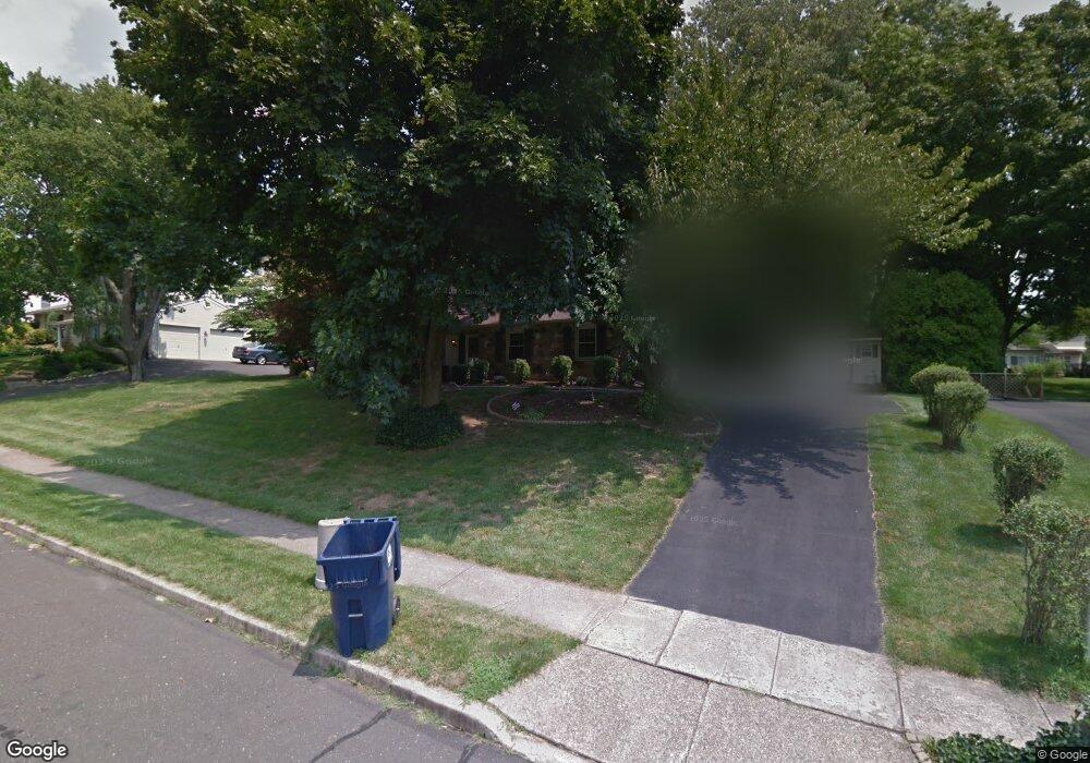
201 N Elm Ave Newtown, PA 18940
Estimated Value: $677,783 - $825,000
3
Beds
3
Baths
1,420
Sq Ft
$537/Sq Ft
Est. Value
About This Home
This home is located at 201 N Elm Ave, Newtown, PA 18940 and is currently estimated at $763,196, approximately $537 per square foot. 201 N Elm Ave is a home located in Bucks County with nearby schools including Goodnoe Elementary School, Newtown Middle School, and Council Rock High School North.
Ownership History
Date
Name
Owned For
Owner Type
Purchase Details
Closed on
Aug 17, 2017
Sold by
Schull Charles D and Schull Marcia
Bought by
Eder Jeffrey and Cutler Melanie
Current Estimated Value
Home Financials for this Owner
Home Financials are based on the most recent Mortgage that was taken out on this home.
Original Mortgage
$414,000
Outstanding Balance
$346,101
Interest Rate
4.03%
Mortgage Type
New Conventional
Estimated Equity
$417,095
Purchase Details
Closed on
Jan 31, 1973
Bought by
Scull Charles D Marcia
Create a Home Valuation Report for This Property
The Home Valuation Report is an in-depth analysis detailing your home's value as well as a comparison with similar homes in the area
Home Values in the Area
Average Home Value in this Area
Purchase History
| Date | Buyer | Sale Price | Title Company |
|---|---|---|---|
| Eder Jeffrey | $460,000 | Pennsylvania Abstract Co | |
| Scull Charles D Marcia | -- | -- |
Source: Public Records
Mortgage History
| Date | Status | Borrower | Loan Amount |
|---|---|---|---|
| Open | Eder Jeffrey | $414,000 |
Source: Public Records
Tax History
| Year | Tax Paid | Tax Assessment Tax Assessment Total Assessment is a certain percentage of the fair market value that is determined by local assessors to be the total taxable value of land and additions on the property. | Land | Improvement |
|---|---|---|---|---|
| 2025 | $6,576 | $35,960 | $13,280 | $22,680 |
| 2024 | $6,576 | $35,960 | $13,280 | $22,680 |
| 2023 | $6,371 | $35,960 | $13,280 | $22,680 |
| 2022 | $6,311 | $35,960 | $13,280 | $22,680 |
| 2021 | $6,110 | $35,960 | $13,280 | $22,680 |
| 2020 | $5,969 | $35,960 | $13,280 | $22,680 |
| 2019 | $5,819 | $35,960 | $13,280 | $22,680 |
| 2018 | $5,714 | $35,960 | $13,280 | $22,680 |
| 2017 | $5,546 | $35,960 | $13,280 | $22,680 |
| 2016 | $5,546 | $35,960 | $13,280 | $22,680 |
| 2015 | -- | $35,960 | $13,280 | $22,680 |
| 2014 | -- | $35,960 | $13,280 | $22,680 |
Source: Public Records
Map
Nearby Homes
- 226 Andrew Dr
- 313 Washington Ave
- 21 S Lincoln Ave Unit 10
- 367 Merion Place
- 206 Paxon Aly Unit 51
- 272 Stanford Place
- 32 Eaton Ct Unit B
- 17 Essex Place
- 111 S State St
- 25 Independence Place
- 22 Penn St
- 113 Thorton Ln
- 18 Penn St
- 113 Thornton
- 25 Essex Place
- 4 Independence Place
- 203 Cliveden Dr
- 297 Cliveden Dr
- 1 Denton Cir
- 35 David Dr
Your Personal Tour Guide
Ask me questions while you tour the home.