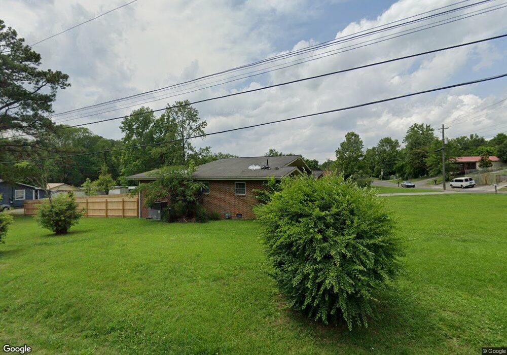
201 N Grade Dr Dalton, GA 30721
Estimated Value: $186,000 - $243,000
--
Bed
--
Bath
1,468
Sq Ft
$143/Sq Ft
Est. Value
About This Home
This home is located at 201 N Grade Dr, Dalton, GA 30721 and is currently estimated at $209,267, approximately $142 per square foot. 201 N Grade Dr is a home with nearby schools including Roan Elementary School, Dalton Middle School, and Dalton High School.
Ownership History
Date
Name
Owned For
Owner Type
Purchase Details
Closed on
Dec 28, 2015
Sold by
Spraggins Bettye
Bought by
Broome Alisha Ann and Broome Phyllis Yvonne
Current Estimated Value
Home Financials for this Owner
Home Financials are based on the most recent Mortgage that was taken out on this home.
Original Mortgage
$103,378
Outstanding Balance
$81,186
Interest Rate
3.5%
Mortgage Type
FHA
Estimated Equity
$128,081
Purchase Details
Closed on
Aug 1, 1990
Bought by
Spraggins Bettye G
Create a Home Valuation Report for This Property
The Home Valuation Report is an in-depth analysis detailing your home's value as well as a comparison with similar homes in the area
Home Values in the Area
Average Home Value in this Area
Purchase History
| Date | Buyer | Sale Price | Title Company |
|---|---|---|---|
| Broome Alisha Ann | $115,000 | -- | |
| Spraggins Bettye G | $57,000 | -- |
Source: Public Records
Mortgage History
| Date | Status | Borrower | Loan Amount |
|---|---|---|---|
| Open | Broome Alisha Ann | $103,378 |
Source: Public Records
Tax History Compared to Growth
Tax History
| Year | Tax Paid | Tax Assessment Tax Assessment Total Assessment is a certain percentage of the fair market value that is determined by local assessors to be the total taxable value of land and additions on the property. | Land | Improvement |
|---|---|---|---|---|
| 2024 | $1,554 | $80,688 | $8,400 | $72,288 |
| 2023 | $1,554 | $48,098 | $5,400 | $42,698 |
| 2022 | $972 | $35,624 | $5,400 | $30,224 |
| 2021 | $974 | $35,624 | $5,400 | $30,224 |
| 2020 | $1,000 | $35,624 | $5,400 | $30,224 |
| 2019 | $1,027 | $35,624 | $5,400 | $30,224 |
| 2018 | $1,037 | $35,624 | $5,400 | $30,224 |
| 2017 | $992 | $35,624 | $5,400 | $30,224 |
| 2016 | $929 | $33,789 | $6,300 | $27,489 |
| 2014 | $886 | $33,789 | $6,300 | $27,489 |
| 2013 | -- | $33,788 | $6,300 | $27,488 |
Source: Public Records
Map
Nearby Homes
- 1407 Stacy Dr
- 0 Dogwood Dr
- 0 Robinwood Dr
- 1118 Dozier St
- 301B Fields Ave
- 311 Shady Ln
- 303 Janice St
- 204 N Bogle St
- 825 Martin Luther King jr Blvd
- 0 Underwood St Unit 129860
- 502 E Woodland Dr
- 606 Virginia Ave
- 533 Underwood St
- 711 E Morris St
- 1902 Bartenfield Dr
- 432 4th Ave
- 514 Sheridan Ave
- 503 Harris St
- 519 Abigail St
- 540 Stillwood Dr
- 203 N Grade Dr
- 221 S Grade Dr
- 205 N Grade Dr
- 200 N Grade Dr
- 204 N Grade Dr
- 202 N Grade Dr
- 206 N Grade Dr
- 1313 Herbert St
- 103 N Grade Dr
- 1300 Martin Luther King jr Blvd
- 1304 Martin Luther King jr Blvd
- 427 SE Burgess Dr
- 1300 Martin Luther King jr Blvd
- 1221 Hair St
- 1220 Hair St
- 1306 Martin Luther King jr Blvd
- 1314 Herbert St
- 1306 Martin Luther King Junior Blvd
- 1306 Martin Luther King jr Blvd
- 1308 Martin Luther King jr Blvd