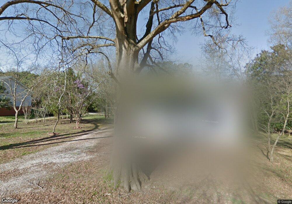
201 N High St Waxhaw, NC 28173
Estimated Value: $300,000 - $423,000
2
Beds
1
Bath
1,545
Sq Ft
$228/Sq Ft
Est. Value
About This Home
This home is located at 201 N High St, Waxhaw, NC 28173 and is currently estimated at $352,966, approximately $228 per square foot. 201 N High St is a home located in Union County with nearby schools including Waxhaw Elementary School, Parkwood Middle School, and Parkwood High School.
Ownership History
Date
Name
Owned For
Owner Type
Purchase Details
Closed on
Mar 24, 2006
Sold by
Peterson Richard B and Peterson Linda A
Bought by
Fitzpatrick Alan S and Fitzpatrick Lisa H
Current Estimated Value
Home Financials for this Owner
Home Financials are based on the most recent Mortgage that was taken out on this home.
Original Mortgage
$82,500
Outstanding Balance
$47,856
Interest Rate
6.62%
Mortgage Type
Fannie Mae Freddie Mac
Estimated Equity
$305,110
Purchase Details
Closed on
Apr 5, 2005
Sold by
Peterson Ruth Ann
Bought by
Peterson Richard B
Create a Home Valuation Report for This Property
The Home Valuation Report is an in-depth analysis detailing your home's value as well as a comparison with similar homes in the area
Home Values in the Area
Average Home Value in this Area
Purchase History
| Date | Buyer | Sale Price | Title Company |
|---|---|---|---|
| Fitzpatrick Alan S | $110,000 | None Available | |
| Peterson Richard B | -- | -- |
Source: Public Records
Mortgage History
| Date | Status | Borrower | Loan Amount |
|---|---|---|---|
| Open | Fitzpatrick Alan S | $82,500 |
Source: Public Records
Tax History Compared to Growth
Tax History
| Year | Tax Paid | Tax Assessment Tax Assessment Total Assessment is a certain percentage of the fair market value that is determined by local assessors to be the total taxable value of land and additions on the property. | Land | Improvement |
|---|---|---|---|---|
| 2024 | $2,927 | $285,500 | $53,500 | $232,000 |
| 2023 | $2,640 | $260,100 | $53,500 | $206,600 |
| 2022 | $1,689 | $166,400 | $53,500 | $112,900 |
| 2021 | $1,686 | $166,400 | $53,500 | $112,900 |
| 2020 | $854 | $108,950 | $22,050 | $86,900 |
| 2019 | $1,276 | $108,950 | $22,050 | $86,900 |
| 2018 | $856 | $108,950 | $22,050 | $86,900 |
| 2017 | $1,289 | $109,000 | $22,100 | $86,900 |
| 2016 | $1,267 | $108,950 | $22,050 | $86,900 |
| 2015 | $888 | $108,950 | $22,050 | $86,900 |
| 2014 | $775 | $110,400 | $45,550 | $64,850 |
Source: Public Records
Map
Nearby Homes
- 1045 Maxwell Ct Unit 10
- 1040 Maxwell Ct Unit 19
- 508 S Jackson Ave
- 8215 N Carolina 75
- 316 Anne Ave
- 516 N Broome St
- 333 Anne Ave
- 327 Rehobeth Rd
- 305 Mckibben St
- 403 Old Town Village Rd
- 309 Old Town Village Rd
- 1033 Bandon Dr
- 639 Boxcar Bend
- Duncan Plan at Old Town Village
- Wilson Plan at Old Town Village
- Price Plan at Old Town Village
- Hudson Plan at Old Town Village
- 1037 Bandon Dr
- 1029 Bandon Dr
- 1025 Bandon Dr
- 199 N High St
- 504 W North Main St
- 201 N Broad St
- 500 W North Main St
- 400 W Price St
- 215 N Broad St
- 500 W North Main St
- 00000 Rehobeth Rd
- 00 Rehobeth Rd
- 0000 Rehobeth Rd
- 000 Rehobeth Rd
- 01 Rehobeth Rd
- 6ACLOT Rehobeth Rd
- 500 Front St
- 24 Rehobeth Rd
- 301 N Broad St
- 616 W North Main St
- 200 Peyton Ct
- 204 Peyton Ct
