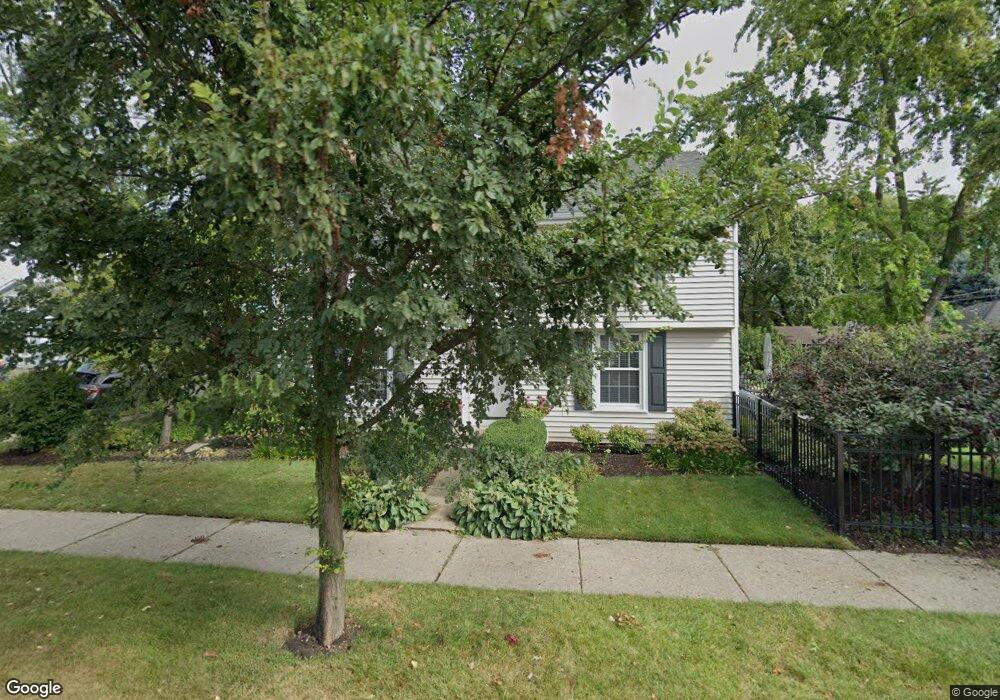
201 N Knight Ave Park Ridge, IL 60068
Estimated Value: $558,000 - $613,000
3
Beds
3
Baths
1,650
Sq Ft
$353/Sq Ft
Est. Value
About This Home
This home is located at 201 N Knight Ave, Park Ridge, IL 60068 and is currently estimated at $582,164, approximately $352 per square foot. 201 N Knight Ave is a home located in Cook County with nearby schools including George B Carpenter Elementary School, Lincoln Middle School, and Maine South High School.
Ownership History
Date
Name
Owned For
Owner Type
Purchase Details
Closed on
Mar 30, 2007
Sold by
Howard Lawrence J and Howard Jamie F
Bought by
Smucker Matthew J and Smucker Kristina L
Current Estimated Value
Home Financials for this Owner
Home Financials are based on the most recent Mortgage that was taken out on this home.
Original Mortgage
$364,000
Outstanding Balance
$220,689
Interest Rate
6.2%
Mortgage Type
Purchase Money Mortgage
Estimated Equity
$361,475
Create a Home Valuation Report for This Property
The Home Valuation Report is an in-depth analysis detailing your home's value as well as a comparison with similar homes in the area
Home Values in the Area
Average Home Value in this Area
Purchase History
| Date | Buyer | Sale Price | Title Company |
|---|---|---|---|
| Smucker Matthew J | $455,000 | Freedom Title Corp |
Source: Public Records
Mortgage History
| Date | Status | Borrower | Loan Amount |
|---|---|---|---|
| Open | Smucker Matthew J | $364,000 |
Source: Public Records
Tax History Compared to Growth
Tax History
| Year | Tax Paid | Tax Assessment Tax Assessment Total Assessment is a certain percentage of the fair market value that is determined by local assessors to be the total taxable value of land and additions on the property. | Land | Improvement |
|---|---|---|---|---|
| 2024 | $5,537 | $18,700 | $4,063 | $14,637 |
| 2023 | $5,292 | $22,061 | $4,063 | $17,998 |
| 2022 | $5,292 | $22,061 | $4,063 | $17,998 |
| 2021 | $3,839 | $14,288 | $2,656 | $11,632 |
| 2020 | $3,941 | $15,045 | $2,656 | $12,389 |
| 2019 | $4,042 | $17,223 | $2,656 | $14,567 |
| 2018 | $4,589 | $17,754 | $2,343 | $15,411 |
| 2017 | $5,053 | $19,420 | $2,343 | $17,077 |
| 2016 | $4,986 | $19,420 | $2,343 | $17,077 |
| 2015 | $4,013 | $14,324 | $2,031 | $12,293 |
| 2014 | $3,942 | $14,324 | $2,031 | $12,293 |
| 2013 | $3,726 | $14,324 | $2,031 | $12,293 |
Source: Public Records
Map
Nearby Homes
- 1301 W Touhy Ave Unit 315
- 1210 Elm St
- 1228 Elm St
- 408 N Seminary Ave
- 241 N Hamlin Ave
- 103 N Clifton Ave
- 445 N Northwest Hwy
- 812 Elm St
- 421 Leonard St
- 601 N Broadway Ave
- 722 N Northwest Hwy Unit A
- 829 Hastings St
- 300 Meacham Ave
- 747 N Northwest Hwy
- 751 N Northwest Hwy
- 2121 W Sibley St
- 170 N Northwest Hwy Unit 407
- 170 N Northwest Hwy Unit 410
- 428 S Clifton Ave
- 776 N Northwest Hwy
- 201 N Knight Ave
- 207 N Knight Ave
- 123 N Knight Ave
- 209 N Knight Ave
- 119 N Knight Ave
- 202 N Lincoln Ave
- 215 N Knight Ave
- 206 N Lincoln Ave
- 120 N Lincoln Ave
- 210 N Lincoln Ave
- 115 N Knight Ave
- 200 N Knight Ave
- 116 N Lincoln Ave
- 217 N Knight Ave
- 204 N Knight Ave
- 214 N Lincoln Ave
- 120 N Knight Ave
- 120 N Knight Ave
- 113 N Knight Ave
- 210 N Knight Ave