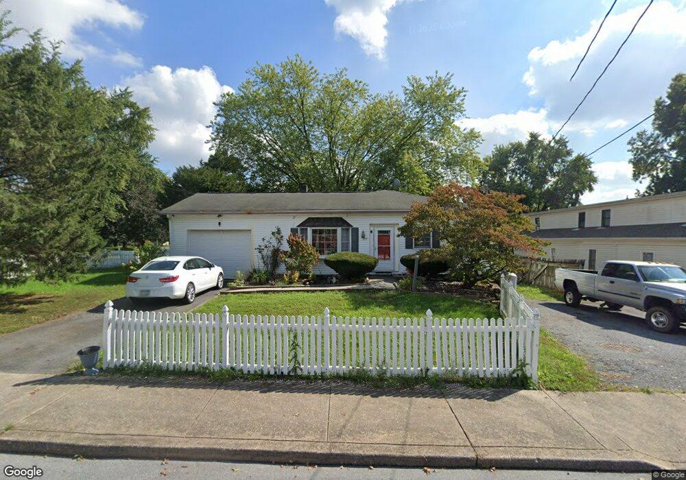
201 N Locust St Lititz, PA 17543
Estimated Value: $348,000 - $370,000
4
Beds
1
Bath
1,568
Sq Ft
$228/Sq Ft
Est. Value
About This Home
This home is located at 201 N Locust St, Lititz, PA 17543 and is currently estimated at $356,796, approximately $227 per square foot. 201 N Locust St is a home located in Lancaster County with nearby schools including Warwick Senior High School, Lititz Christian School, and Linden Hall.
Ownership History
Date
Name
Owned For
Owner Type
Purchase Details
Closed on
Aug 30, 2011
Sold by
Afari Lourdes A and Afari Humphrey Seth
Bought by
Afari Lourdes A and Afari Humphrey Seth
Current Estimated Value
Home Financials for this Owner
Home Financials are based on the most recent Mortgage that was taken out on this home.
Original Mortgage
$119,200
Outstanding Balance
$82,634
Interest Rate
4.52%
Mortgage Type
New Conventional
Estimated Equity
$274,162
Purchase Details
Closed on
Apr 23, 2002
Sold by
Correa Julio Serrano
Bought by
Vega Lourdes A
Purchase Details
Closed on
Sep 25, 2000
Sold by
Brandt Dean C and Brandt Dorene E
Bought by
Vega Lourdes A and Correa Julio Serrano
Home Financials for this Owner
Home Financials are based on the most recent Mortgage that was taken out on this home.
Original Mortgage
$85,500
Interest Rate
7.94%
Create a Home Valuation Report for This Property
The Home Valuation Report is an in-depth analysis detailing your home's value as well as a comparison with similar homes in the area
Home Values in the Area
Average Home Value in this Area
Purchase History
| Date | Buyer | Sale Price | Title Company |
|---|---|---|---|
| Afari Lourdes A | -- | None Available | |
| Vega Lourdes A | $64,691 | -- | |
| Vega Lourdes A | $95,000 | -- |
Source: Public Records
Mortgage History
| Date | Status | Borrower | Loan Amount |
|---|---|---|---|
| Open | Afari Lourdes A | $119,200 | |
| Previous Owner | Vega Lourdes A | $85,500 |
Source: Public Records
Tax History Compared to Growth
Tax History
| Year | Tax Paid | Tax Assessment Tax Assessment Total Assessment is a certain percentage of the fair market value that is determined by local assessors to be the total taxable value of land and additions on the property. | Land | Improvement |
|---|---|---|---|---|
| 2025 | $3,886 | $171,800 | $57,500 | $114,300 |
| 2024 | $3,886 | $171,800 | $57,500 | $114,300 |
| 2023 | $3,871 | $171,800 | $57,500 | $114,300 |
| 2022 | $3,656 | $171,800 | $57,500 | $114,300 |
| 2021 | $3,656 | $171,800 | $57,500 | $114,300 |
| 2020 | $3,656 | $171,800 | $57,500 | $114,300 |
| 2019 | $3,656 | $171,800 | $57,500 | $114,300 |
| 2018 | $2,698 | $171,800 | $57,500 | $114,300 |
| 2017 | $3,943 | $145,600 | $44,600 | $101,000 |
| 2016 | $3,943 | $145,600 | $44,600 | $101,000 |
| 2015 | $922 | $145,600 | $44,600 | $101,000 |
| 2014 | $2,756 | $145,600 | $44,600 | $101,000 |
Source: Public Records
Map
Nearby Homes
- 510 Bluebird Rd
- 501 E New St
- 210 Noble St
- 616 Brunnerville Rd
- 339 Cambridge Ln
- 128 E New St
- 203 N Cedar St
- 601 E Main St
- 425 Cardinal Rd
- 131 N Cedar St
- 129 Forney Dr
- 34 E Market St
- 21 Silver Creek Rd
- 319 N Broad St
- 333 Cameron Ln Unit DEVONSHIRE
- 333 Cameron Ln Unit NOTTINGHAM
- 333 Cameron Ln Unit SAVANNAH
- 333 Cameron Ln Unit HAWTHORNE
- 333 Cameron Ln Unit SEBASTIAN
- LOT 12 Thaton Rd