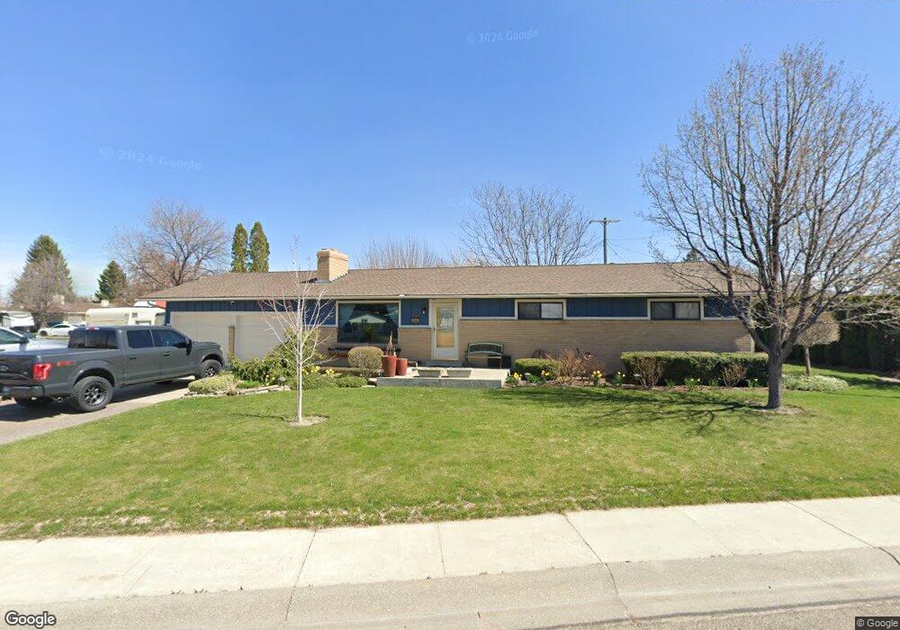
201 Nancy Dr Burley, ID 83318
Estimated Value: $343,000 - $362,000
4
Beds
2
Baths
2,184
Sq Ft
$161/Sq Ft
Est. Value
About This Home
This home is located at 201 Nancy Dr, Burley, ID 83318 and is currently estimated at $352,276, approximately $161 per square foot. 201 Nancy Dr is a home located in Cassia County with nearby schools including White Pine Elementary School, Dworshak Elementary School, and Burley Junior High School.
Ownership History
Date
Name
Owned For
Owner Type
Purchase Details
Closed on
Oct 21, 2011
Sold by
Beaver Bobby Dean
Bought by
Funk Lisa and Correa Patricia D
Current Estimated Value
Home Financials for this Owner
Home Financials are based on the most recent Mortgage that was taken out on this home.
Original Mortgage
$70,000
Interest Rate
4.02%
Mortgage Type
Purchase Money Mortgage
Purchase Details
Closed on
Dec 28, 2007
Sold by
Barlow Rulon and Seedall Lori
Bought by
Funk Lisa and Correa Patricia D
Create a Home Valuation Report for This Property
The Home Valuation Report is an in-depth analysis detailing your home's value as well as a comparison with similar homes in the area
Purchase History
| Date | Buyer | Sale Price | Title Company |
|---|---|---|---|
| Funk Lisa | -- | Land Title & Escrow | |
| Funk Lisa | -- | None Available |
Source: Public Records
Mortgage History
| Date | Status | Borrower | Loan Amount |
|---|---|---|---|
| Closed | Funk Lisa | $70,000 | |
| Closed | Funk Lisa | $0 |
Source: Public Records
Tax History
| Year | Tax Paid | Tax Assessment Tax Assessment Total Assessment is a certain percentage of the fair market value that is determined by local assessors to be the total taxable value of land and additions on the property. | Land | Improvement |
|---|---|---|---|---|
| 2024 | $1,296 | $324,552 | $59,002 | $265,550 |
| 2023 | $1,685 | $324,982 | $59,002 | $265,980 |
| 2022 | $1,799 | $293,592 | $47,200 | $246,392 |
| 2021 | $1,644 | $236,370 | $34,965 | $201,405 |
| 2020 | $1,341 | $173,743 | $17,989 | $155,754 |
| 2019 | $1,315 | $168,191 | $16,971 | $151,220 |
| 2017 | $1,205 | $148,488 | $15,428 | $133,060 |
| 2016 | $1,168 | $144,197 | $15,428 | $128,769 |
| 2015 | $1,159 | $142,794 | $14,025 | $128,769 |
| 2014 | $1,142 | $142,794 | $14,025 | $128,769 |
| 2013 | $1,142 | $142,794 | $14,025 | $128,769 |
Source: Public Records
Map
Nearby Homes
- 321 Dennis Dr
- 201 E 27th St
- 450 E 27th St
- 431 Pratt Place
- 2608 Miller Ave
- 422 Parish Ct
- 642 Clear Springs St
- 2441 Dorchester Ave
- 410 E 24th St
- 2411 Bristol Ave
- 2401 Bristol Ave
- 2359 Bristol Ave
- 320 E 23rd Dr
- 2339 Bristol Ave
- 1100 Coventry Ln
- 550 Oxford St
- 2242 Almo Ave
- 262 Ferdinand Cir
- 3449 Hiland Ave
- 590 W 24th St
Your Personal Tour Guide
Ask me questions while you tour the home.