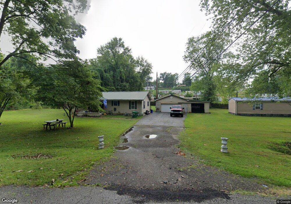
201 New Buckley Rd Ashland, KY 41102
Estimated Value: $71,000 - $150,000
--
Bed
--
Bath
1,153
Sq Ft
$97/Sq Ft
Est. Value
About This Home
This home is located at 201 New Buckley Rd, Ashland, KY 41102 and is currently estimated at $111,837, approximately $96 per square foot. 201 New Buckley Rd is a home located in Boyd County with nearby schools including Fairview Elementary School, Fairview High School, and Rose Hill Christian School.
Ownership History
Date
Name
Owned For
Owner Type
Purchase Details
Closed on
Apr 19, 2021
Sold by
Keesee Michael L and Keesee Kim
Bought by
Mullins Tammi Kaye
Current Estimated Value
Home Financials for this Owner
Home Financials are based on the most recent Mortgage that was taken out on this home.
Original Mortgage
$42,750
Outstanding Balance
$32,121
Interest Rate
3.05%
Mortgage Type
New Conventional
Estimated Equity
$79,716
Create a Home Valuation Report for This Property
The Home Valuation Report is an in-depth analysis detailing your home's value as well as a comparison with similar homes in the area
Home Values in the Area
Average Home Value in this Area
Purchase History
| Date | Buyer | Sale Price | Title Company |
|---|---|---|---|
| Mullins Tammi Kaye | $39,806 | None Listed On Document | |
| Mullins Tammi Kaye | $39,806 | None Available |
Source: Public Records
Mortgage History
| Date | Status | Borrower | Loan Amount |
|---|---|---|---|
| Open | Mullins Tammi Kaye | $42,750 | |
| Closed | Mullins Tammi Kaye | $42,750 |
Source: Public Records
Tax History Compared to Growth
Tax History
| Year | Tax Paid | Tax Assessment Tax Assessment Total Assessment is a certain percentage of the fair market value that is determined by local assessors to be the total taxable value of land and additions on the property. | Land | Improvement |
|---|---|---|---|---|
| 2024 | $603 | $39,800 | $10,000 | $29,800 |
| 2023 | $597 | $39,800 | $10,000 | $29,800 |
| 2022 | $597 | $39,800 | $10,000 | $29,800 |
| 2021 | $561 | $37,800 | $37,800 | $0 |
| 2020 | $572 | $37,800 | $37,800 | $0 |
| 2019 | $575 | $37,800 | $0 | $0 |
| 2018 | $572 | $37,800 | $0 | $0 |
| 2017 | $535 | $37,800 | $0 | $0 |
| 2016 | $501 | $37,800 | $37,800 | $0 |
| 2015 | $535 | $37,800 | $37,800 | $0 |
| 2012 | $473 | $37,800 | $37,800 | $0 |
Source: Public Records
Map
Nearby Homes
- 0 Roberts Dr Unit 58156
- 523 W New Buckley Rd
- 3200 Block Cogan St
- 219 Johnson Ave
- 2425-2427 Boone St
- 3449 13th St
- 2809 Cumberland Ave
- 2410 Boone St
- 0 Kirk St Unit 58915
- 0 Boone St
- 2660 Main St W
- 720 Blackburn Ave
- 460 Blackburn Ave
- 453 Blackburn Ave
- 152 Mcguire St
- 2720 Bruce Dr
- 4100 13th St
- 3511 Brenda St
- 4132 13th St
- 2232 Horne St
- 111 Mcknight St Unit WW
- 217 W New Buckley Rd
- 216 W New Buckley Rd
- 113 Mcknight St Unit WW
- 92 Mcknight St
- 80 Mcknight St
- 115 Mcknight St Unit WW
- 108 Mcknight St
- 3301 Hardeman Dr Unit WW
- 110 Mcknight St
- 218 New Buckley Rd
- 119 Mcknight St Unit WW
- 222 New Buckley Rd
- 222 New Buckley Rd
- 222 New Buckley Rd
- 222 New Buckley Rd
- 233 W New Buckley Rd Unit 235
- 911 Cherry Ln Unit WW
- 114 Mcknight St Unit WW
- 118 Mcknight St Unit WW