Estimated Value: $193,000 - $239,000
3
Beds
1
Bath
1,451
Sq Ft
$150/Sq Ft
Est. Value
About This Home
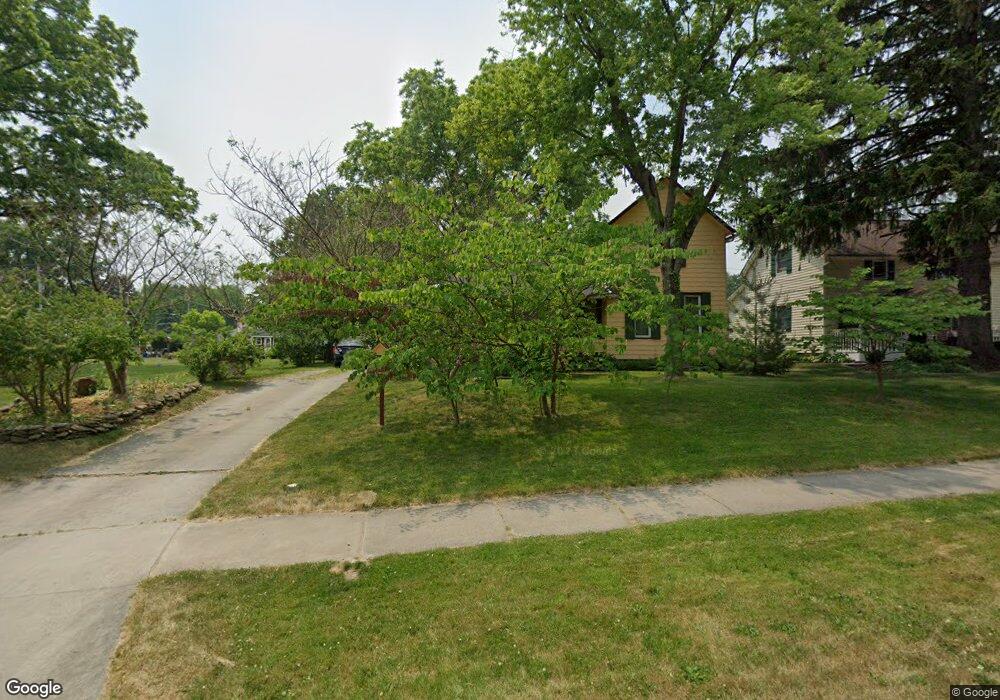
This home is located at 201 Nobottom Rd, Berea, OH 44017 and is currently estimated at $217,580, approximately $149 per square foot. 201 Nobottom Rd is a home located in Cuyahoga County with nearby schools including Grindstone Elementary School, Berea-Midpark Middle School, and Berea-Midpark High School.
Ownership History
Date
Name
Owned For
Owner Type
Purchase Details
Closed on
Nov 11, 2002
Sold by
Bollinger Joseph and Bollinger Marlene
Bought by
Kautenburger Kevin J and Boehme Reinhild F
Current Estimated Value
Home Financials for this Owner
Home Financials are based on the most recent Mortgage that was taken out on this home.
Original Mortgage
$120,500
Outstanding Balance
$50,769
Interest Rate
6.1%
Estimated Equity
$166,811
Purchase Details
Closed on
Mar 29, 1985
Sold by
Bollinger Joseph
Bought by
Bollinger Joseph
Purchase Details
Closed on
Aug 20, 1980
Sold by
Sandman Joseph M and Sandman Sandra E
Bought by
Bollinger Joseph
Purchase Details
Closed on
Jan 1, 1975
Bought by
Sandman Joseph M and Sandman Sandra E
Create a Home Valuation Report for This Property
The Home Valuation Report is an in-depth analysis detailing your home's value as well as a comparison with similar homes in the area
Home Values in the Area
Average Home Value in this Area
Purchase History
| Date | Buyer | Sale Price | Title Company |
|---|---|---|---|
| Kautenburger Kevin J | $141,800 | Midland Title Security Inc | |
| Bollinger Joseph | -- | -- | |
| Bollinger Joseph | $42,500 | -- | |
| Sandman Joseph M | -- | -- |
Source: Public Records
Mortgage History
| Date | Status | Borrower | Loan Amount |
|---|---|---|---|
| Open | Kautenburger Kevin J | $120,500 |
Source: Public Records
Tax History
| Year | Tax Paid | Tax Assessment Tax Assessment Total Assessment is a certain percentage of the fair market value that is determined by local assessors to be the total taxable value of land and additions on the property. | Land | Improvement |
|---|---|---|---|---|
| 2024 | $3,869 | $66,815 | $13,720 | $53,095 |
| 2023 | $3,619 | $52,400 | $11,690 | $40,710 |
| 2022 | $3,596 | $52,400 | $11,690 | $40,710 |
| 2021 | $3,566 | $52,400 | $11,690 | $40,710 |
| 2020 | $3,407 | $44,420 | $9,910 | $34,510 |
| 2019 | $3,316 | $126,900 | $28,300 | $98,600 |
| 2018 | $3,300 | $44,420 | $9,910 | $34,510 |
| 2017 | $3,319 | $41,480 | $8,440 | $33,040 |
| 2016 | $3,294 | $41,480 | $8,440 | $33,040 |
| 2015 | $3,276 | $41,480 | $8,440 | $33,040 |
| 2014 | $3,276 | $43,650 | $8,890 | $34,760 |
Source: Public Records
Map
Nearby Homes
- 487 Karen Dr
- 452 N Rocky River Dr
- 445 Berea St
- 428 Park Place
- 146 Marian Ln
- 379 Laurel Dr
- 93 W 5th Ave
- 160 Marian Ln Unit 6A
- 41 W 5th Ave
- 404 Crescent Dr
- 211 W Bridge St
- 209 Gibson St
- 725 Shakespeare Dr
- 216 Kraft St
- 628 Lindbergh Blvd
- 446 Redwood Dr
- 300 West St
- 287 Edgewood Dr
- 56 3rd Ave
- 47 Prospect St
Your Personal Tour Guide
Ask me questions while you tour the home.