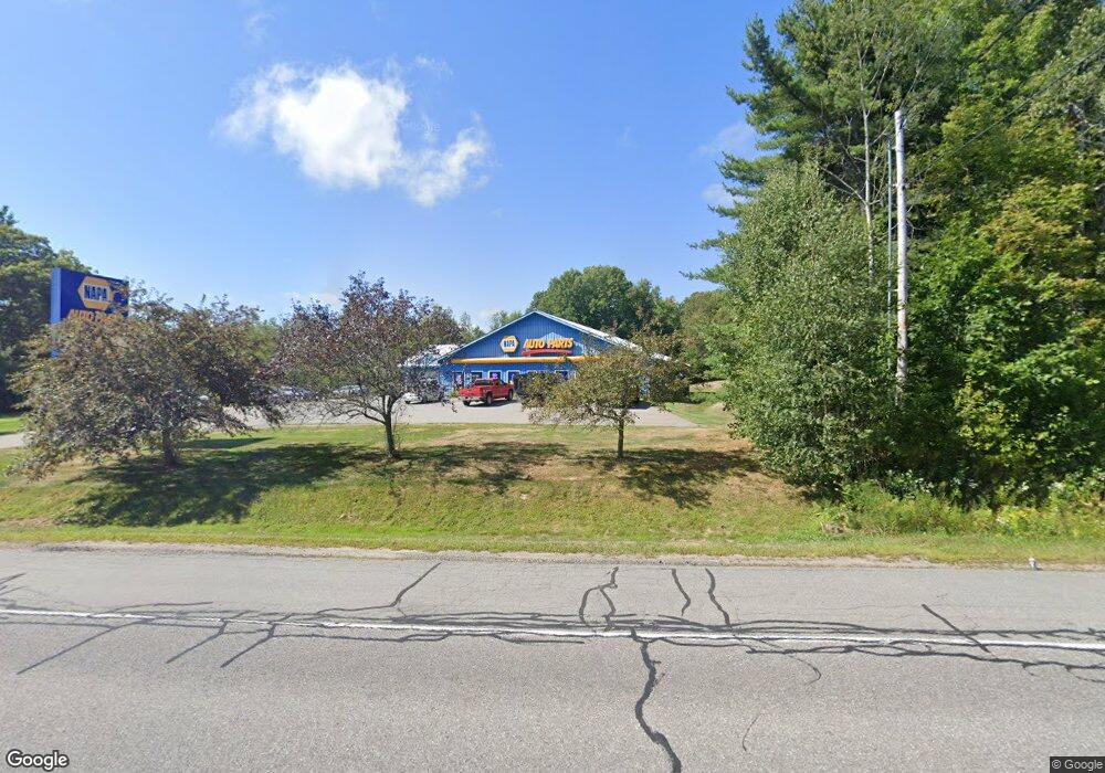
201 Northport Ave Belfast, ME 04915
--
Bed
--
Bath
7,000
Sq Ft
1.97
Acres
About This Home
This home is located at 201 Northport Ave, Belfast, ME 04915. 201 Northport Ave is a home located in Waldo County with nearby schools including Cornerspring Children's House and The School At Sweetser - Belfast.
Ownership History
Date
Name
Owned For
Owner Type
Purchase Details
Closed on
Jul 16, 2018
Sold by
Bayside Enterprises Inc
Bought by
Drinkwater Gary and Coombs Richard
Purchase Details
Closed on
Dec 20, 2017
Sold by
Bayside Enterprises Inc
Bought by
Boles Realty Llc
Home Financials for this Owner
Home Financials are based on the most recent Mortgage that was taken out on this home.
Original Mortgage
$500,000
Interest Rate
3.9%
Mortgage Type
Purchase Money Mortgage
Create a Home Valuation Report for This Property
The Home Valuation Report is an in-depth analysis detailing your home's value as well as a comparison with similar homes in the area
Home Values in the Area
Average Home Value in this Area
Purchase History
| Date | Buyer | Sale Price | Title Company |
|---|---|---|---|
| Drinkwater Gary | -- | -- | |
| Boles Realty Llc | -- | -- |
Source: Public Records
Mortgage History
| Date | Status | Borrower | Loan Amount |
|---|---|---|---|
| Previous Owner | Boles Realty Llc | $500,000 |
Source: Public Records
Tax History Compared to Growth
Tax History
| Year | Tax Paid | Tax Assessment Tax Assessment Total Assessment is a certain percentage of the fair market value that is determined by local assessors to be the total taxable value of land and additions on the property. | Land | Improvement |
|---|---|---|---|---|
| 2024 | $12,334 | $800,900 | $227,900 | $573,000 |
| 2023 | $9,353 | $465,300 | $161,900 | $303,400 |
| 2022 | $9,957 | $465,300 | $161,900 | $303,400 |
| 2021 | $10,237 | $465,300 | $161,900 | $303,400 |
| 2020 | $10,608 | $455,300 | $151,900 | $303,400 |
| 2019 | $10,426 | $455,300 | $151,900 | $303,400 |
| 2018 | $10,335 | $455,300 | $151,900 | $303,400 |
| 2017 | $10,475 | $478,300 | $174,900 | $303,400 |
| 2016 | $11,567 | $505,100 | $174,900 | $330,200 |
| 2015 | $11,314 | $505,100 | $174,900 | $330,200 |
| 2014 | $10,935 | $505,100 | $174,900 | $330,200 |
| 2013 | $10,506 | $505,100 | $174,900 | $330,200 |
Source: Public Records
Map
Nearby Homes
- 18 Bayside Dr
- 155 Bayside Dr
- 19 Glenview Ln
- 13 R W MacLeod Ln
- 75 Northport Ave
- 4 R W MacLeod Ln
- 11 Tozier St
- 208 Congress St
- 285 Northport Ave
- 48 Ocean
- 153 Cedar St
- 22 Salmond St
- Lot 7 Priscilla Ln
- 98 Bayview St
- 16 Cottage St
- L3,4,5,6,7 Final Subd Plan Sanderson Subd
- Lot 3 Congress St
- 102 Congress St
- 5 Whitetail St
- 6 Whitetail St
- 205 Northport Ave
- 198 Northport Ave
- 207 Northport Ave
- 190 Northport Ave
- 221 Northport Ave
- 192 Northport Ave
- 11 John Robinson Way
- 0 John Robinson Way Unit 880325
- 0 John Robinson Way Unit 954389
- 186 Northport Ave
- 191 Northport Ave
- 213 Northport Ave
- 216 Northport Ave
- 217 Northport Ave
- 49 Bayside Dr Unit 45
- 49 Bayside Dr
- 49 Bayside Dr
- 220 Northport Ave
- 220 Northport Avenue U S Route 1
- 220 Northport Ave~u S Rt 1 Ave