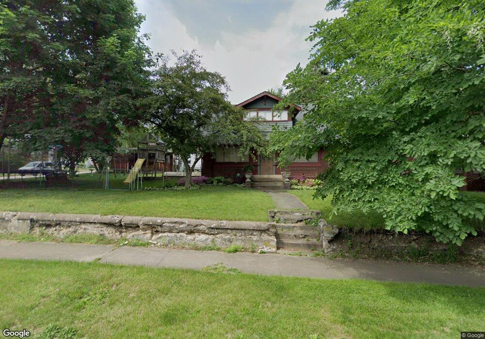
201 Norton Ave Barberton, OH 44203
North Barberton NeighborhoodEstimated Value: $80,000 - $160,000
--
Bed
--
Bath
--
Sq Ft
6,011
Sq Ft Lot
About This Home
This home is located at 201 Norton Ave, Barberton, OH 44203 and is currently estimated at $126,876. 201 Norton Ave is a home located in Summit County with nearby schools including Barberton Middle School, Barberton High School, and Imagine Akron Academy.
Ownership History
Date
Name
Owned For
Owner Type
Purchase Details
Closed on
Aug 25, 2000
Sold by
Porter Jennifer D
Bought by
Porter Andrew W
Current Estimated Value
Purchase Details
Closed on
Oct 24, 1997
Sold by
Graves Gregory A
Bought by
Porter Andrew W and Porter Jennifer D
Home Financials for this Owner
Home Financials are based on the most recent Mortgage that was taken out on this home.
Original Mortgage
$75,000
Outstanding Balance
$12,261
Interest Rate
7.65%
Mortgage Type
New Conventional
Estimated Equity
$114,615
Create a Home Valuation Report for This Property
The Home Valuation Report is an in-depth analysis detailing your home's value as well as a comparison with similar homes in the area
Home Values in the Area
Average Home Value in this Area
Purchase History
| Date | Buyer | Sale Price | Title Company |
|---|---|---|---|
| Porter Andrew W | -- | -- | |
| Porter Andrew W | $79,000 | -- |
Source: Public Records
Mortgage History
| Date | Status | Borrower | Loan Amount |
|---|---|---|---|
| Open | Porter Andrew W | $75,000 |
Source: Public Records
Tax History Compared to Growth
Tax History
| Year | Tax Paid | Tax Assessment Tax Assessment Total Assessment is a certain percentage of the fair market value that is determined by local assessors to be the total taxable value of land and additions on the property. | Land | Improvement |
|---|---|---|---|---|
| 2025 | $251 | $4,886 | $4,536 | $350 |
| 2024 | $251 | $4,886 | $4,536 | $350 |
| 2023 | $251 | $4,886 | $4,536 | $350 |
| 2022 | $196 | $3,315 | $2,965 | $350 |
| 2021 | $196 | $3,315 | $2,965 | $350 |
| 2020 | $192 | $3,320 | $2,970 | $350 |
| 2019 | $353 | $5,530 | $2,610 | $2,920 |
| 2018 | $348 | $5,530 | $2,610 | $2,920 |
| 2017 | $353 | $5,530 | $2,610 | $2,920 |
| 2016 | $354 | $5,530 | $2,610 | $2,920 |
| 2015 | $353 | $5,530 | $2,610 | $2,920 |
| 2014 | $351 | $5,530 | $2,610 | $2,920 |
| 2013 | $338 | $5,530 | $2,610 | $2,920 |
Source: Public Records
Map
Nearby Homes
- 613 Wooster Rd N
- 0 Wooster Rd N
- 217 W Summit St
- 320 Lincoln Ave Unit 322
- 412 Grandview Ave
- 39 Brown St
- 645 Madison Ave
- 46 Brown St
- 44 W Summit St
- 344 E Huston St
- 690 Saint Clair Ave
- 349 E Hopocan Ave
- 636 Wesleyan Ave
- 103 Mitchell St
- 357 E Paige Ave
- 30 W Hiram St
- 589 Highland Ave
- 387 4th St NW
- 818 N Summit St
- 146 Hermann St
- 201 Norton Ave
- 508 Parker Ave
- 195 Norton Ave
- 519 Parker Ave
- 202 Norton Ave
- 219 Norton Ave
- 523 Parker Ave
- 198 202 1/2 Norton Ave
- 198-202 1/2 Norton Ave
- 518 Parker Ave
- 187 Norton Ave
- 198 Norton Ave Unit 202
- 520 Parkview Ave
- 225 Norton Ave
- 527 Parker Ave
- 522 Parker Ave
- 524 Parkview Ave
- 526 Parker Ave
- 531 Parker Ave
- 229 Norton Ave