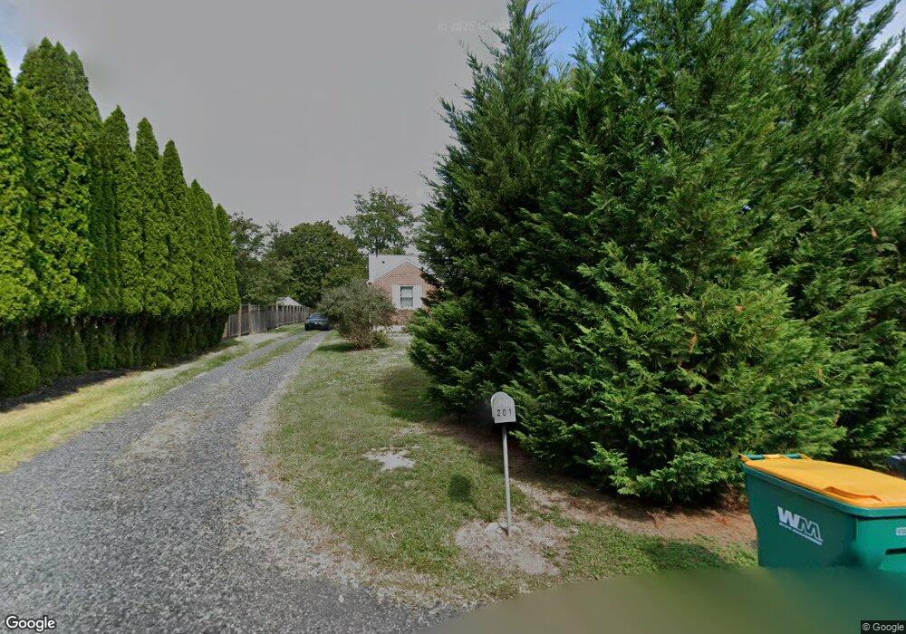
201 Old Morris Rd Lansdale, PA 19446
Estimated Value: $347,000 - $522,000
2
Beds
1
Bath
1,076
Sq Ft
$386/Sq Ft
Est. Value
About This Home
This home is located at 201 Old Morris Rd, Lansdale, PA 19446 and is currently estimated at $415,071, approximately $385 per square foot. 201 Old Morris Rd is a home located in Montgomery County with nearby schools including North Wales Elementary School, Pennbrook Middle School, and North Penn Senior High School.
Ownership History
Date
Name
Owned For
Owner Type
Purchase Details
Closed on
Nov 5, 2011
Sold by
Spencer Barbara A
Bought by
Moore Alysen
Current Estimated Value
Home Financials for this Owner
Home Financials are based on the most recent Mortgage that was taken out on this home.
Original Mortgage
$200,000
Outstanding Balance
$135,720
Interest Rate
3.92%
Estimated Equity
$279,351
Purchase Details
Closed on
Aug 7, 2009
Sold by
Rizzo Barbara A
Bought by
Spencer Barbara A
Purchase Details
Closed on
Aug 24, 2001
Sold by
Rizzo Barbara A
Bought by
Rizzo Barbara A
Purchase Details
Closed on
Oct 26, 1994
Sold by
Driesens Alice F
Bought by
Driesens Alice F and Rizzo Barbara A
Create a Home Valuation Report for This Property
The Home Valuation Report is an in-depth analysis detailing your home's value as well as a comparison with similar homes in the area
Home Values in the Area
Average Home Value in this Area
Purchase History
| Date | Buyer | Sale Price | Title Company |
|---|---|---|---|
| Moore Alysen | -- | None Available | |
| Spencer Barbara A | -- | None Available | |
| Rizzo Barbara A | -- | -- | |
| Driesens Alice F | -- | -- |
Source: Public Records
Mortgage History
| Date | Status | Borrower | Loan Amount |
|---|---|---|---|
| Open | Moore Alysen | $200,000 |
Source: Public Records
Tax History Compared to Growth
Tax History
| Year | Tax Paid | Tax Assessment Tax Assessment Total Assessment is a certain percentage of the fair market value that is determined by local assessors to be the total taxable value of land and additions on the property. | Land | Improvement |
|---|---|---|---|---|
| 2025 | $4,462 | $121,650 | $48,810 | $72,840 |
| 2024 | $4,462 | $121,650 | $48,810 | $72,840 |
| 2023 | $4,254 | $121,650 | $48,810 | $72,840 |
| 2022 | $4,103 | $121,650 | $48,810 | $72,840 |
| 2021 | $3,995 | $121,650 | $48,810 | $72,840 |
| 2020 | $3,891 | $121,650 | $48,810 | $72,840 |
| 2019 | $3,820 | $121,650 | $48,810 | $72,840 |
| 2018 | $3,819 | $121,650 | $48,810 | $72,840 |
| 2017 | $3,659 | $121,650 | $48,810 | $72,840 |
| 2016 | $3,612 | $121,650 | $48,810 | $72,840 |
| 2015 | $3,448 | $121,650 | $48,810 | $72,840 |
| 2014 | $3,448 | $121,650 | $48,810 | $72,840 |
Source: Public Records
Map
Nearby Homes
- 311 Primrose Dr
- 376 Hobson Place
- 388 Hobson Place
- 261 Goldenrod Dr
- 760 Audubon Dr
- 2501 Pond View Dr
- 426 Primrose Dr
- 1307 Lilac Ct
- 5403 Lilac Ct
- 6206 Lilac Ct
- 6103 Lilac Ct
- 4104 Lilac Ct
- 4103 Lilac Ct
- 4204 Lilac Ct
- 3106 Lilac Ct
- 1401 Oak Cir
- 105 Birkdale Dr Unit 641
- 560 Woodford Rd
- 234 Winged Foot Dr Unit 346
- 2099 Deep Meadow Ln