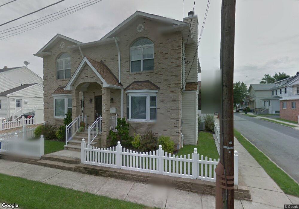
201 Paul St Lyndhurst, NJ 07071
Estimated Value: $874,761 - $973,000
--
Bed
--
Bath
2,542
Sq Ft
$359/Sq Ft
Est. Value
About This Home
This home is located at 201 Paul St, Lyndhurst, NJ 07071 and is currently estimated at $912,690, approximately $359 per square foot. 201 Paul St is a home located in Bergen County with nearby schools including Lyndhurst High School.
Ownership History
Date
Name
Owned For
Owner Type
Purchase Details
Closed on
Oct 13, 2009
Sold by
Morales Guillermo
Bought by
Benzenhoefer Lynda B and Fiore Bernadette A
Current Estimated Value
Home Financials for this Owner
Home Financials are based on the most recent Mortgage that was taken out on this home.
Original Mortgage
$260,000
Interest Rate
4.61%
Mortgage Type
Purchase Money Mortgage
Purchase Details
Closed on
Jun 30, 2005
Sold by
Wusyk Stanley
Bought by
Morales Guillermo
Home Financials for this Owner
Home Financials are based on the most recent Mortgage that was taken out on this home.
Original Mortgage
$324,000
Interest Rate
5.59%
Create a Home Valuation Report for This Property
The Home Valuation Report is an in-depth analysis detailing your home's value as well as a comparison with similar homes in the area
Home Values in the Area
Average Home Value in this Area
Purchase History
| Date | Buyer | Sale Price | Title Company |
|---|---|---|---|
| Benzenhoefer Lynda B | $510,000 | -- | |
| Morales Guillermo | $360,000 | -- |
Source: Public Records
Mortgage History
| Date | Status | Borrower | Loan Amount |
|---|---|---|---|
| Closed | Benzenhoefer Lynda B | $260,000 | |
| Previous Owner | Morales Guillermo | $324,000 |
Source: Public Records
Tax History Compared to Growth
Tax History
| Year | Tax Paid | Tax Assessment Tax Assessment Total Assessment is a certain percentage of the fair market value that is determined by local assessors to be the total taxable value of land and additions on the property. | Land | Improvement |
|---|---|---|---|---|
| 2025 | $13,482 | $652,100 | $244,800 | $407,300 |
| 2024 | $12,911 | $646,300 | $242,300 | $404,000 |
| 2023 | $12,475 | $635,400 | $234,800 | $400,600 |
| 2022 | $12,475 | $393,300 | $168,500 | $224,800 |
| 2021 | $11,956 | $393,300 | $168,500 | $224,800 |
| 2020 | $11,697 | $393,300 | $168,500 | $224,800 |
| 2019 | $11,610 | $393,300 | $168,500 | $224,800 |
| 2018 | $11,705 | $393,300 | $168,500 | $224,800 |
| 2017 | $11,410 | $393,300 | $168,500 | $224,800 |
| 2016 | $11,154 | $393,300 | $168,500 | $224,800 |
| 2015 | $10,804 | $393,300 | $168,500 | $224,800 |
| 2014 | $10,662 | $393,300 | $168,500 | $224,800 |
Source: Public Records
Map
Nearby Homes
- 258 Kingsland Ave
- 510 Anthony Ct
- 474 Willow Ave
- 168 Forest Ave
- 14 River Rd Unit F
- 14 River Rd Unit G
- 25 River Rd Unit A-12
- 307 Jauncey Ave
- 446 Alder St
- 614 10th St
- 459 Riverside Ave
- 609 Chase Ave
- 416 Kingsland Ave
- 824 Main St Unit j
- 824 Main St
- 138 Fern Ave
- 1 River Rd Unit L
- 1 River Rd
- 518 8th St
- 471 Harding Ave
- 706 Wiedemann Place
- 704-706 Wiedemann Place
- 704 Wiedemann Place Unit 706
- 715 Cedar St
- 707 Cedar St Unit 1
- 707 Cedar St Unit 2
- 206-208 Sanford Ave
- 206 Sanford Ave Unit 208
- 715 Wiedemann Place
- 718 Wiedemann Place
- 204 Paul St
- 711 Wiedemann Place
- 707 Wiedemann Place
- 214 Sanford Ave
- 150 Sanford Ave
- 208 Paul St
- 744 Riverside Ave
- 740 Riverside Ave Unit 2
- 740 Riverside Ave
- 746 Riverside Ave